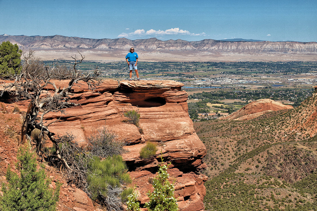
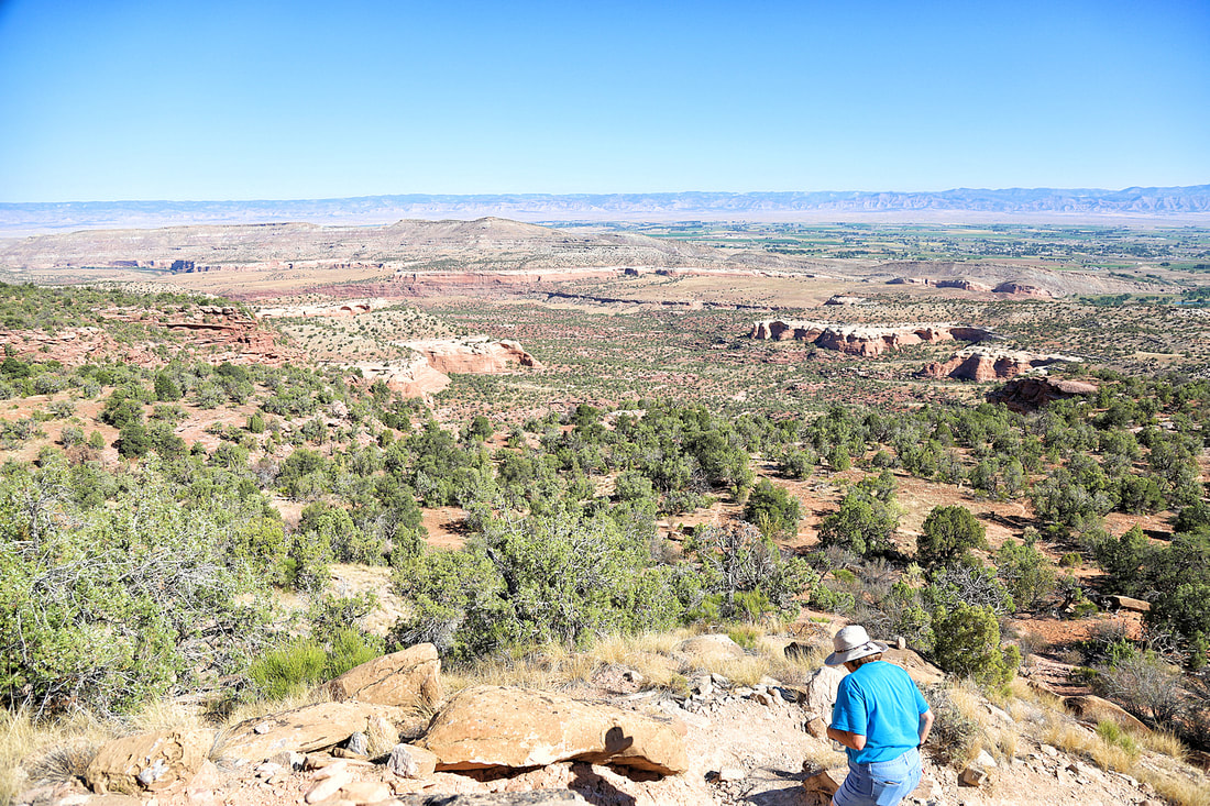
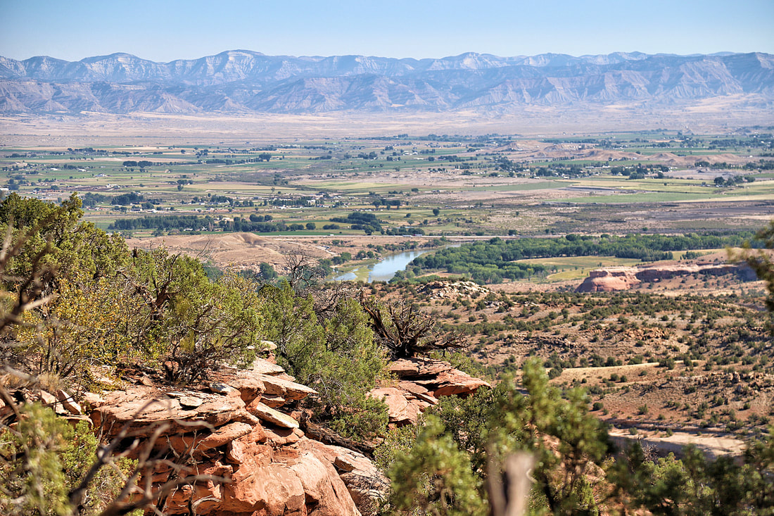
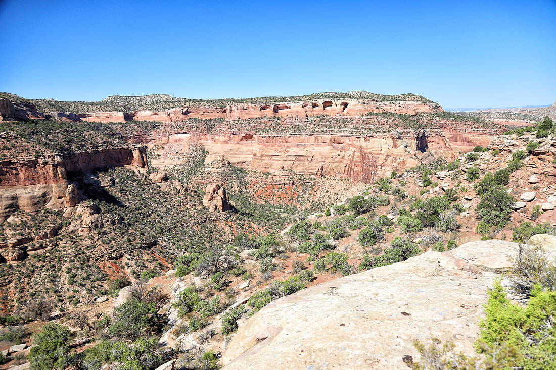
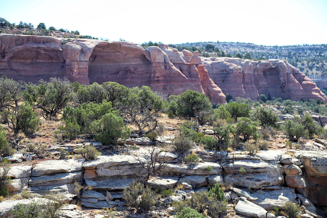
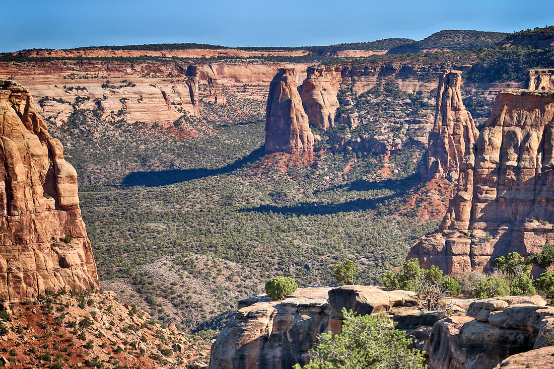
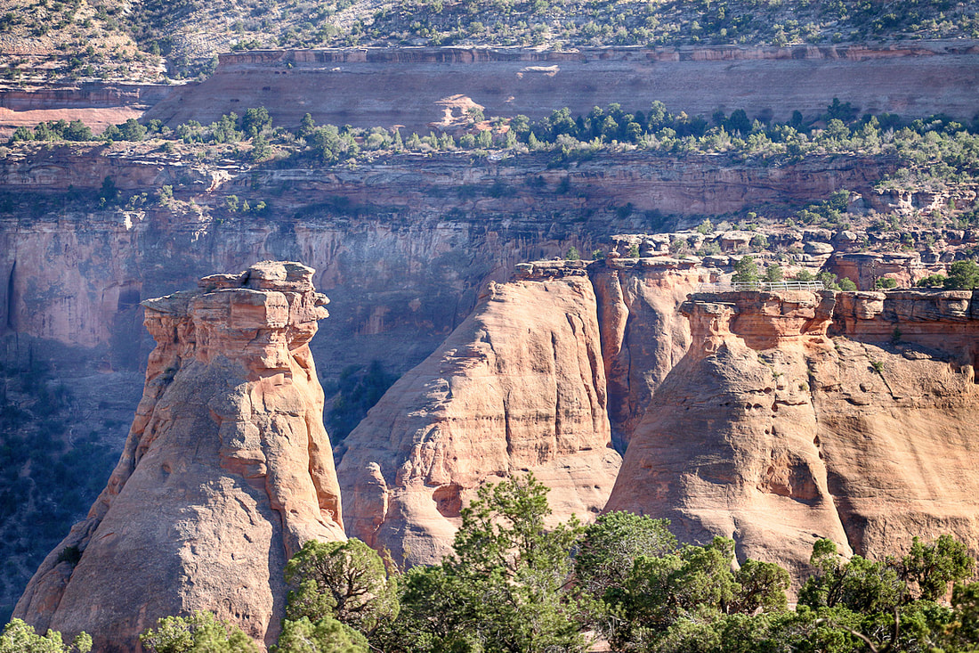
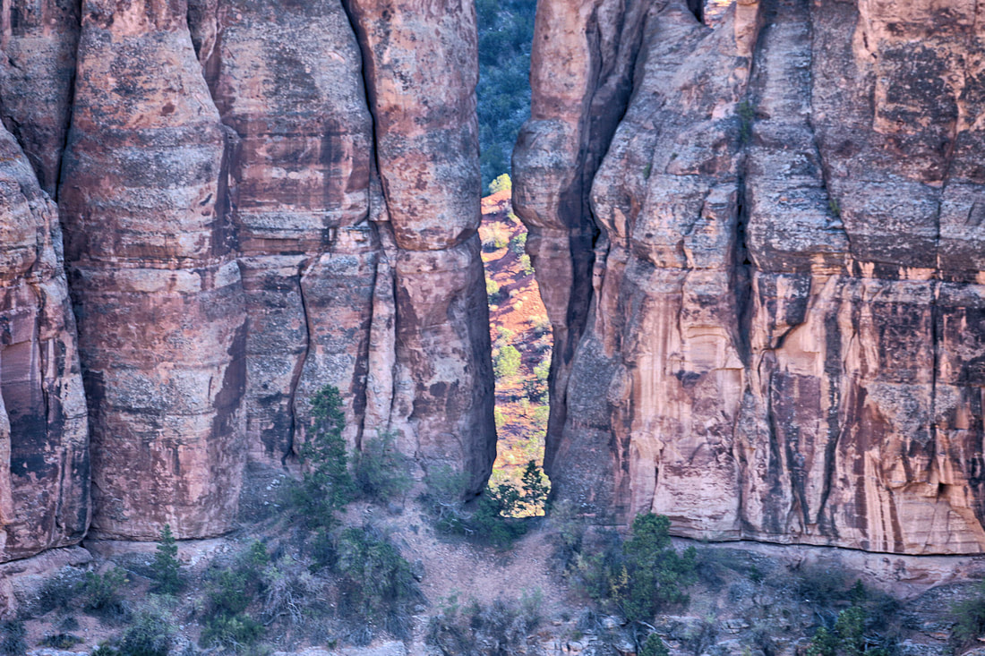
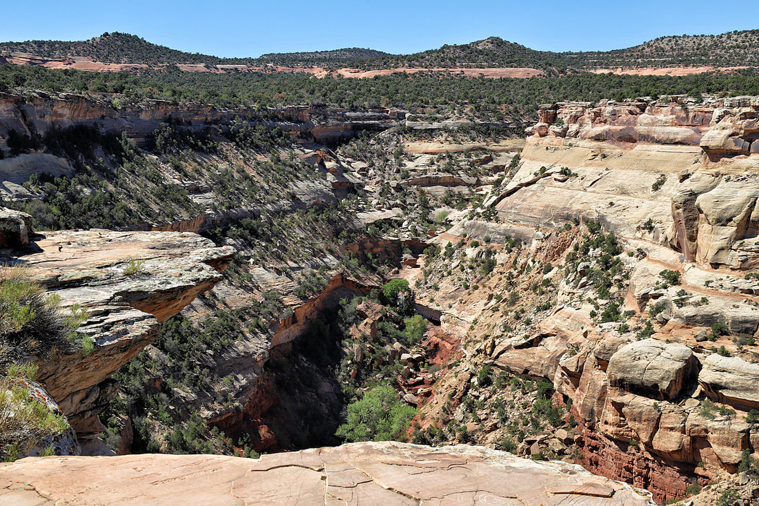
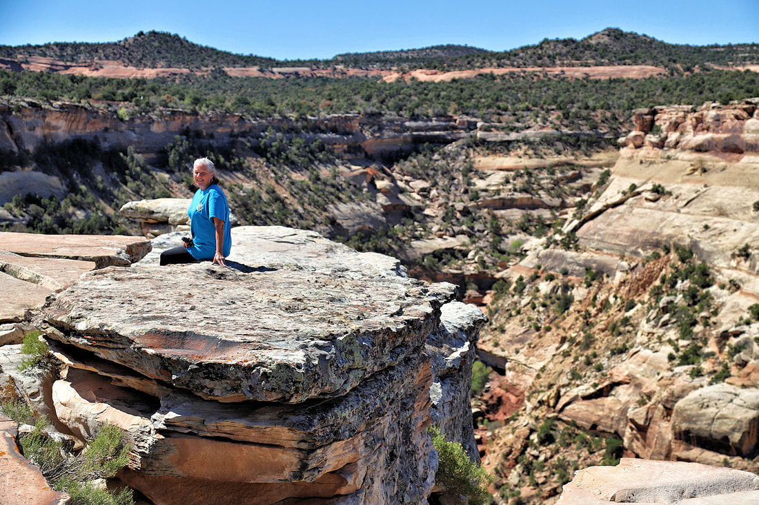
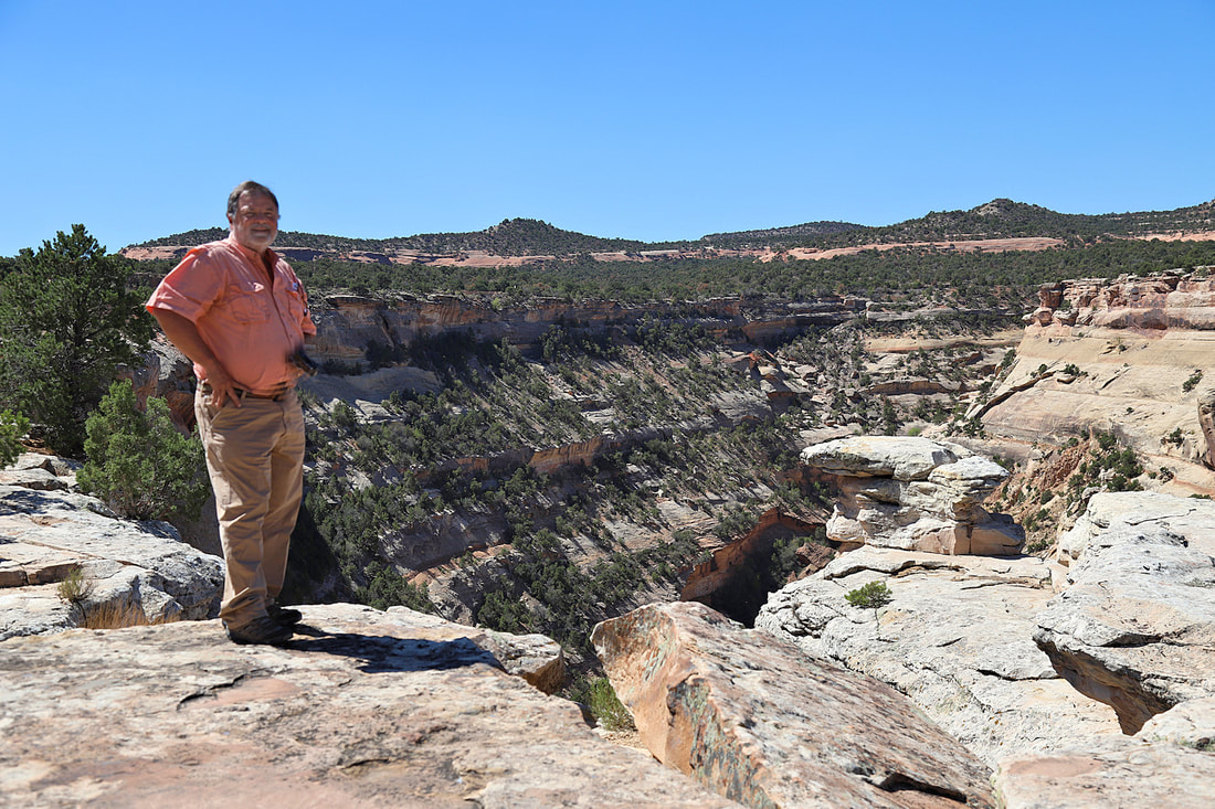
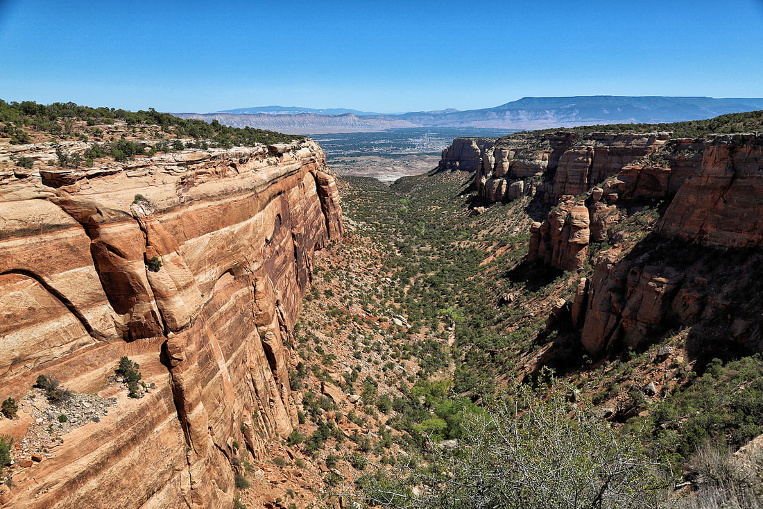
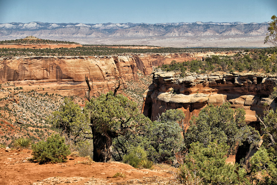
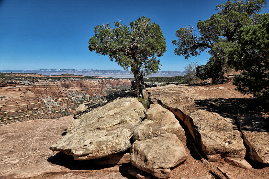
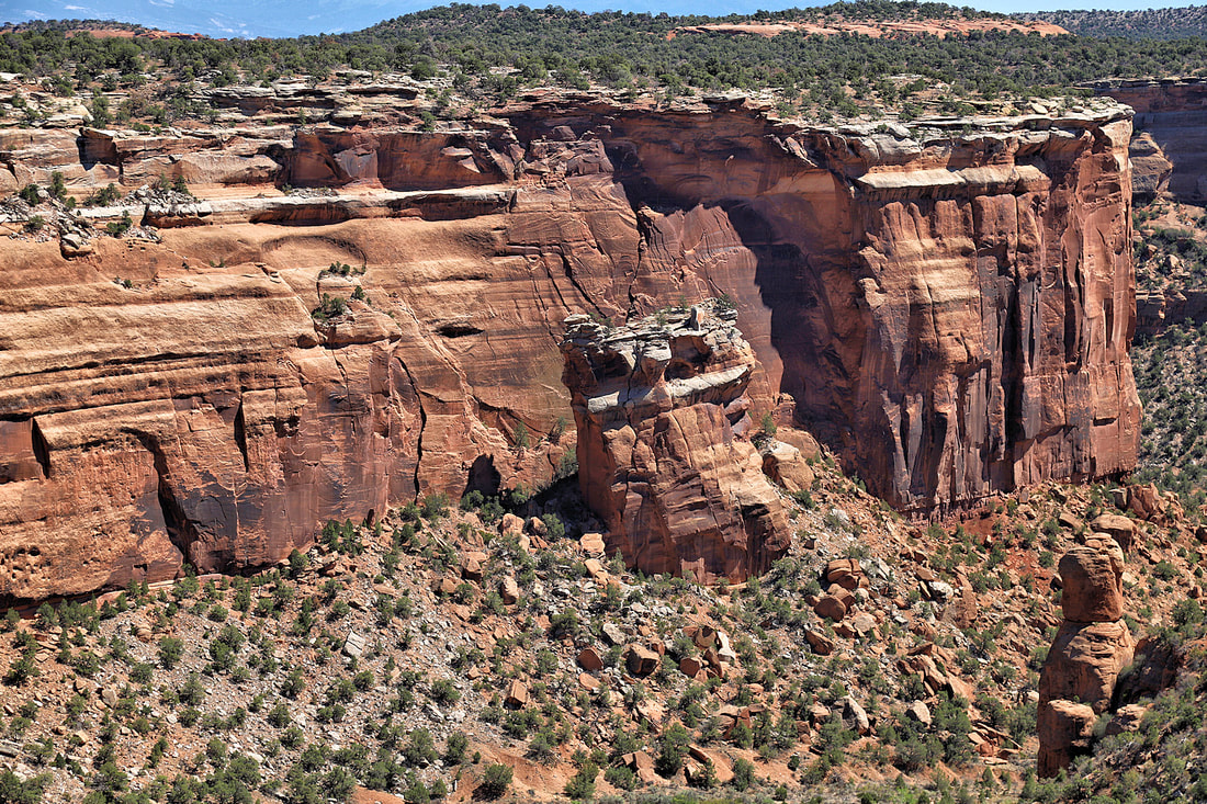
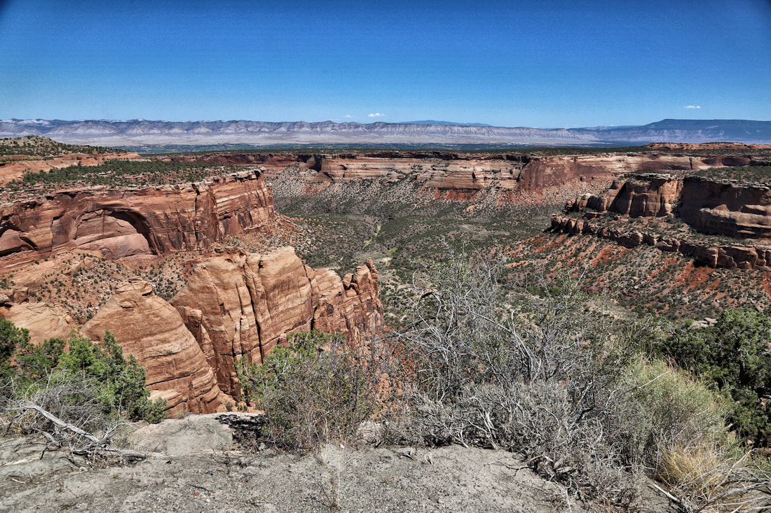
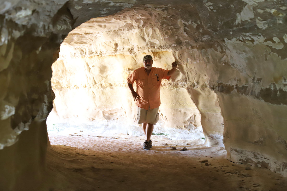
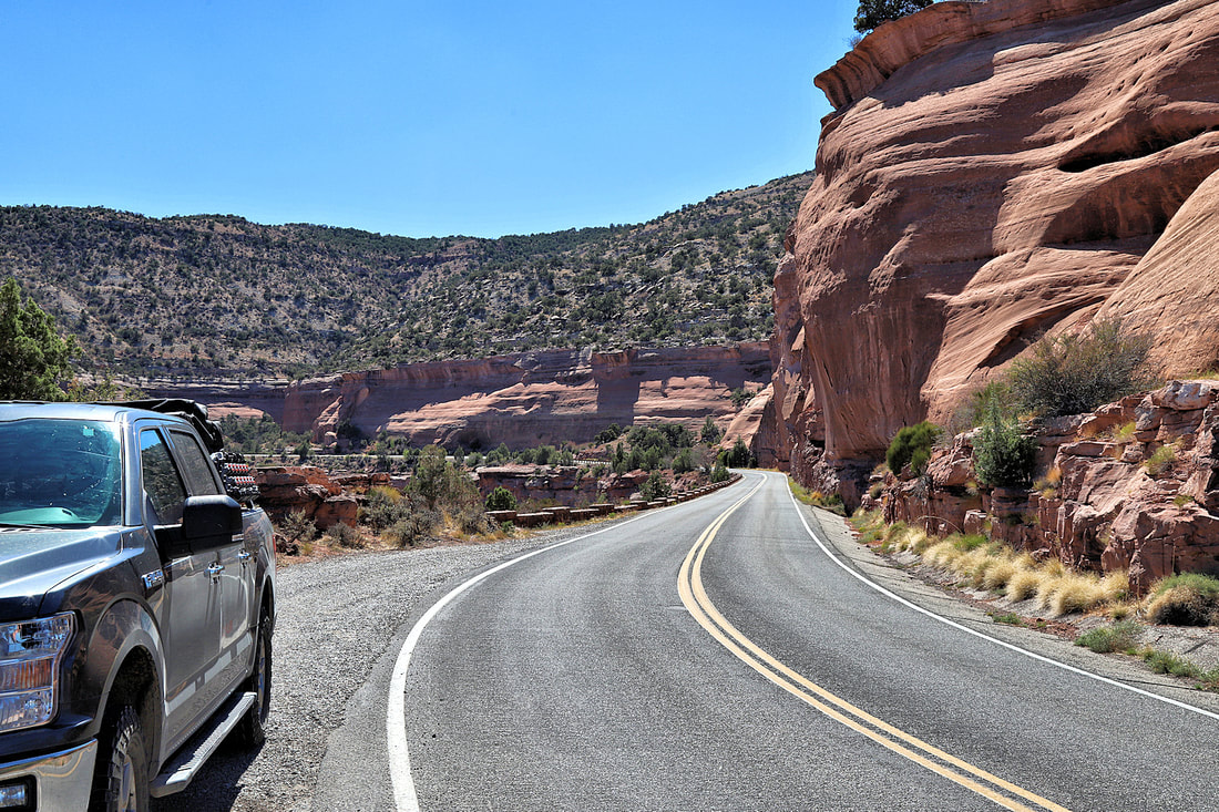
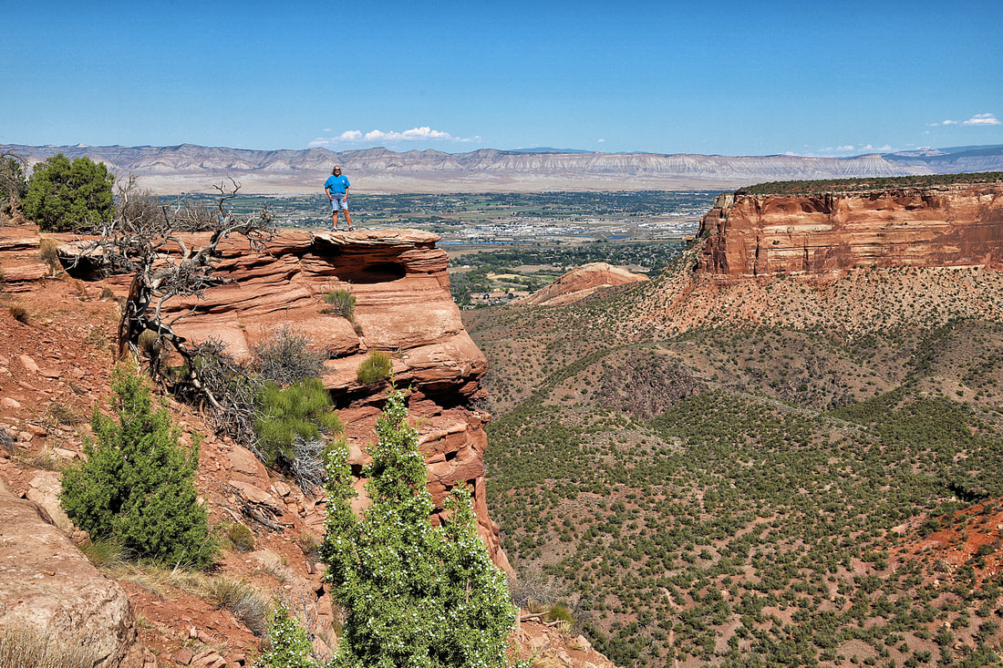
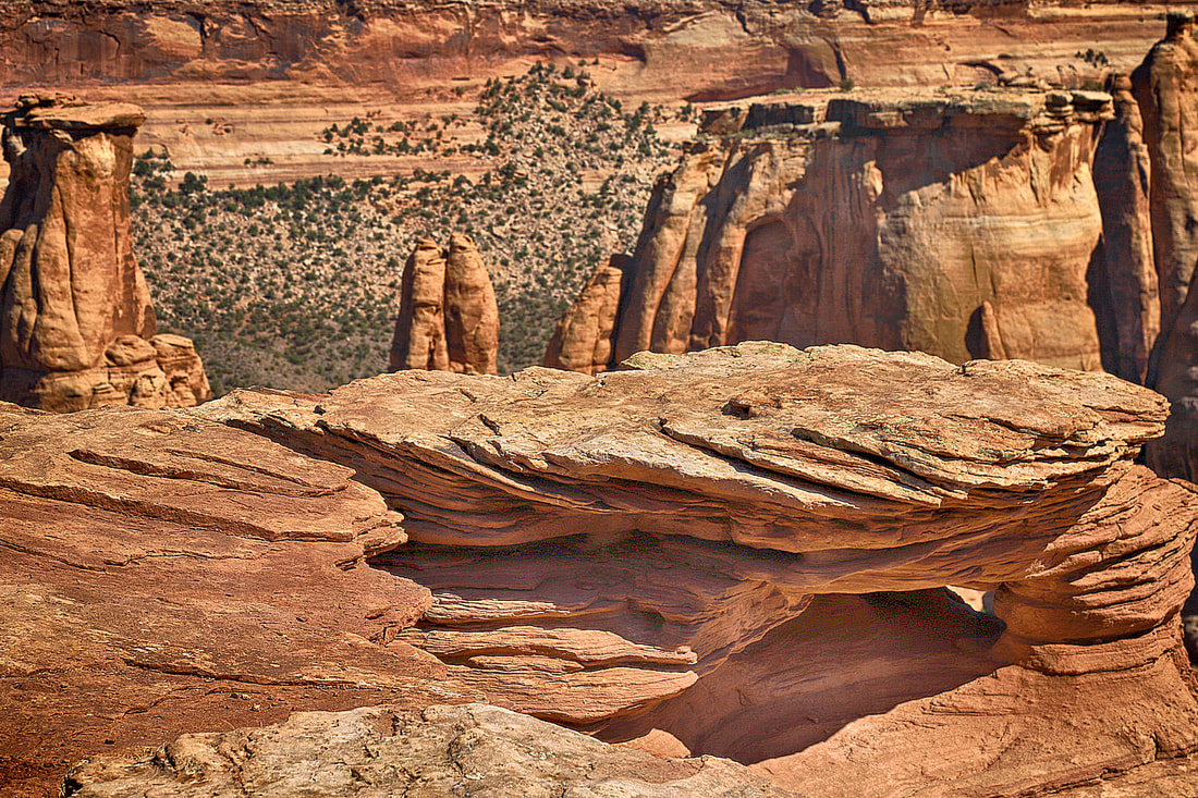
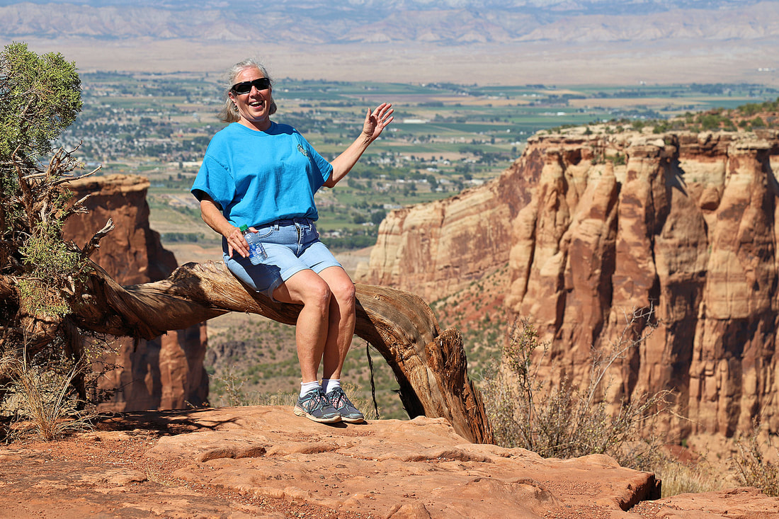
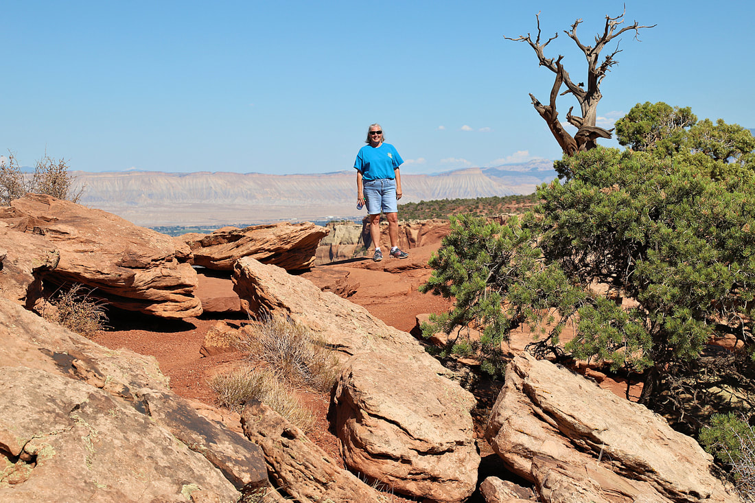
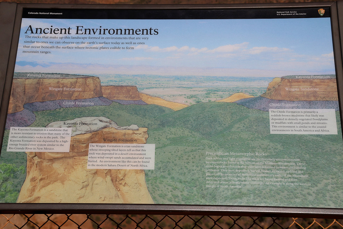
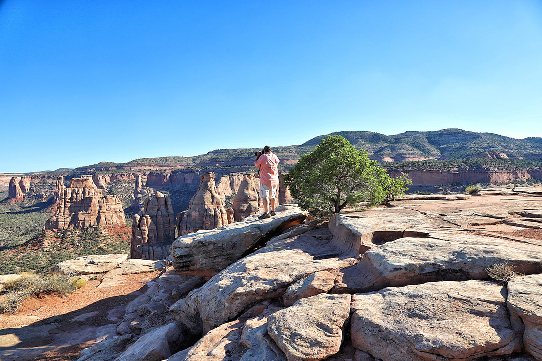
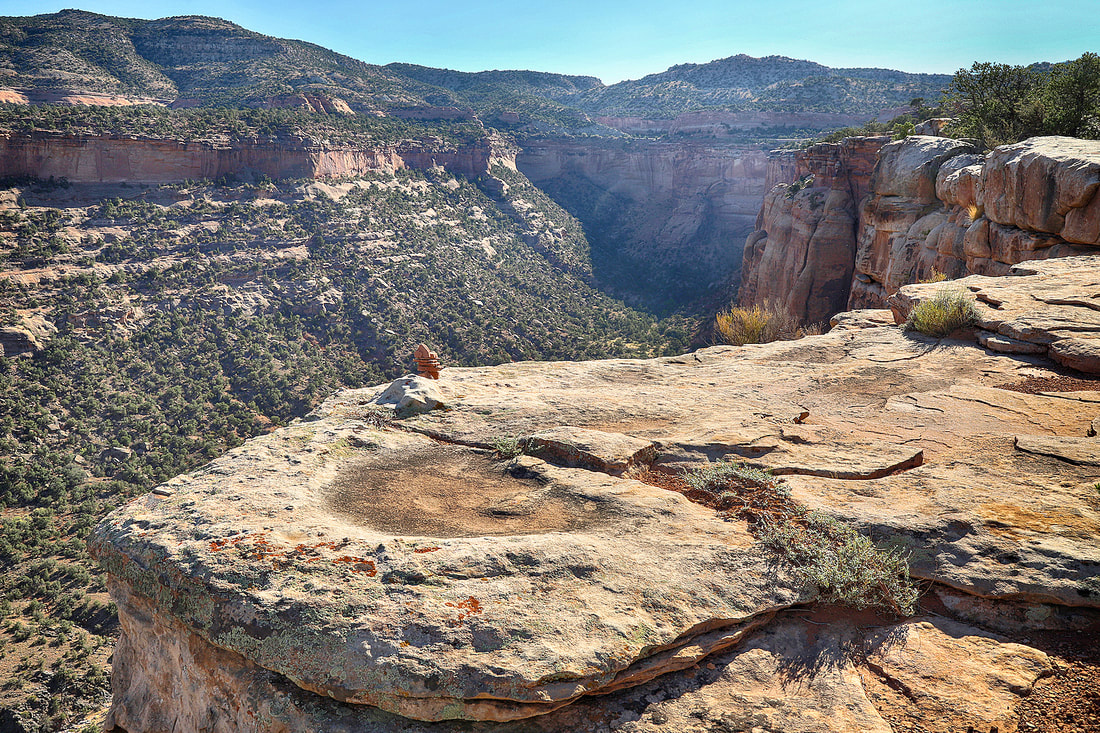
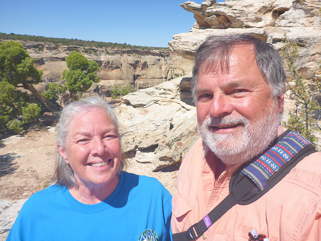
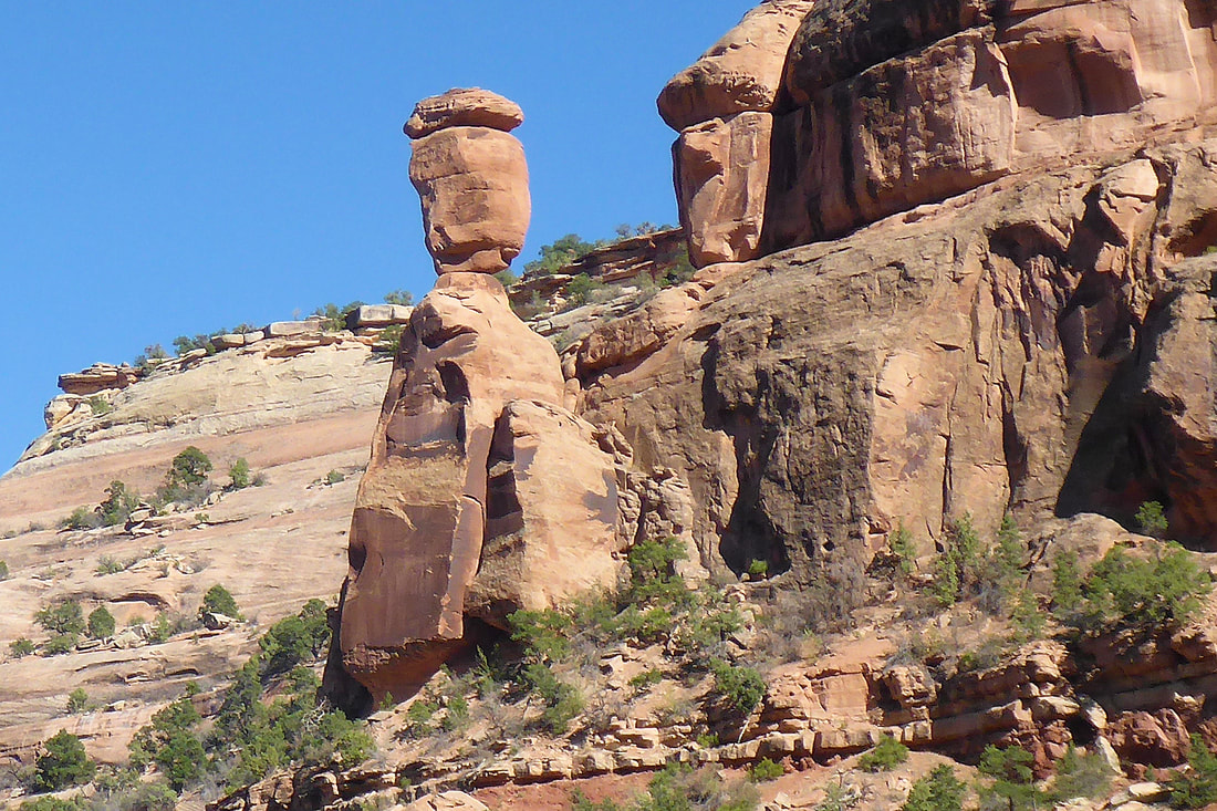
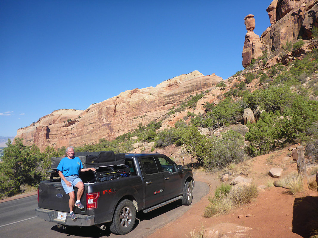
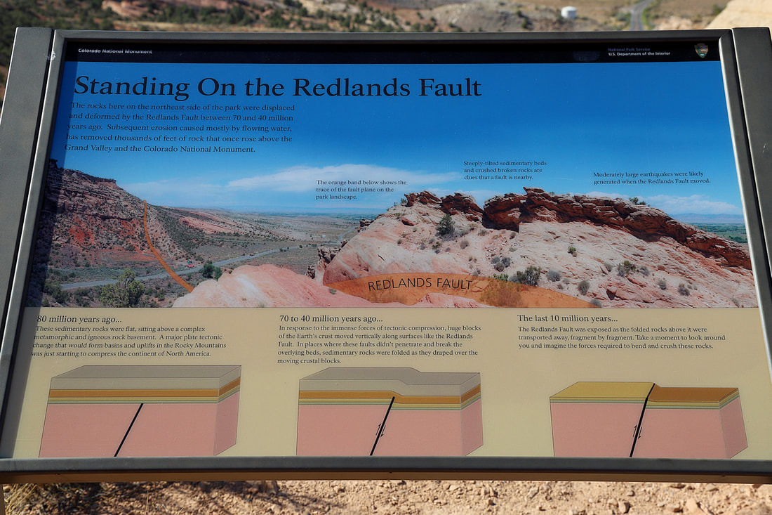
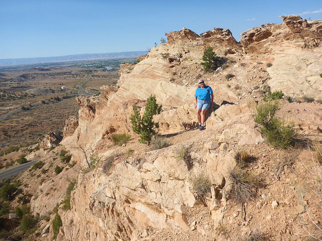
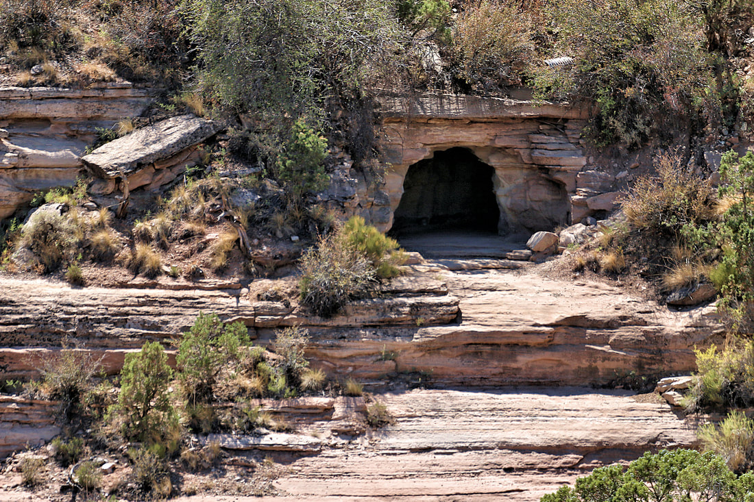
colorado national monument
|
The park has a main road driving through and much can be seen just driving and stopping at each overlook. Hiking trails are available with most going down into the canyon. Map
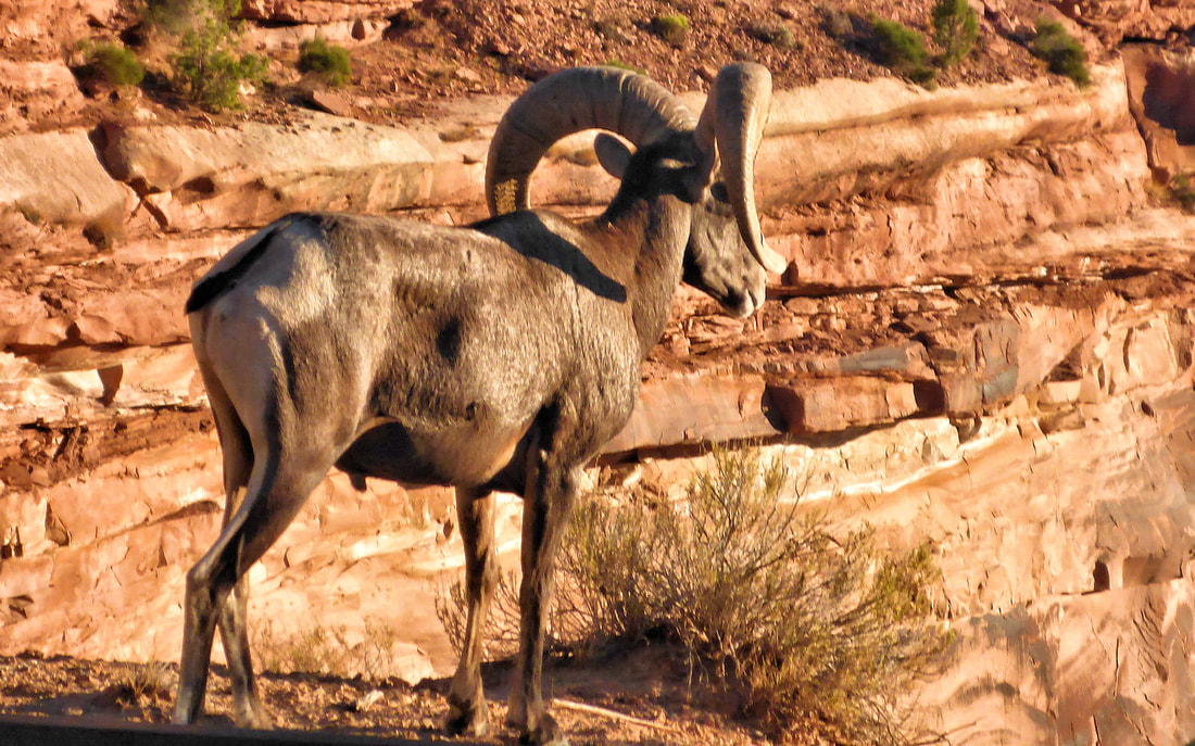
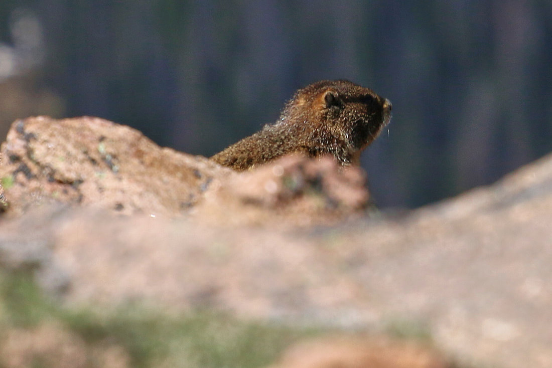
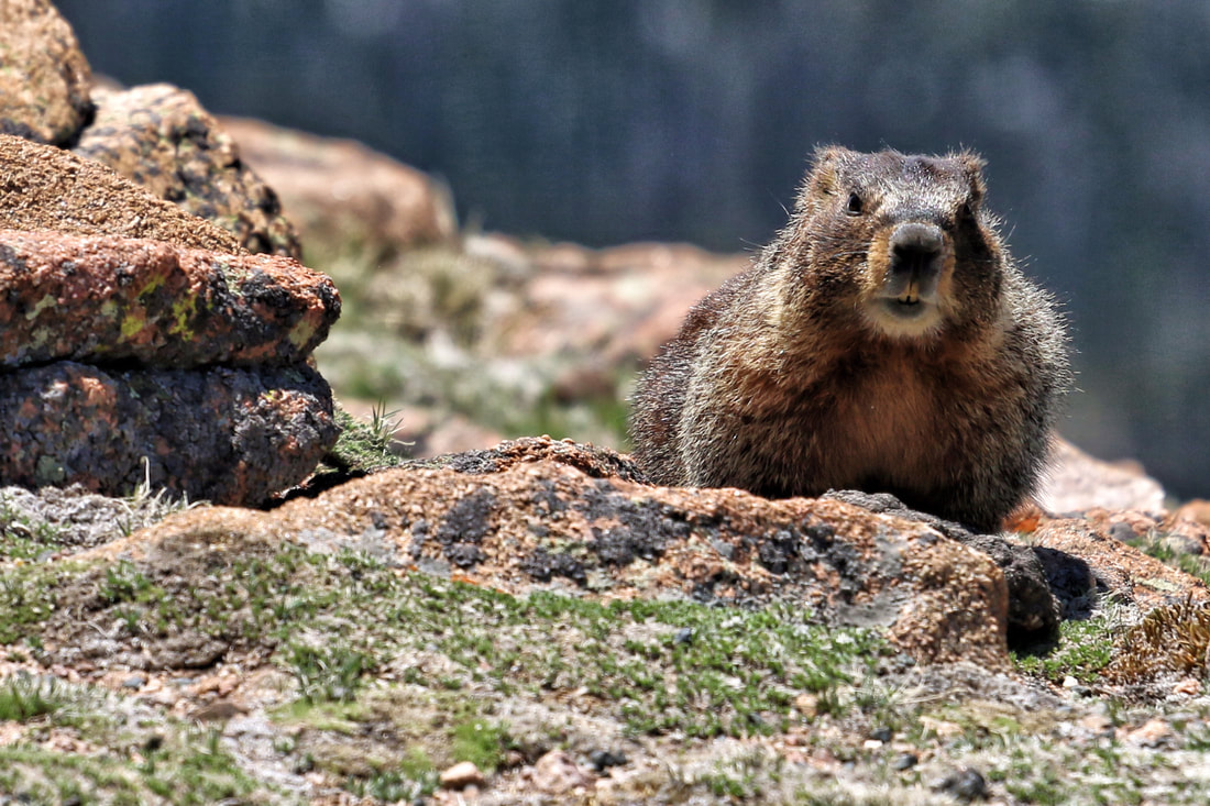
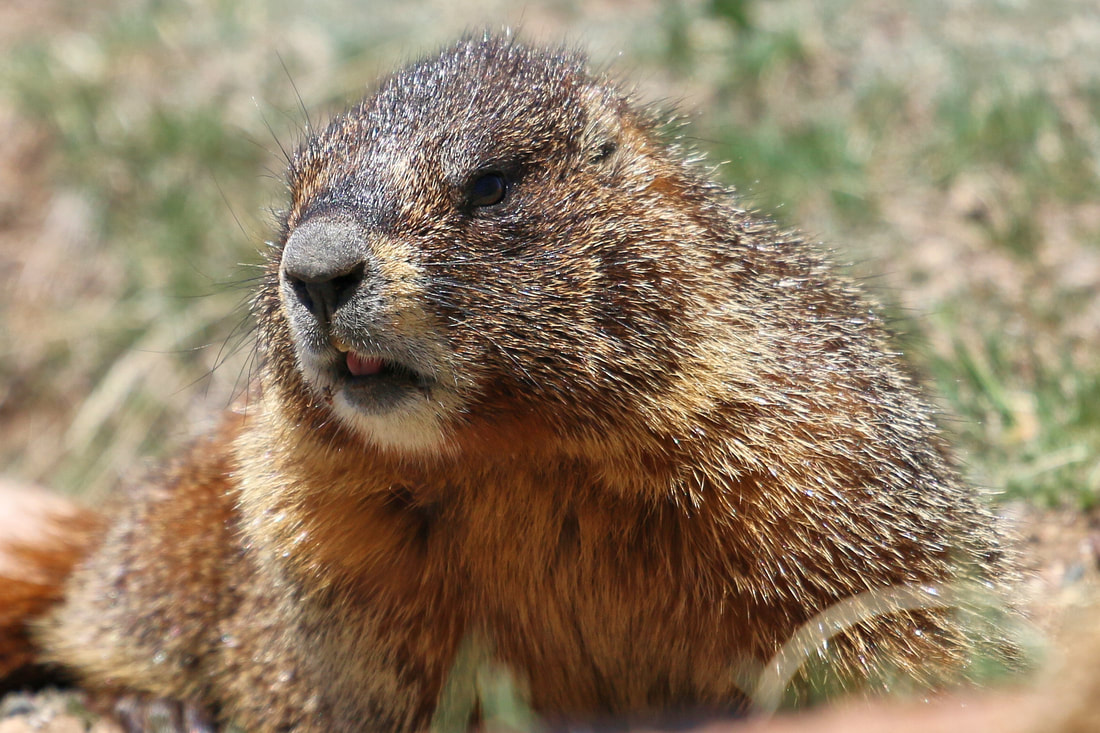
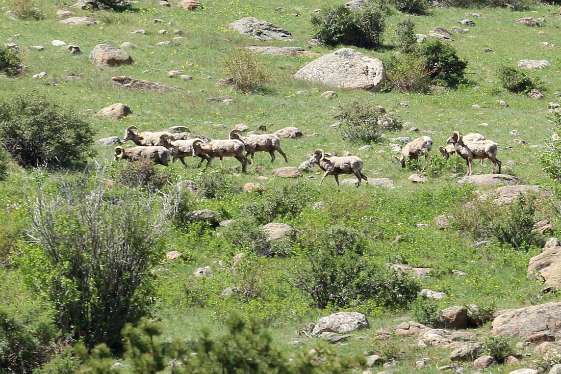
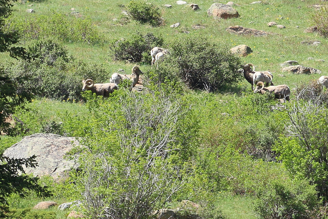
Big Horn Sheep are in the area
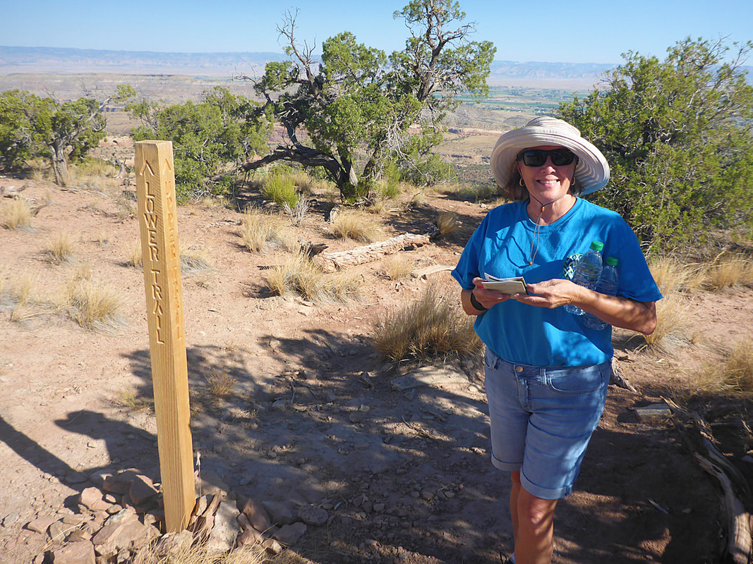
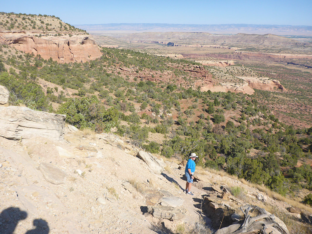
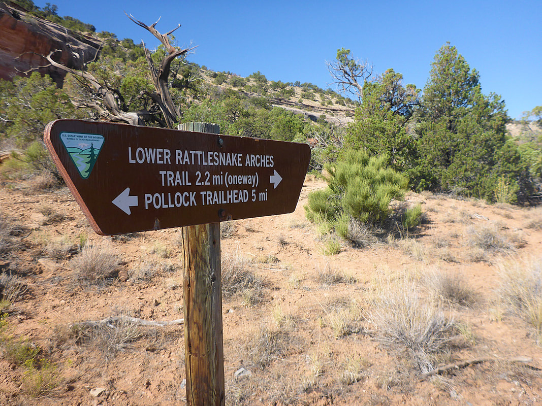
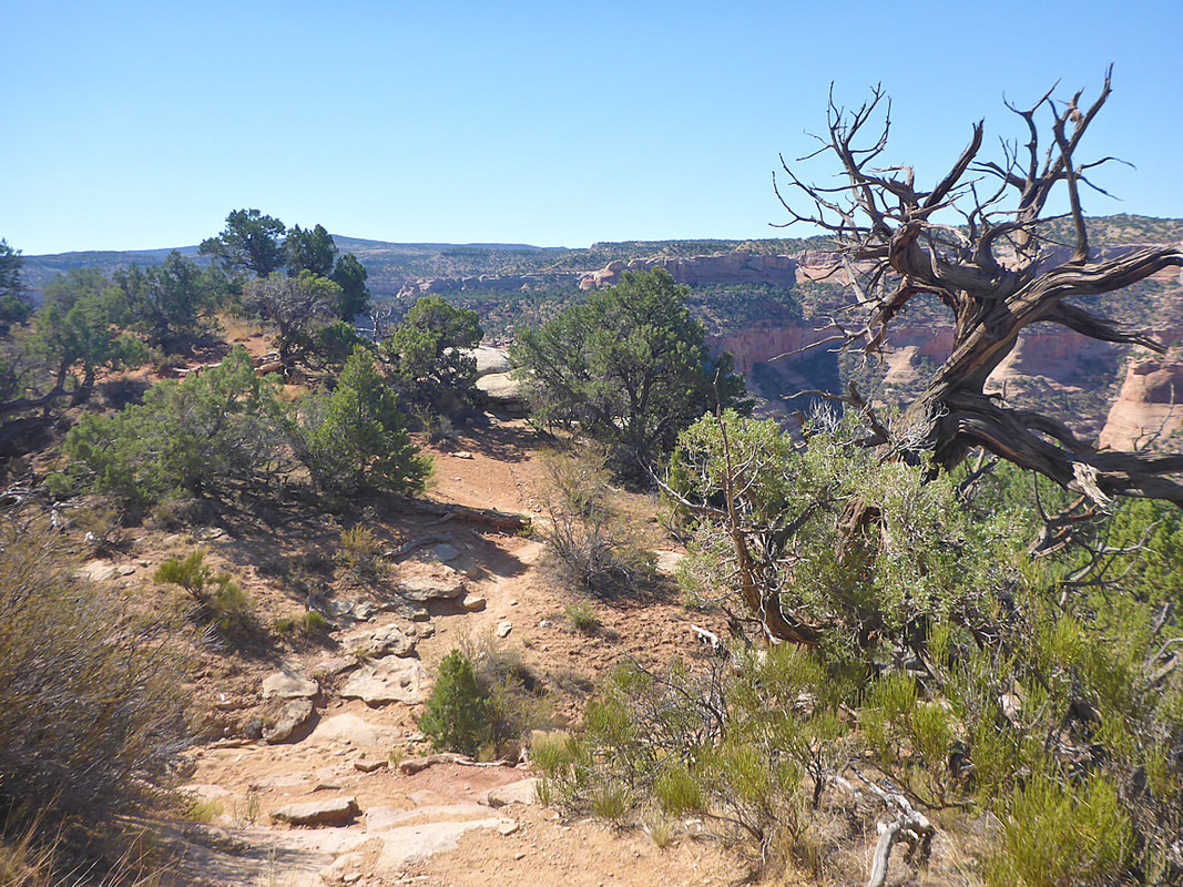
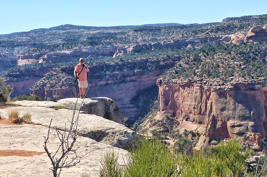
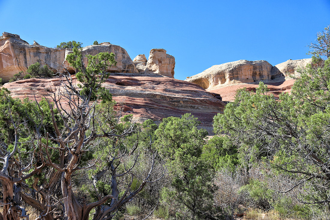
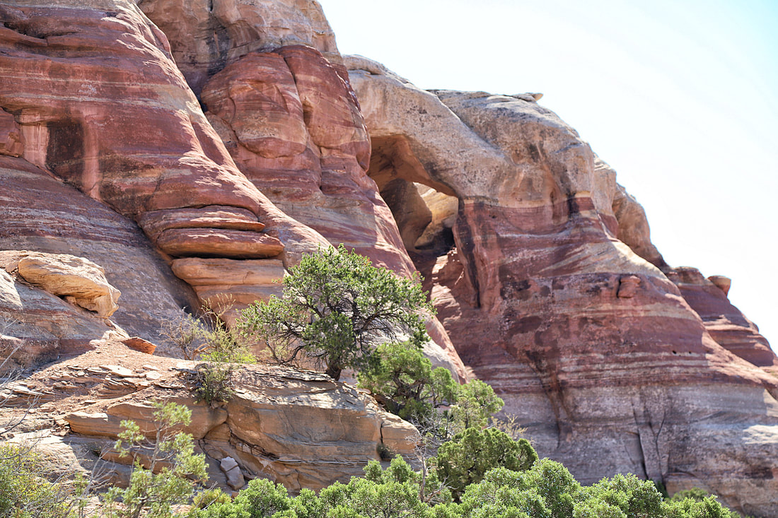
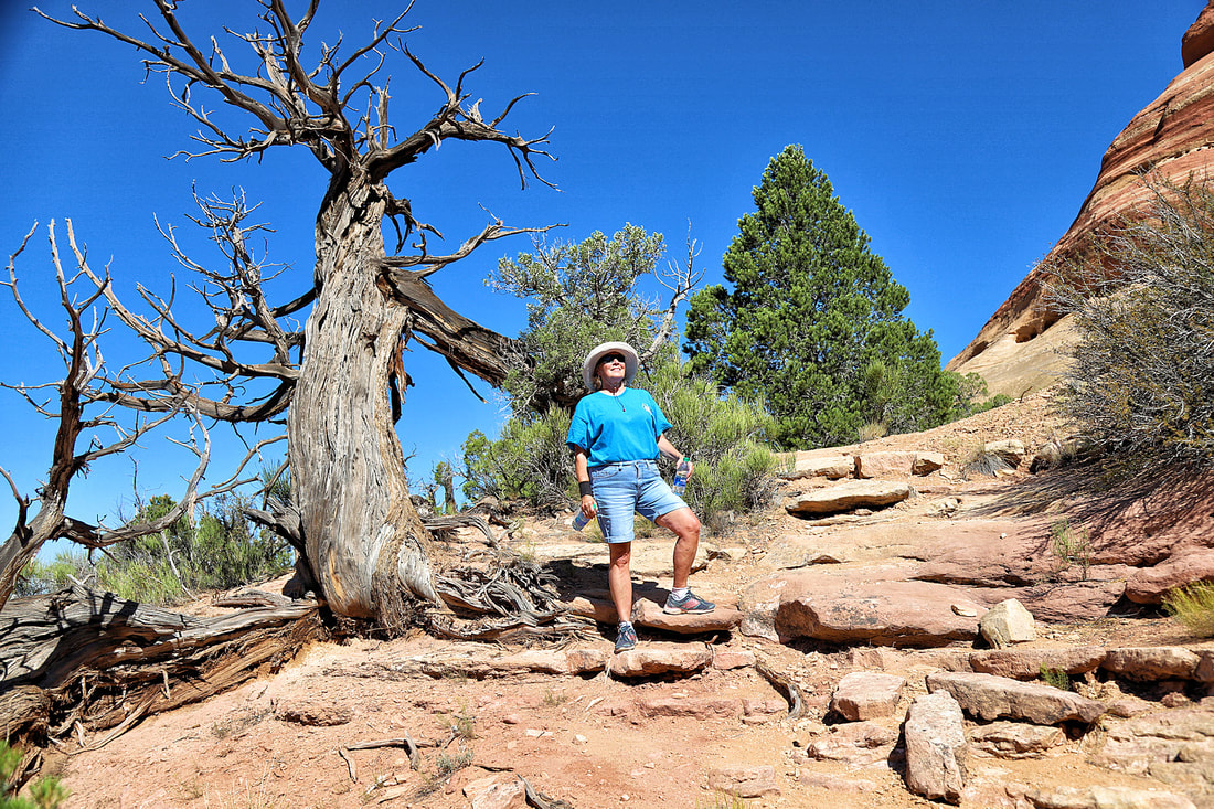
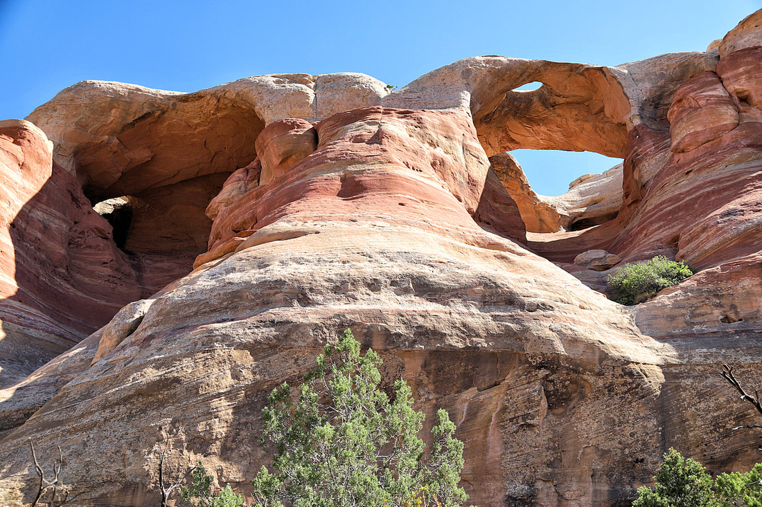
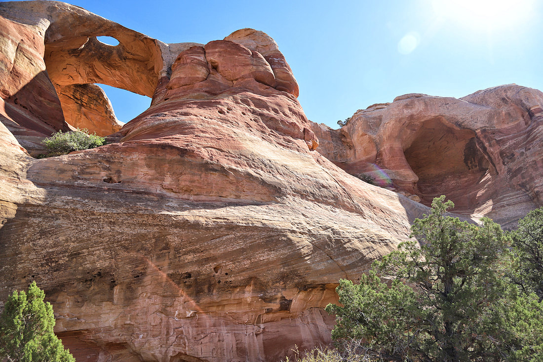
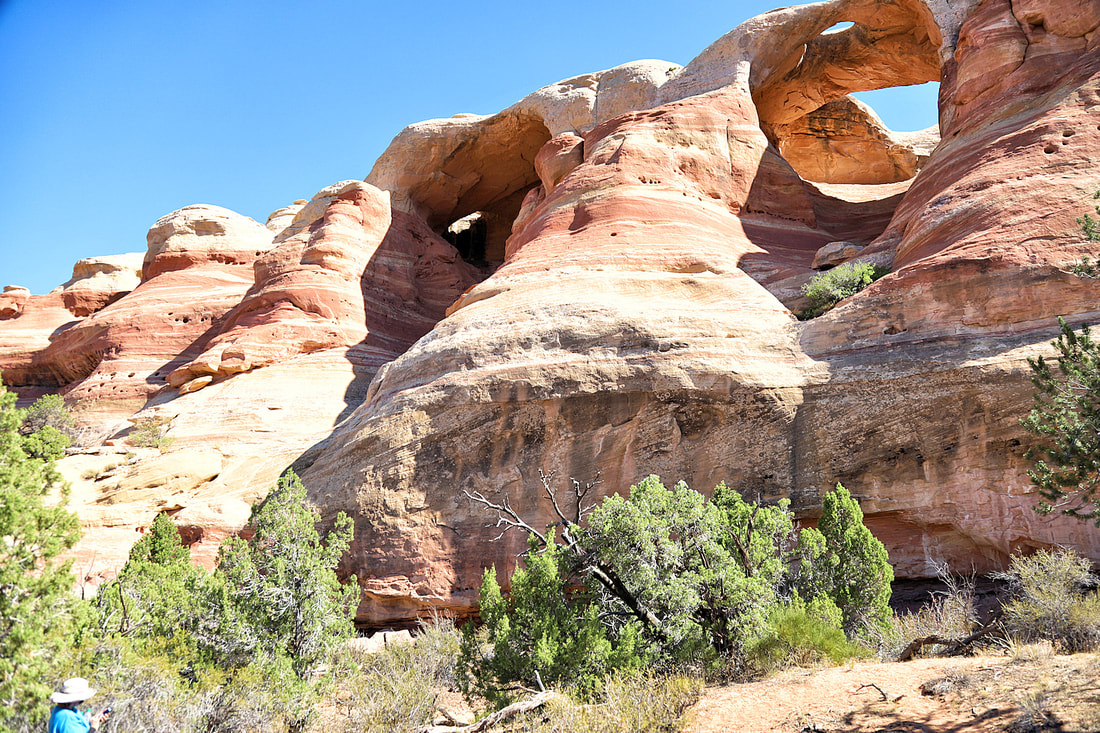
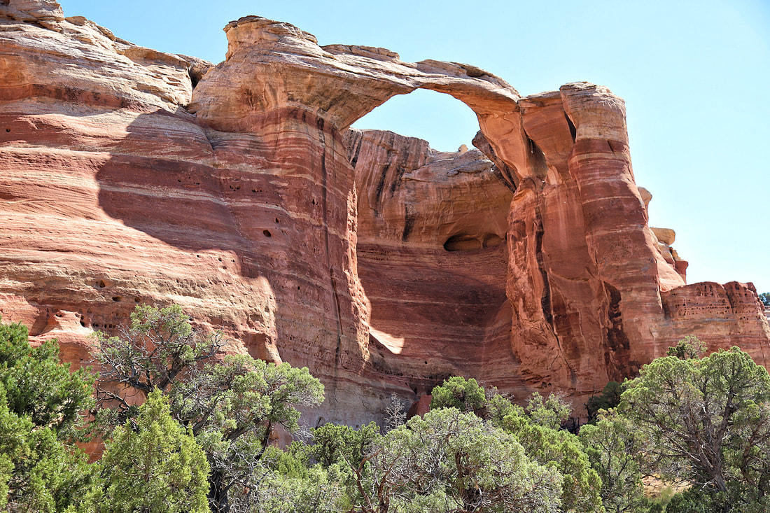
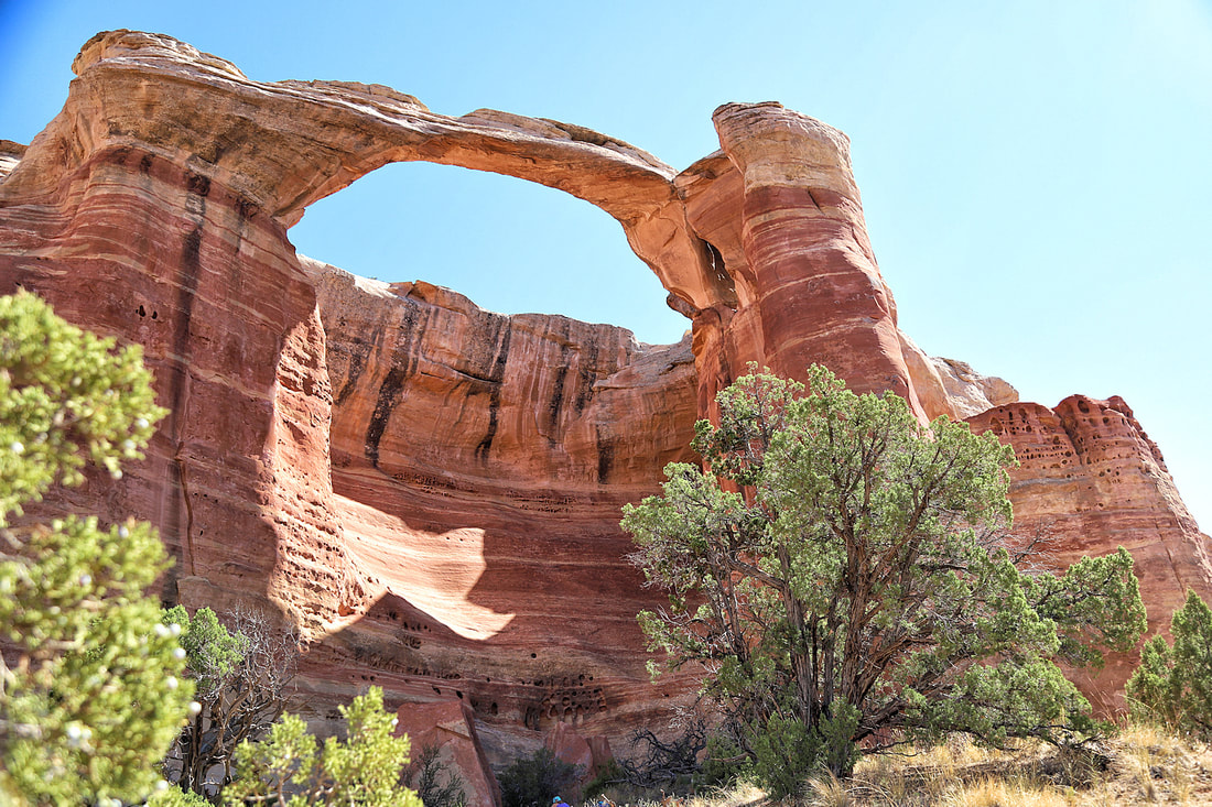
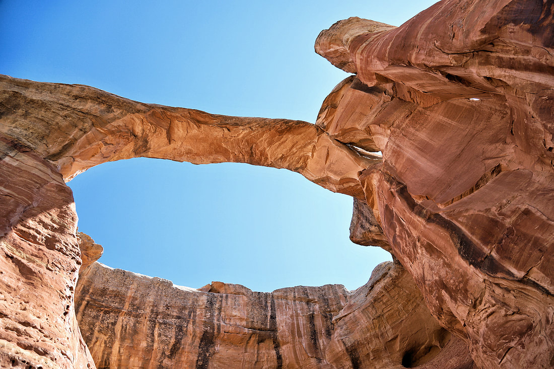
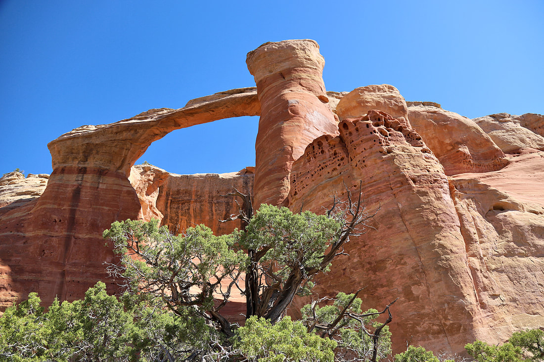
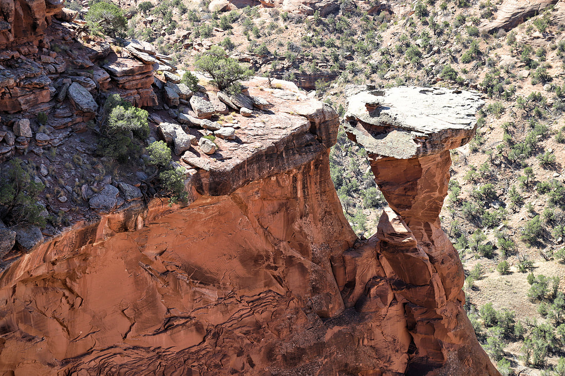
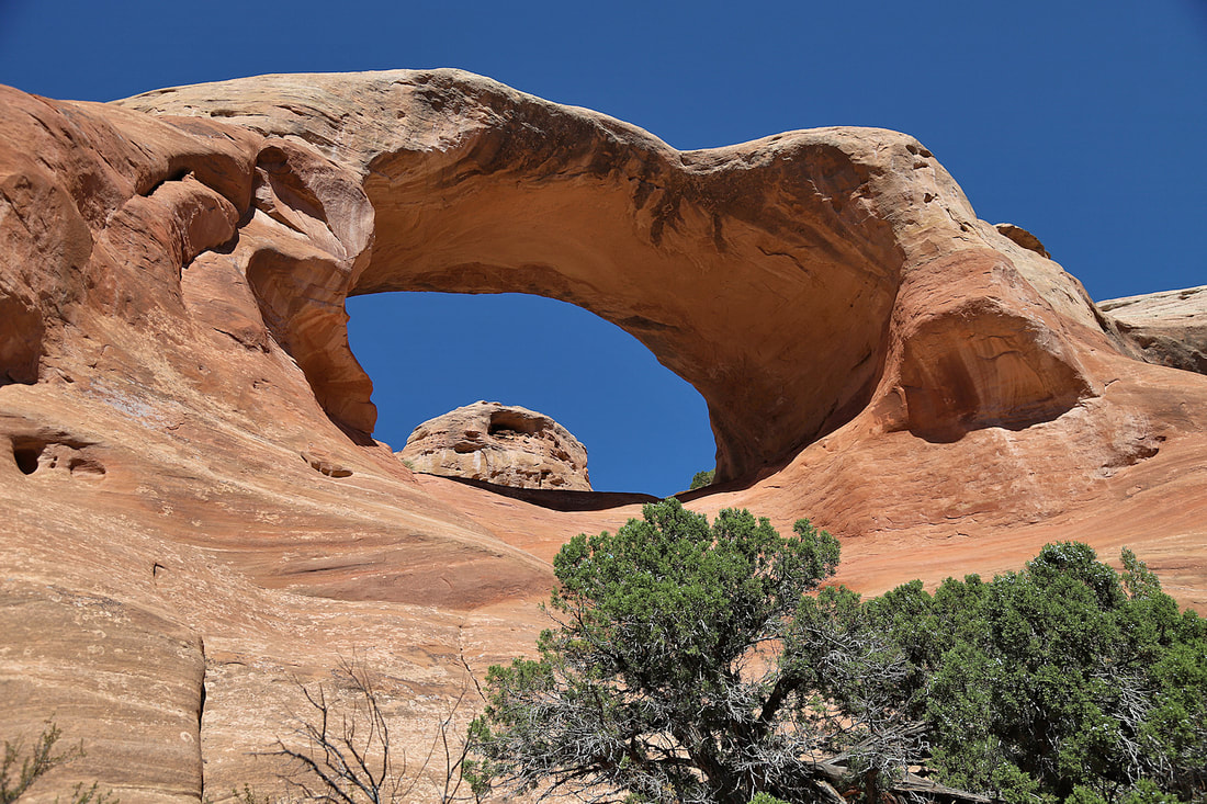
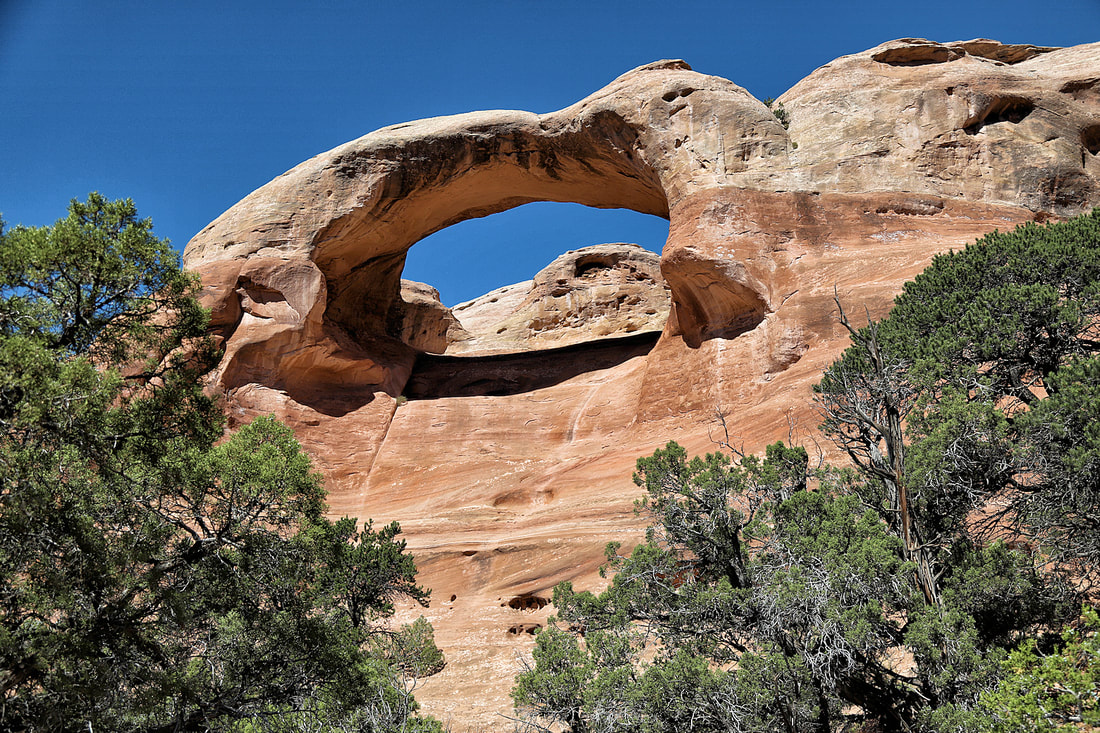
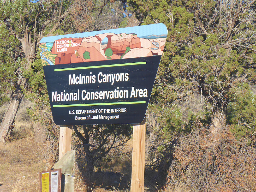
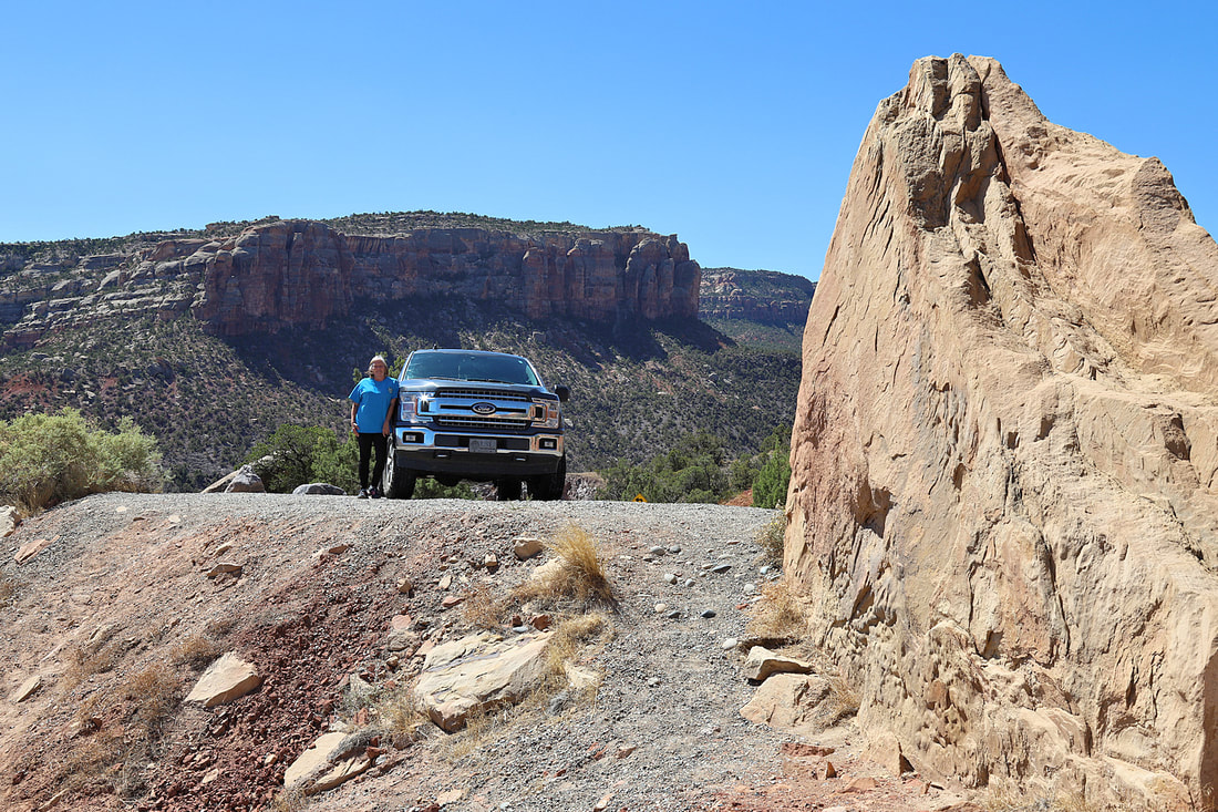
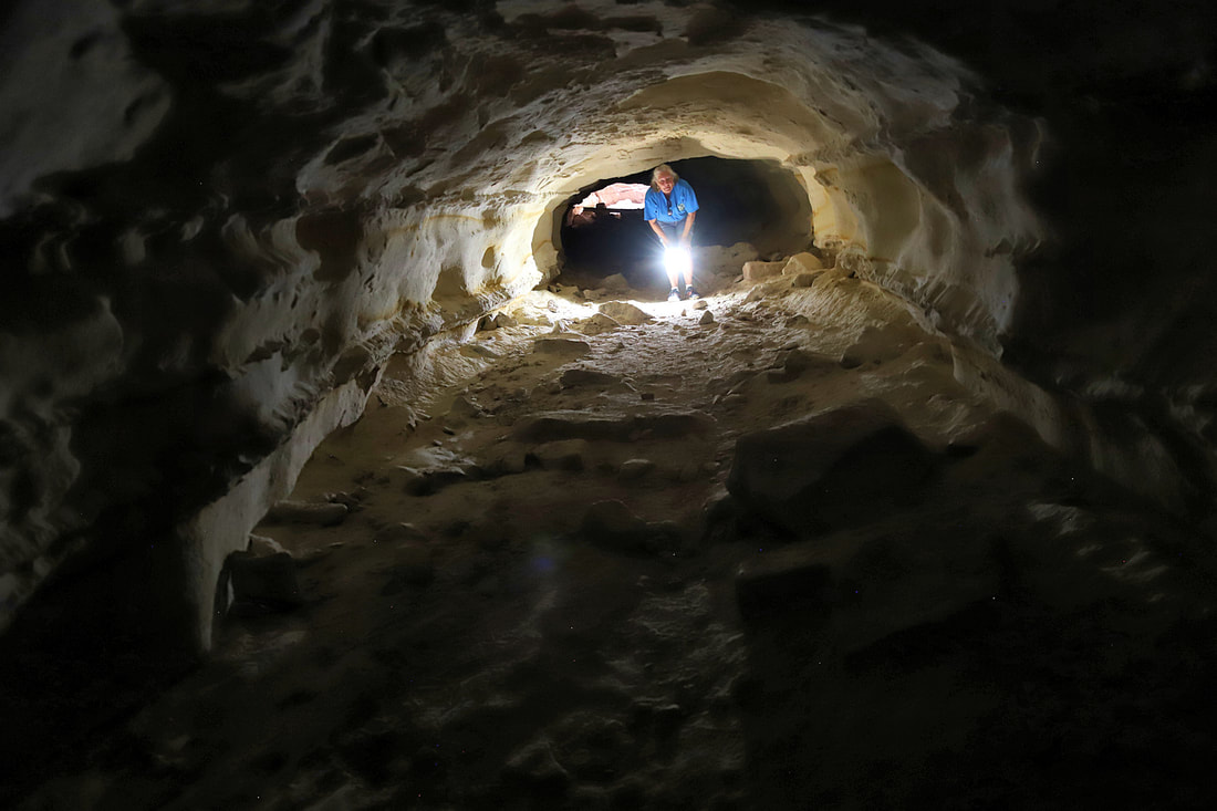
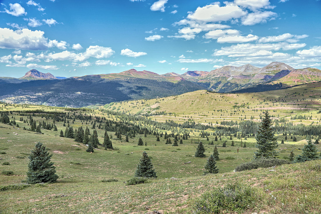
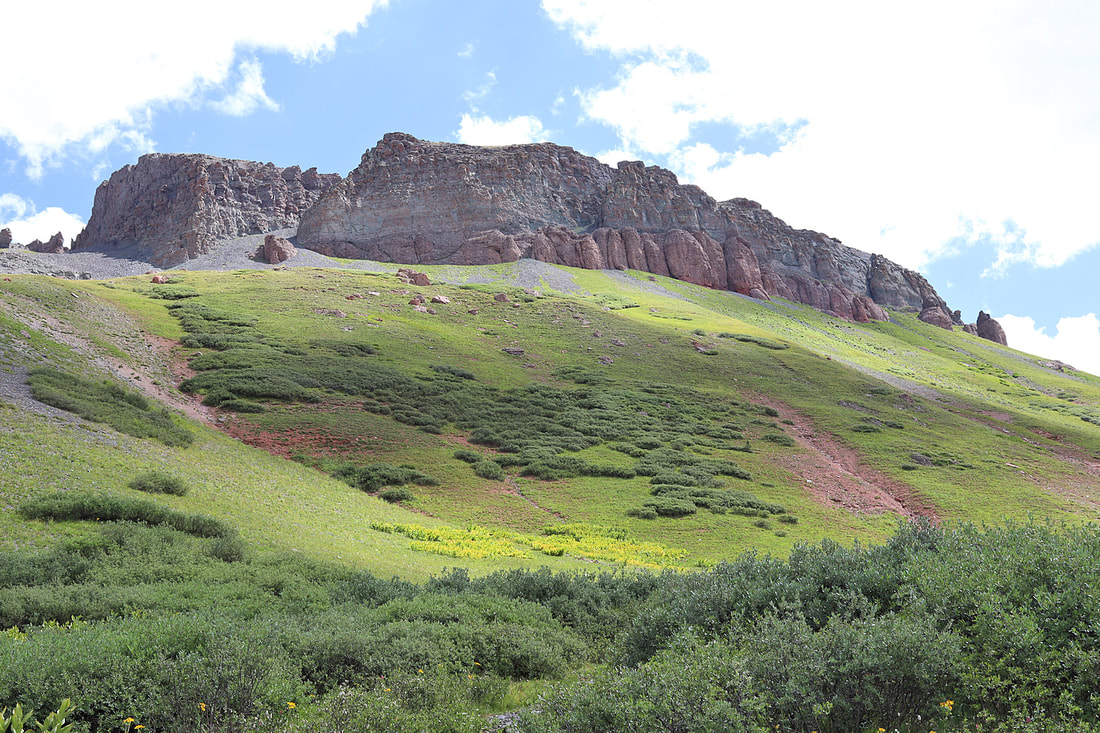
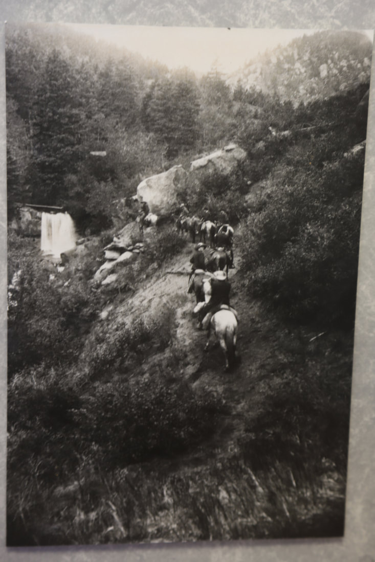
RATTLESNAKE ARCHES TRAIL
|
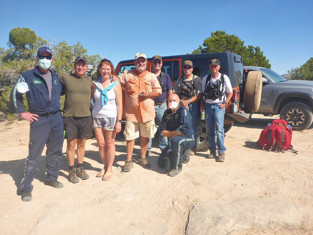
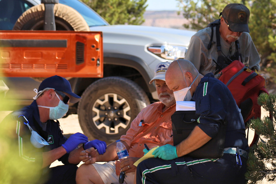
Our Rescue Team at Rattlesnake Trail
|


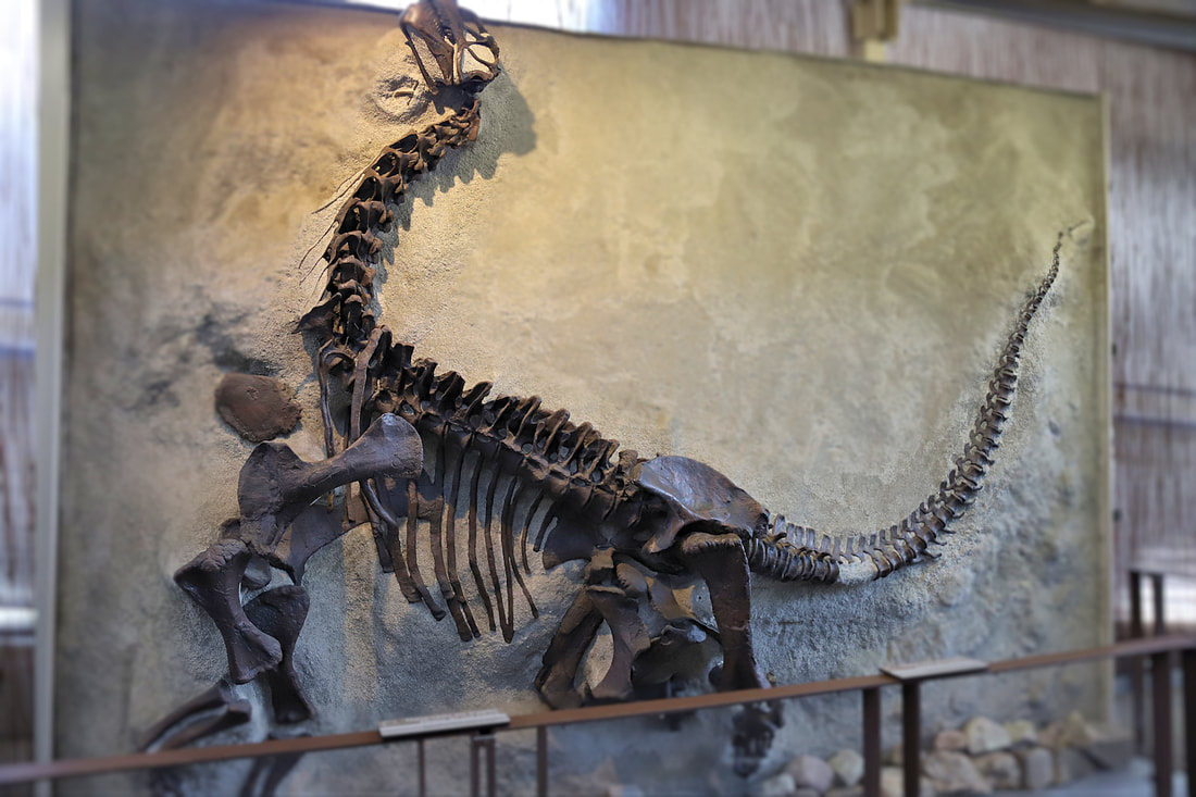
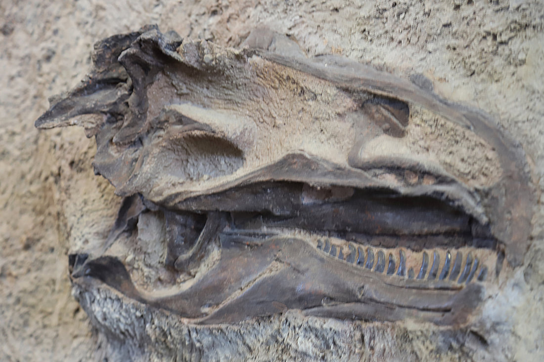
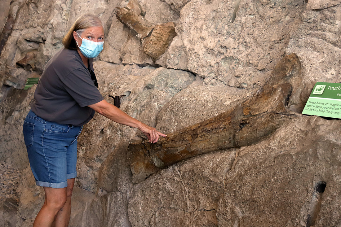
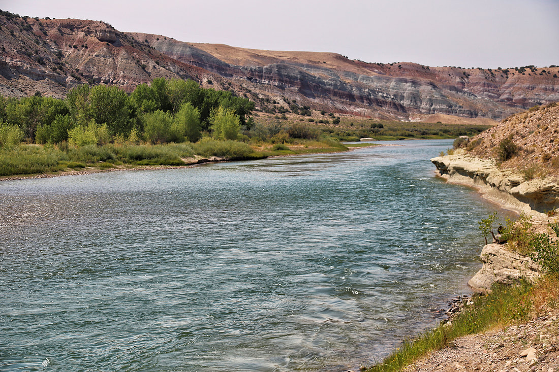
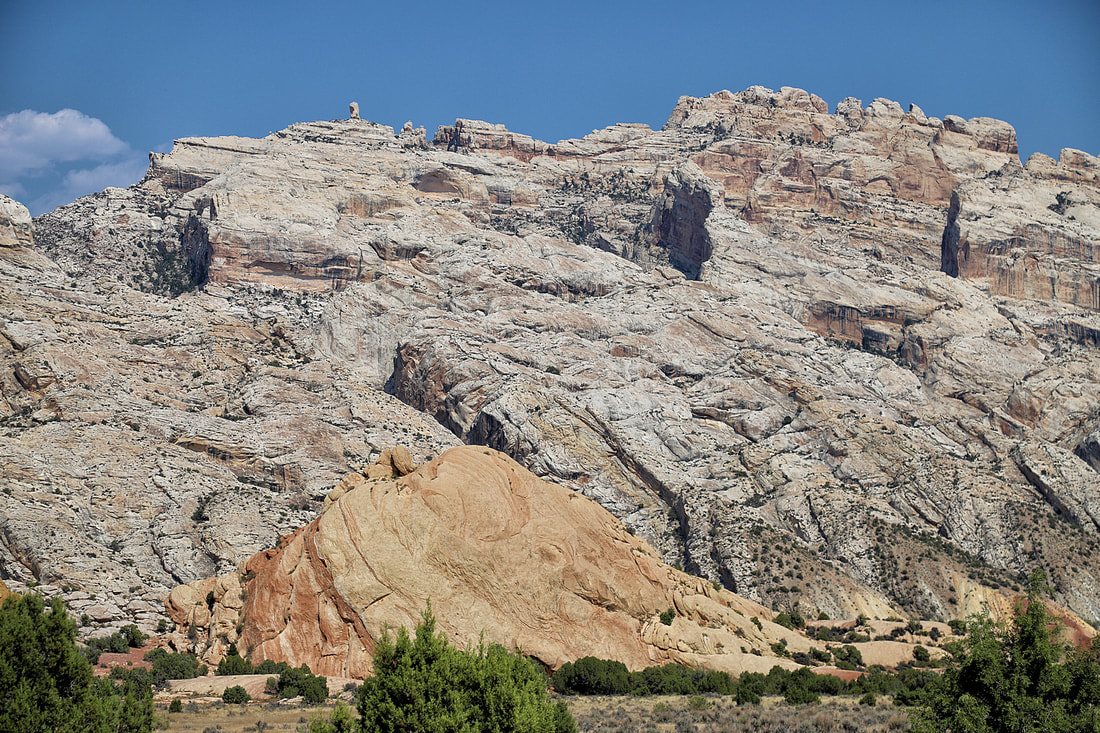
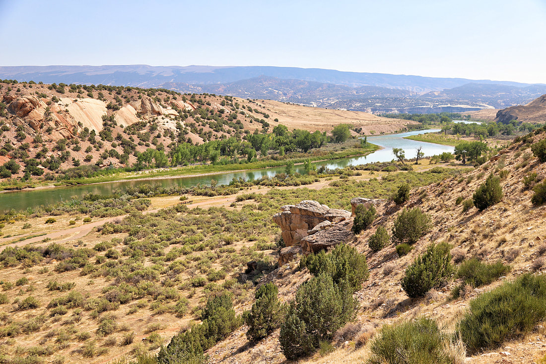
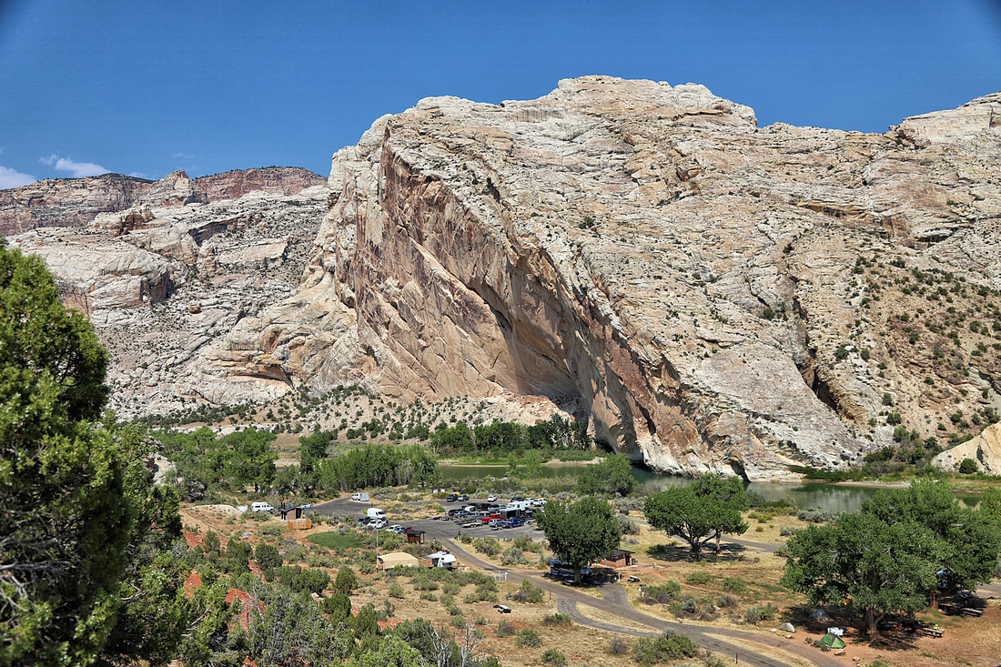
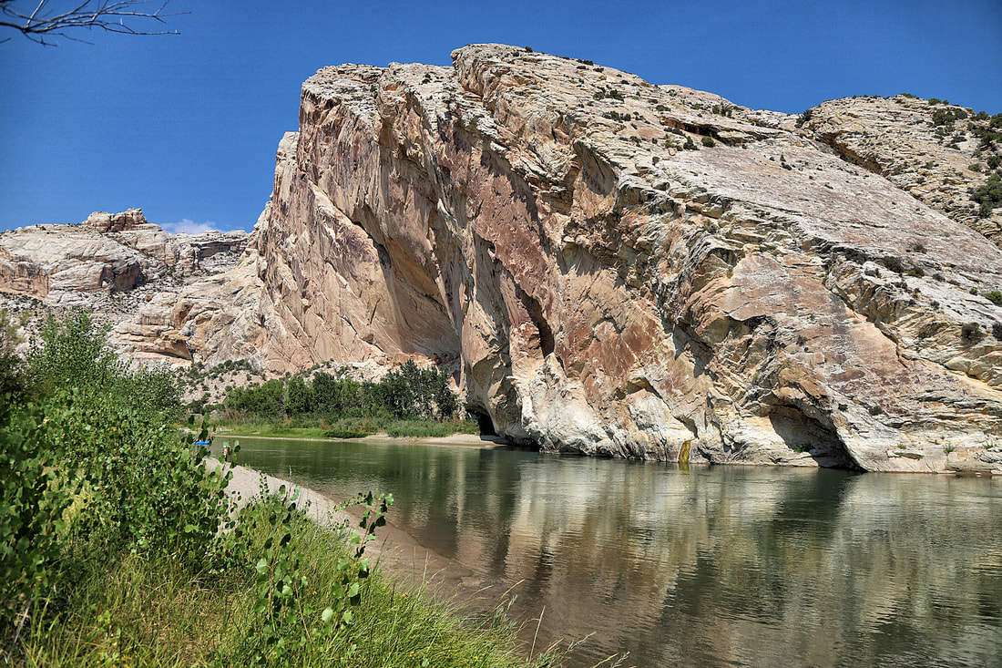
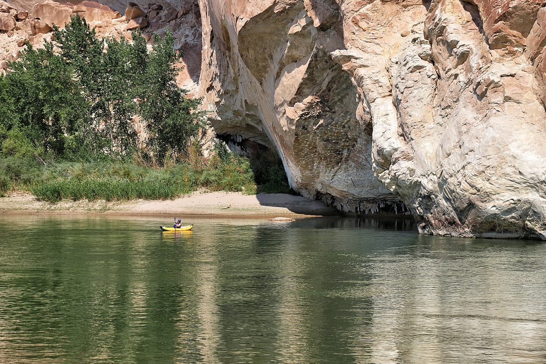
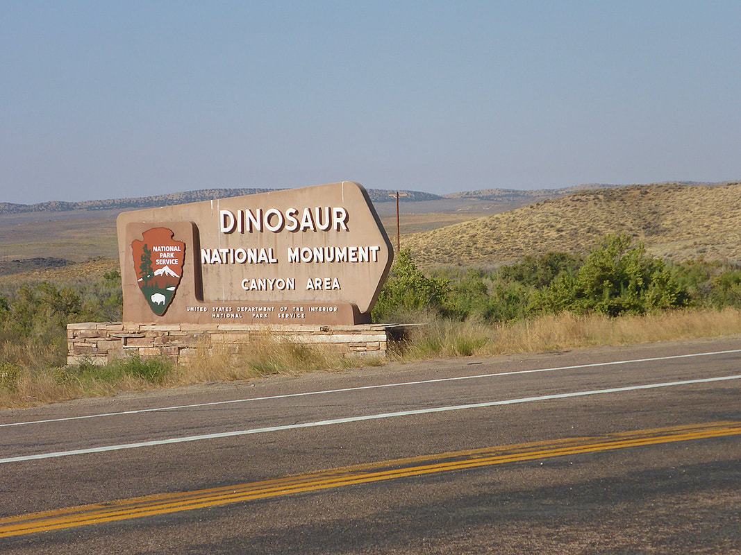
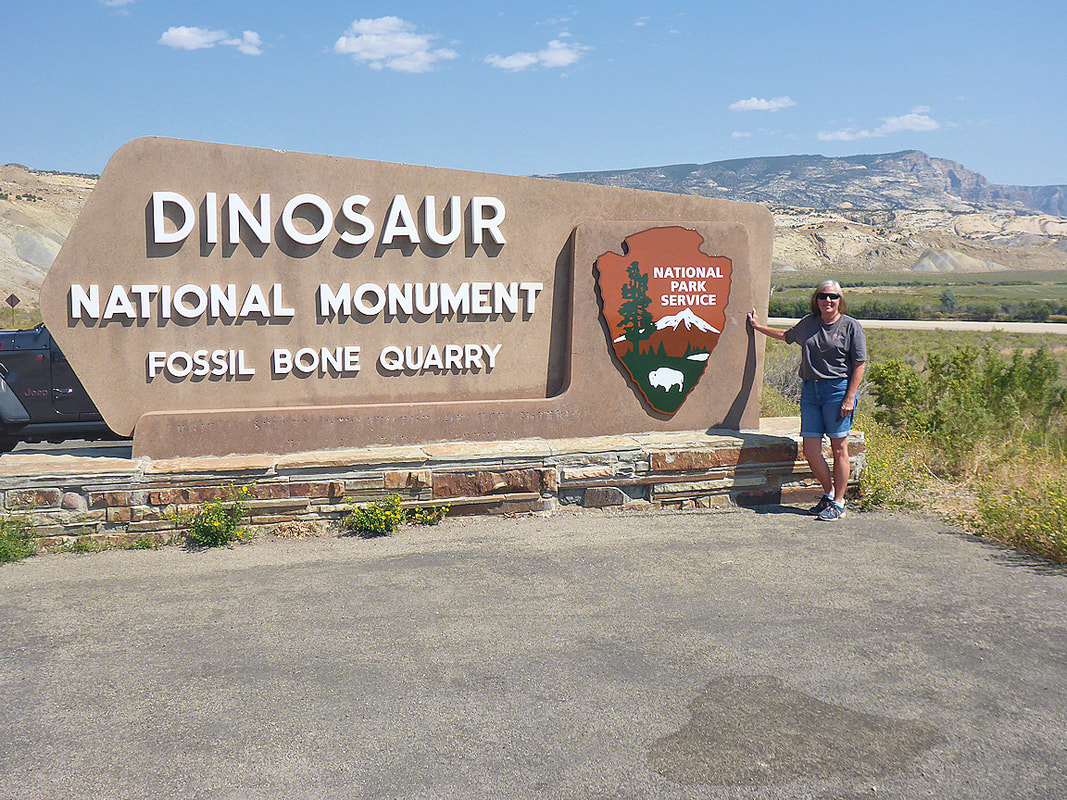
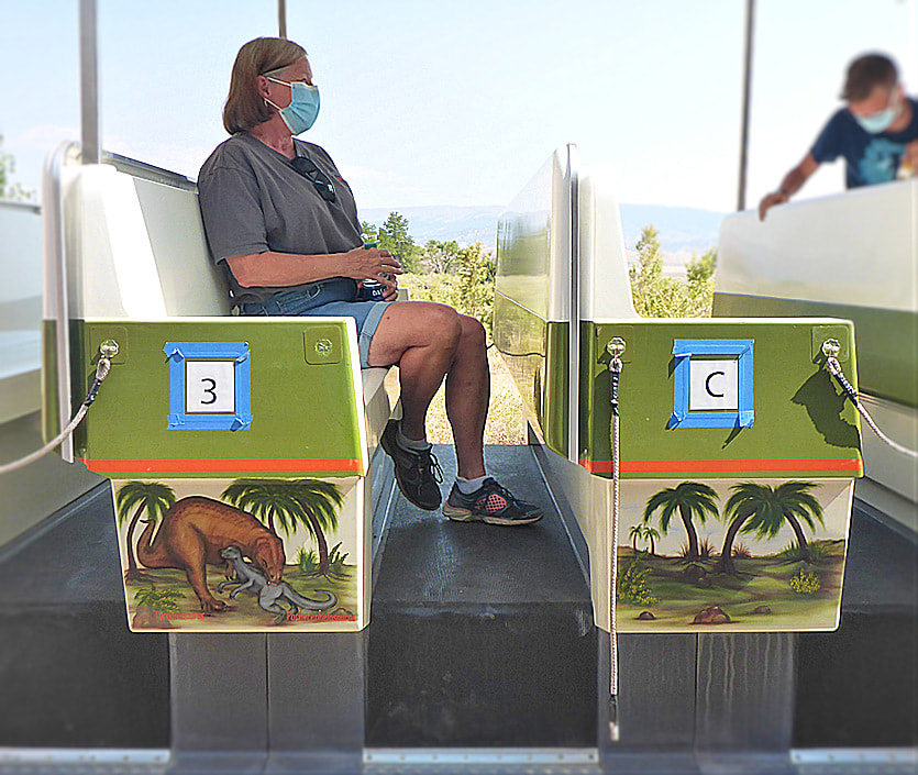
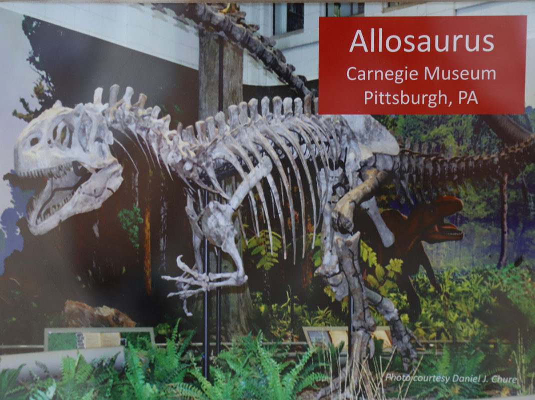
Dinosaur national monument
|
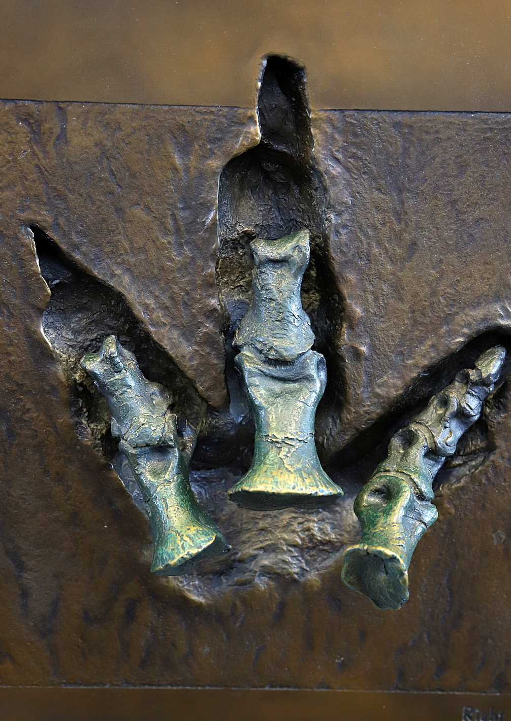
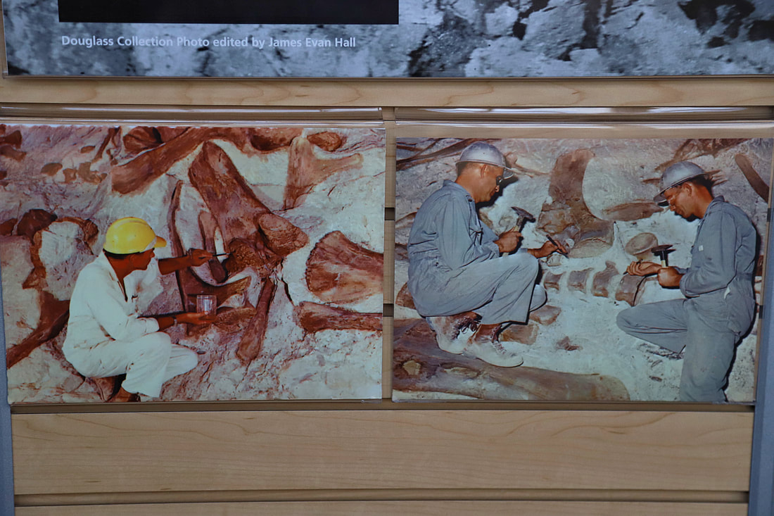
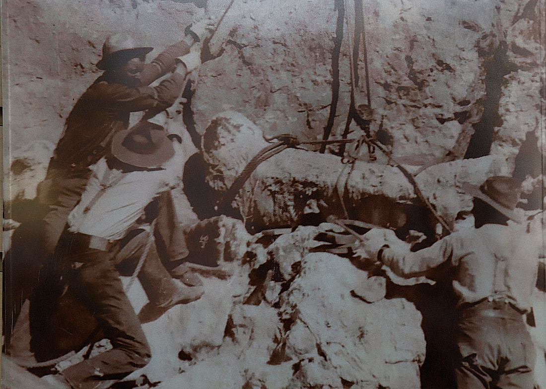
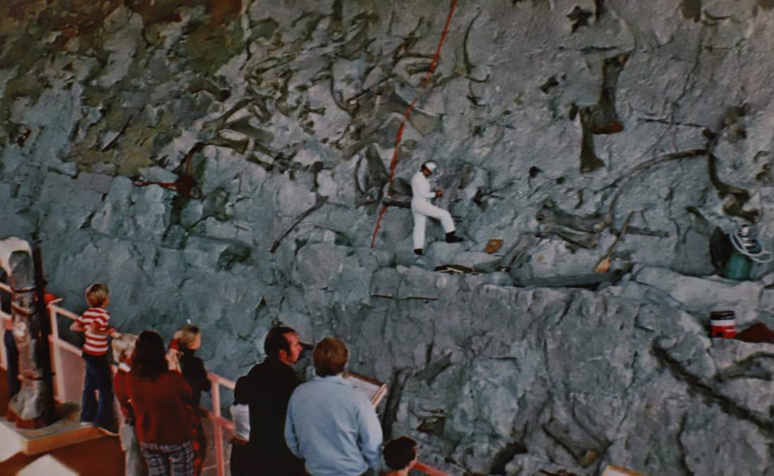
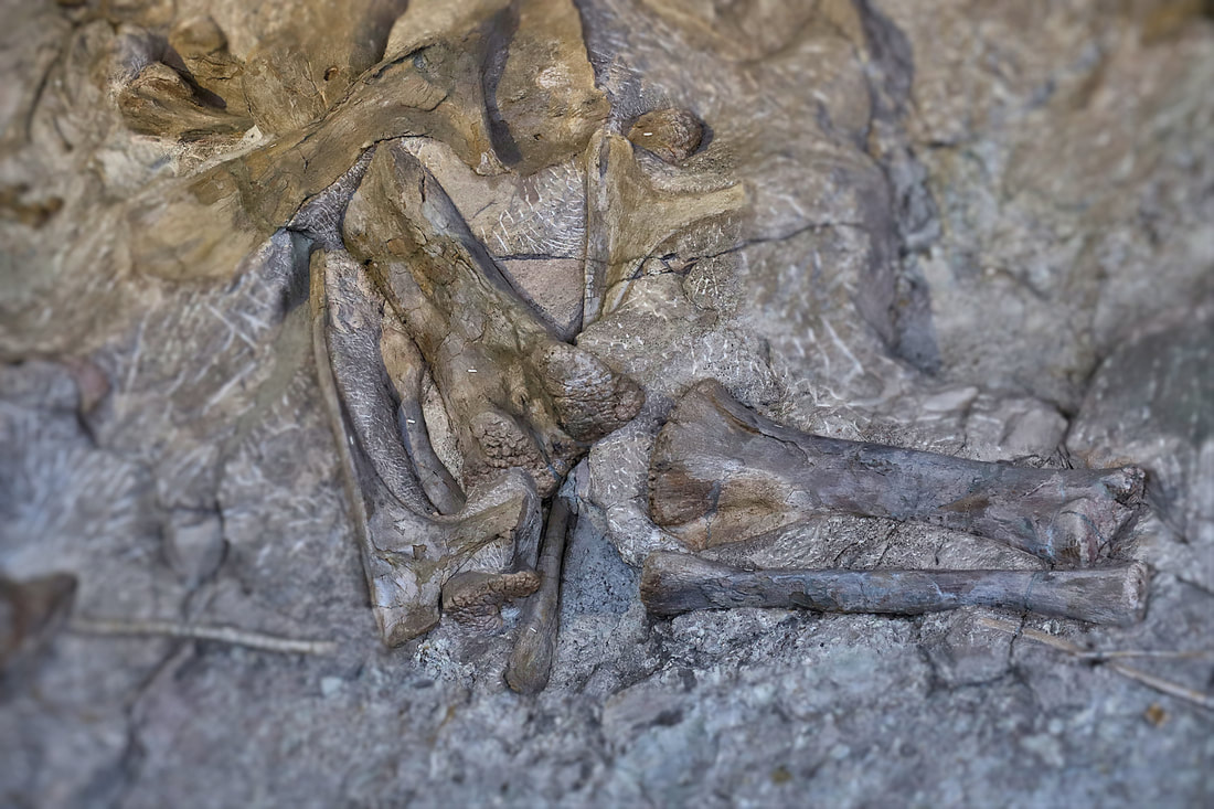
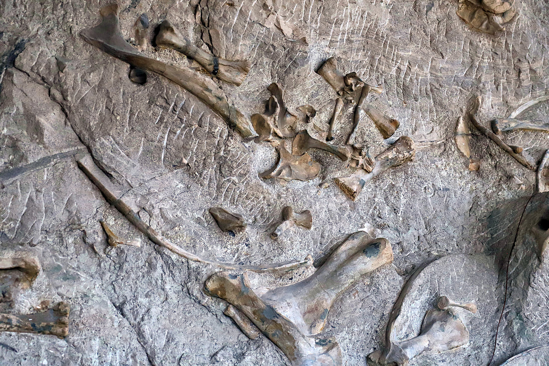
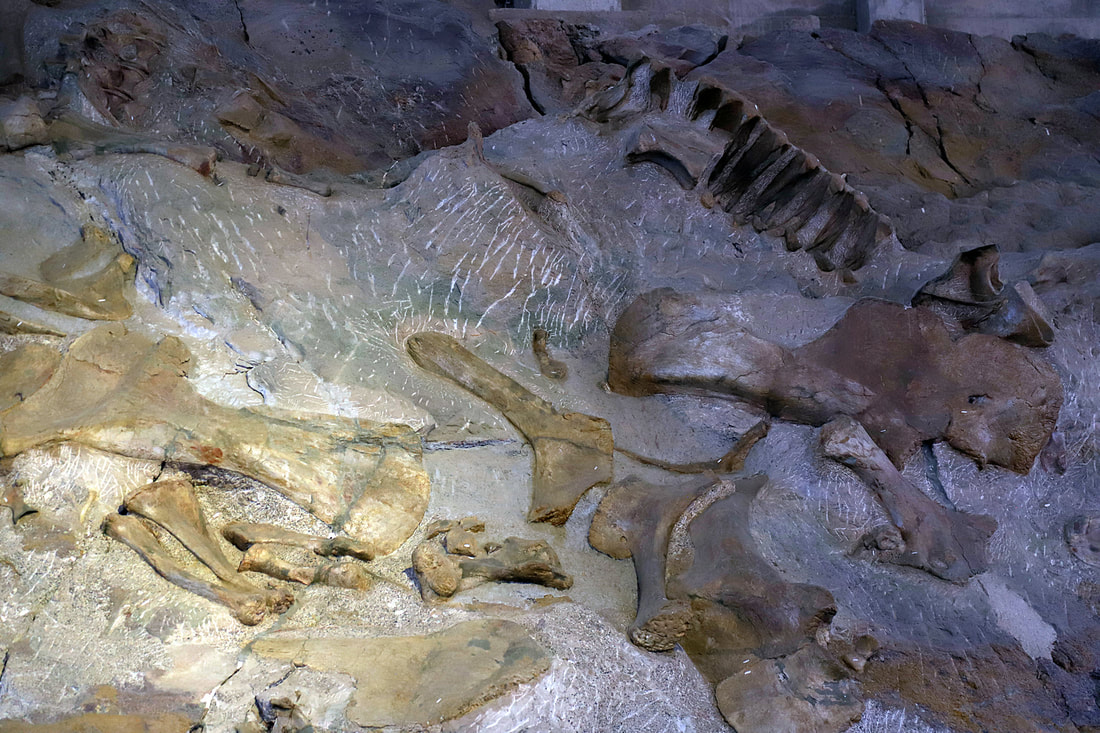
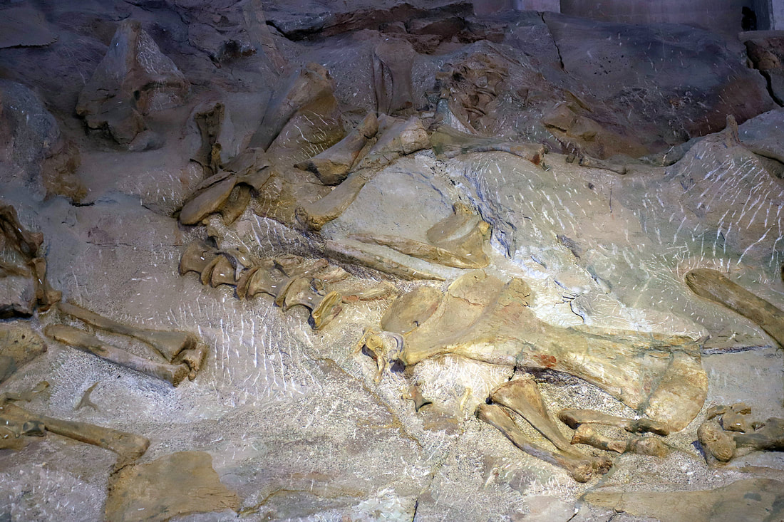
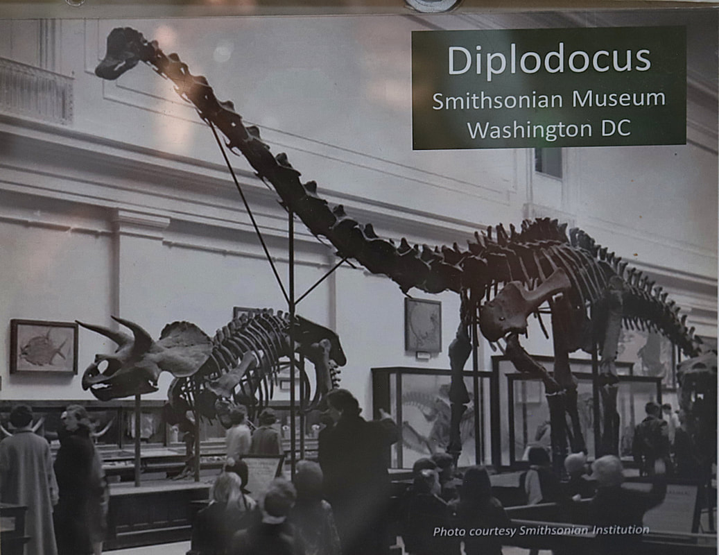
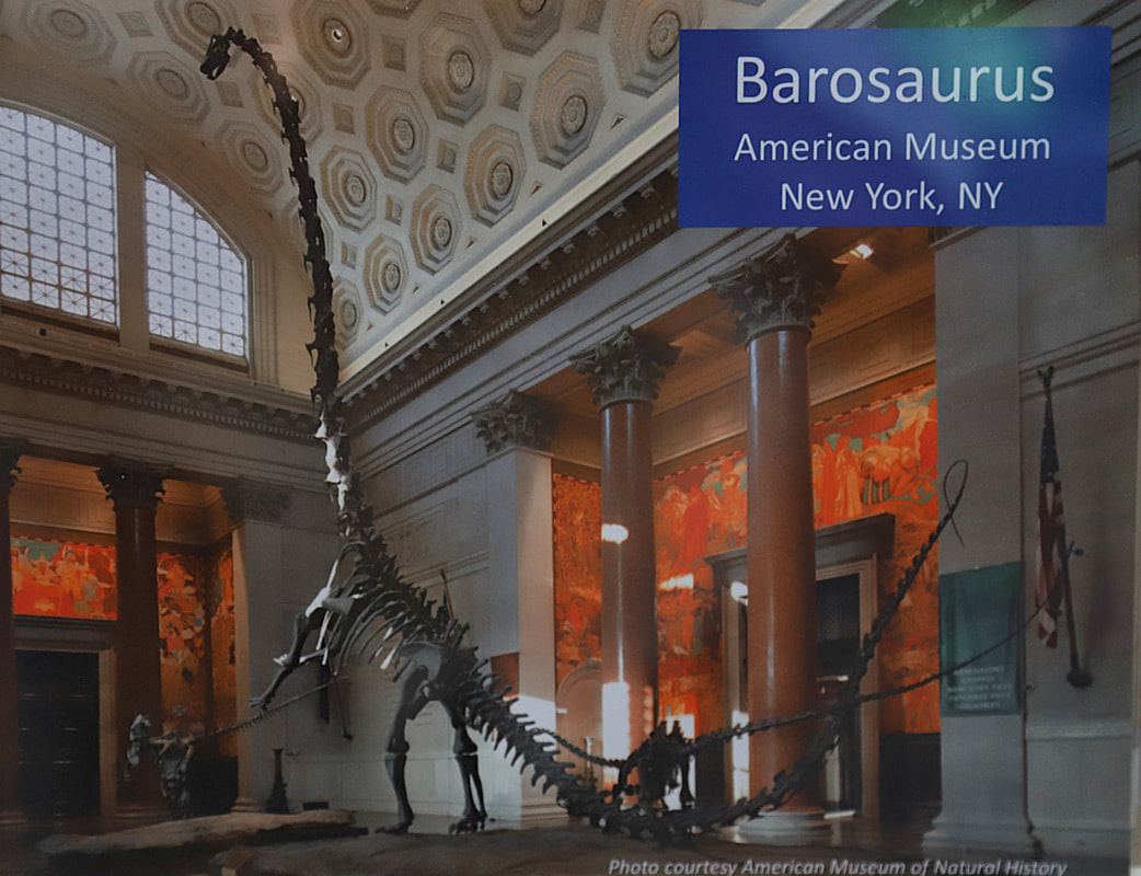
Scientist working on the wall at the quarry site in Dinosaur National Monument. Map
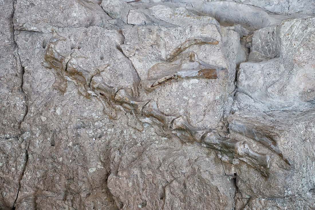
Actual fossils of dinosaur bones visible in the wall.
|
|

landscape in the dinosaur national monument
|
|


On the road in colorado 2019
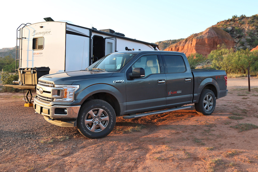
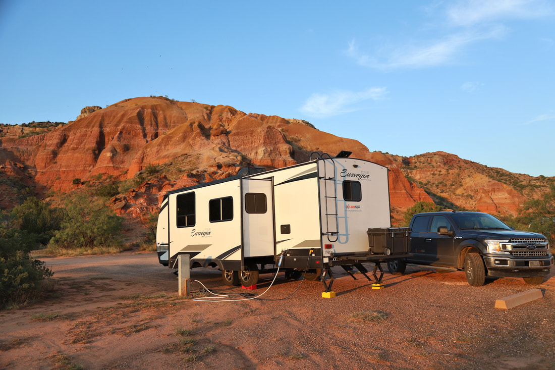
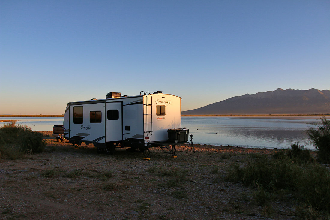
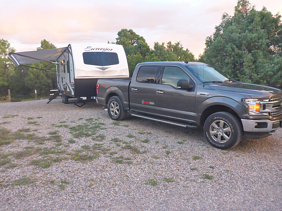
Our first trip in our new travel trailer took us to cooler temperatures in the beautiful state Colorado. We drove long days for 3 days to make it to the north side of New Mexico and our first cool days. We are traveling the country and showcasing interesting and beautiful places. When we decide to move and park our trailer, that is our home for a short time. I am a photographer and my goal is to share images that capture my eye and may one day be a place you would visit some day. We like the adventure of new places and want to explore places we have never seen. For now, Colorado is our "Neck of the Woods" and below are images and videos that we experienced along the way.
adventure and explore
Highlights and images of place we explored and adventures we pursued on our trip in Colorado.
|
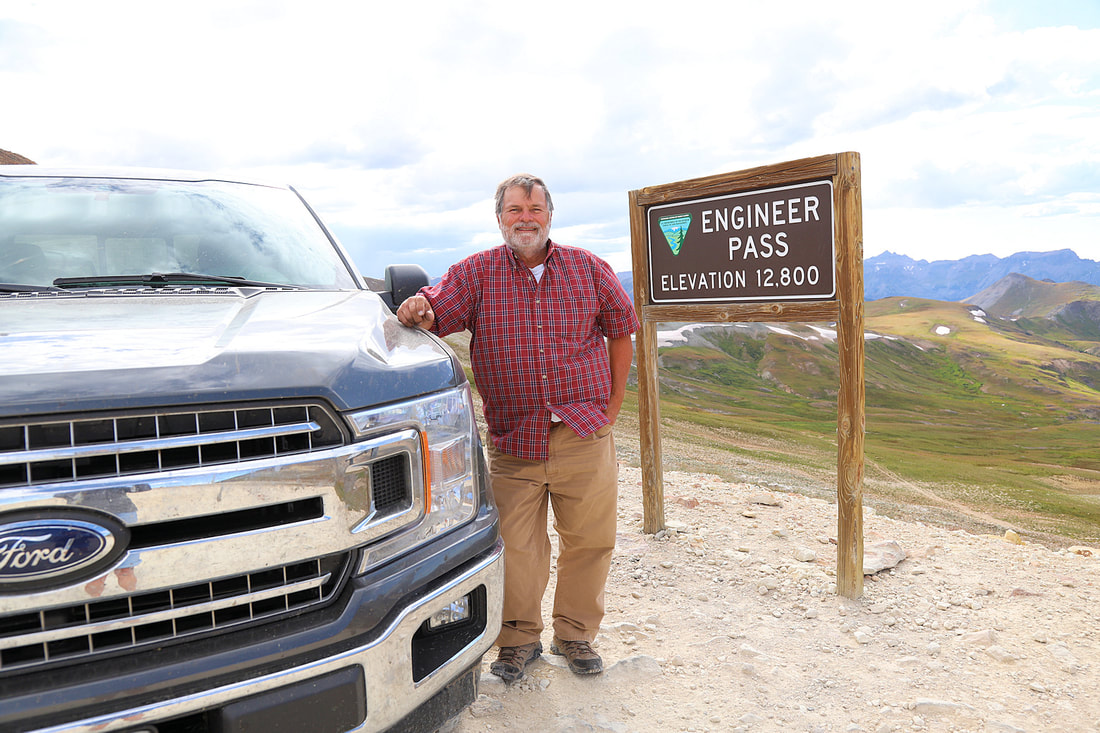
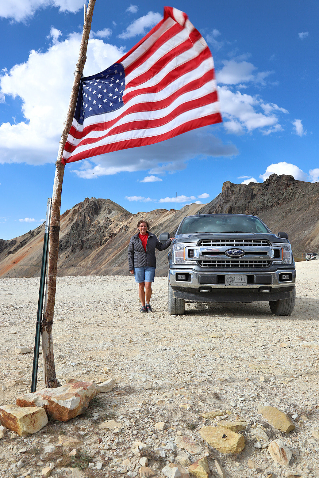
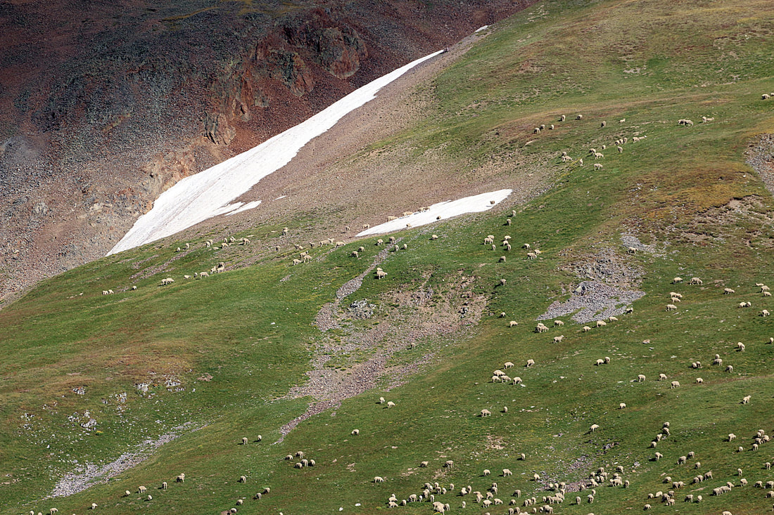
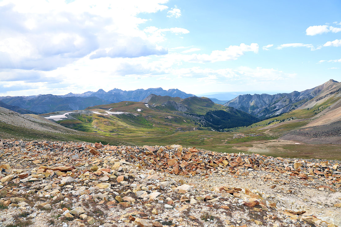
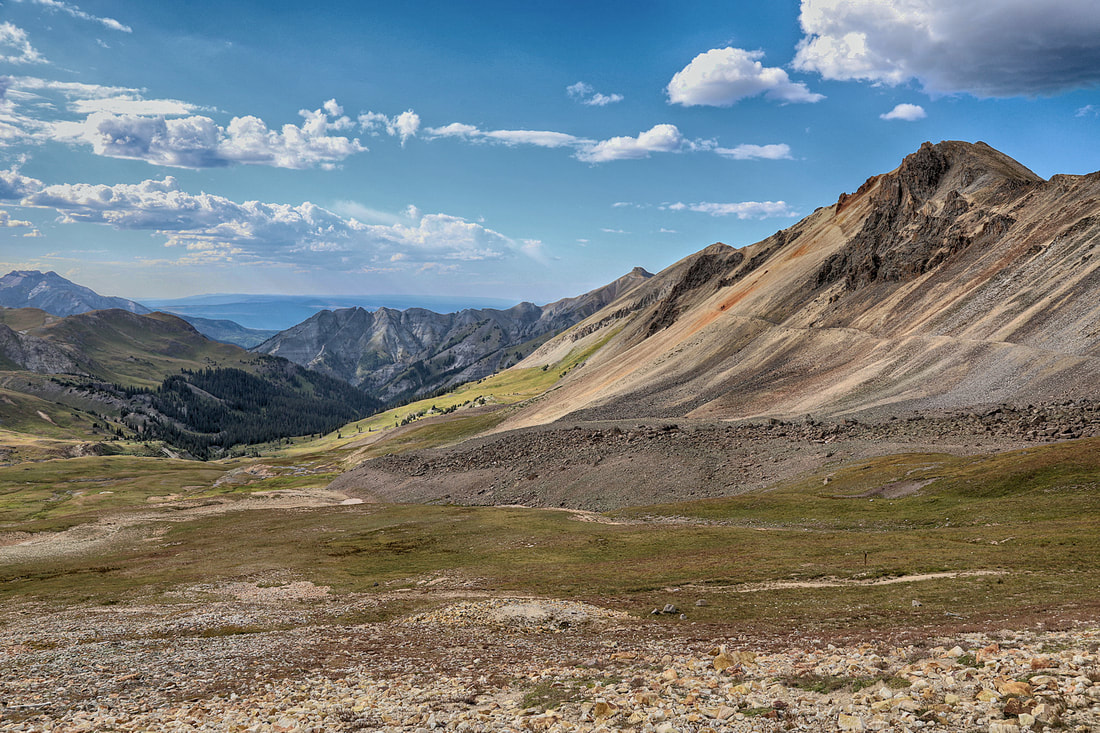
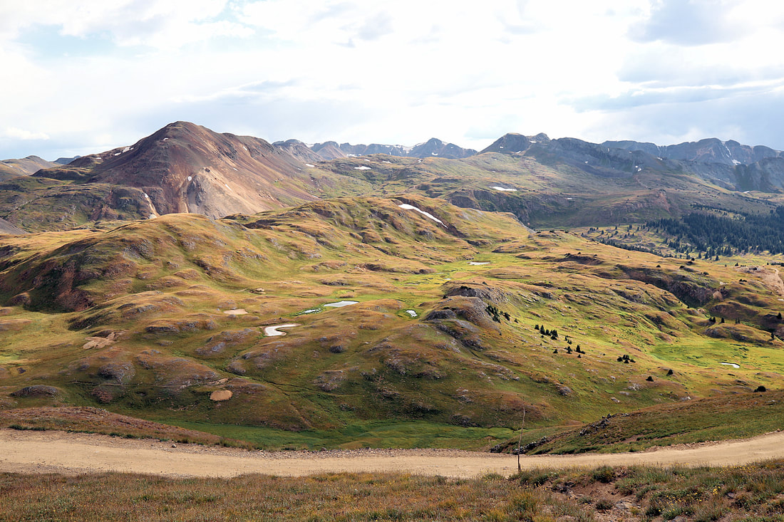
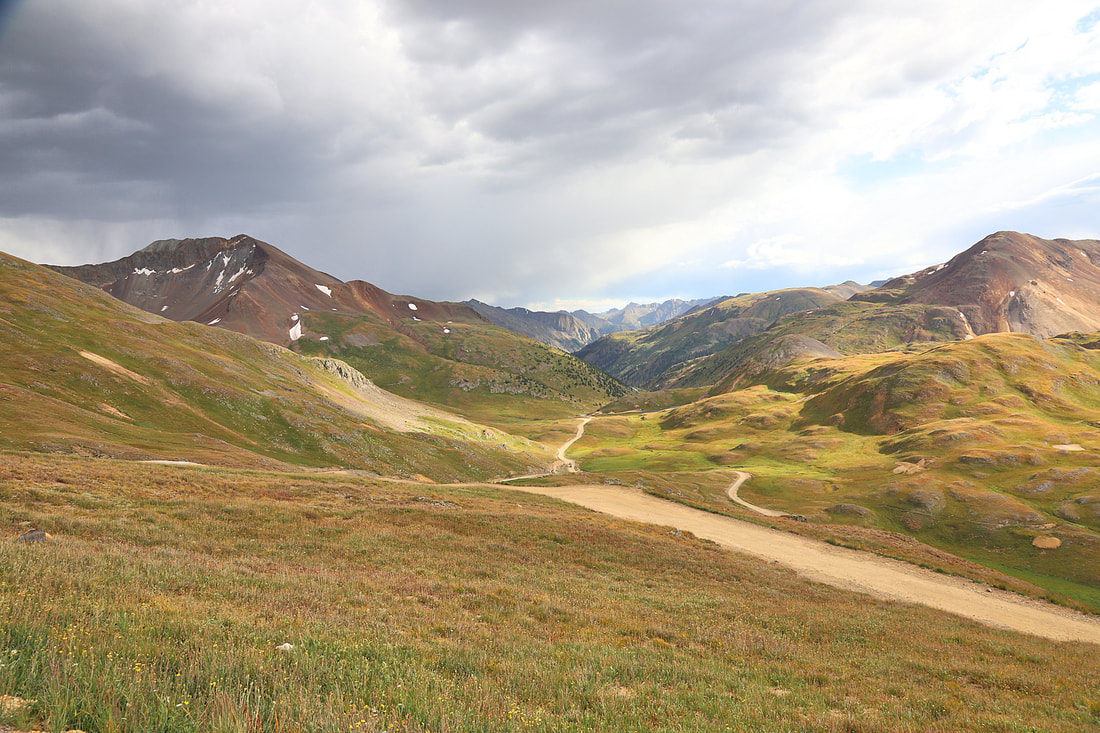
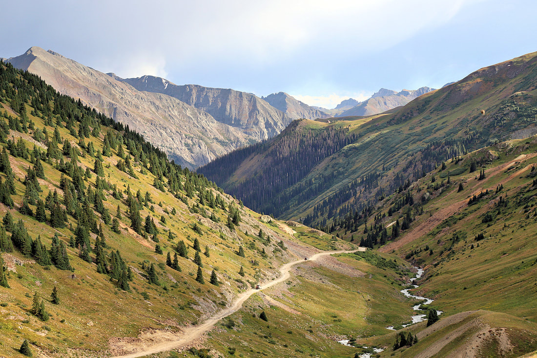
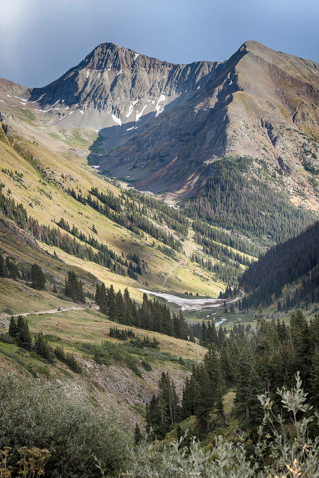
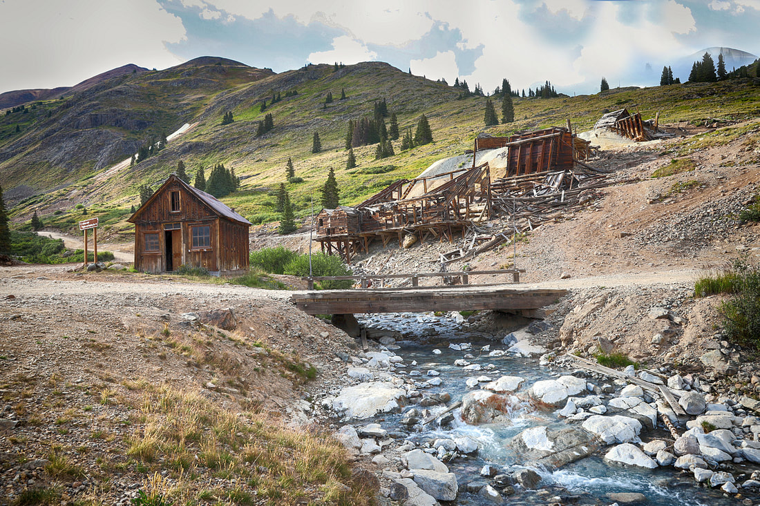
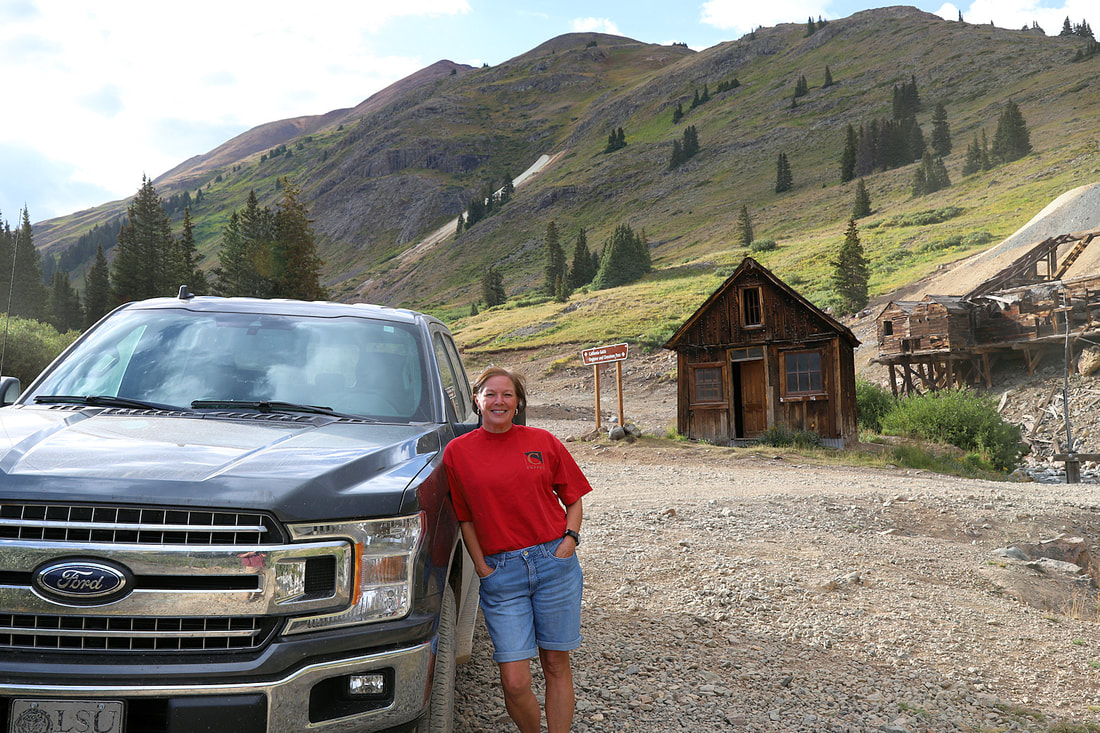
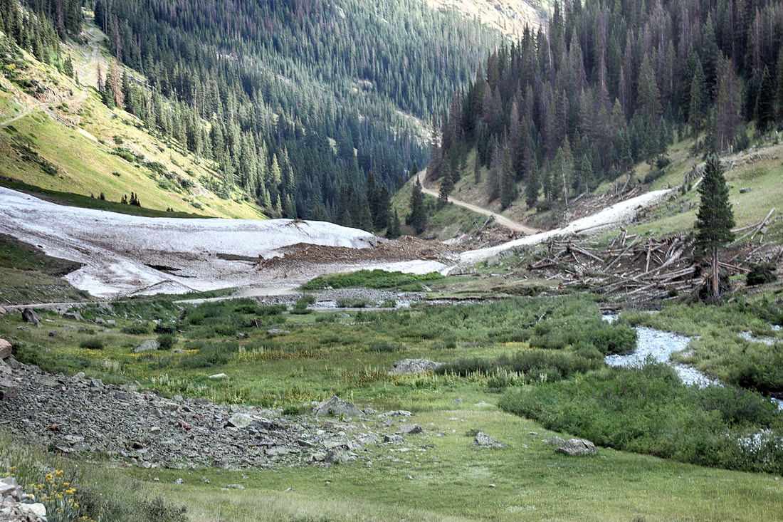
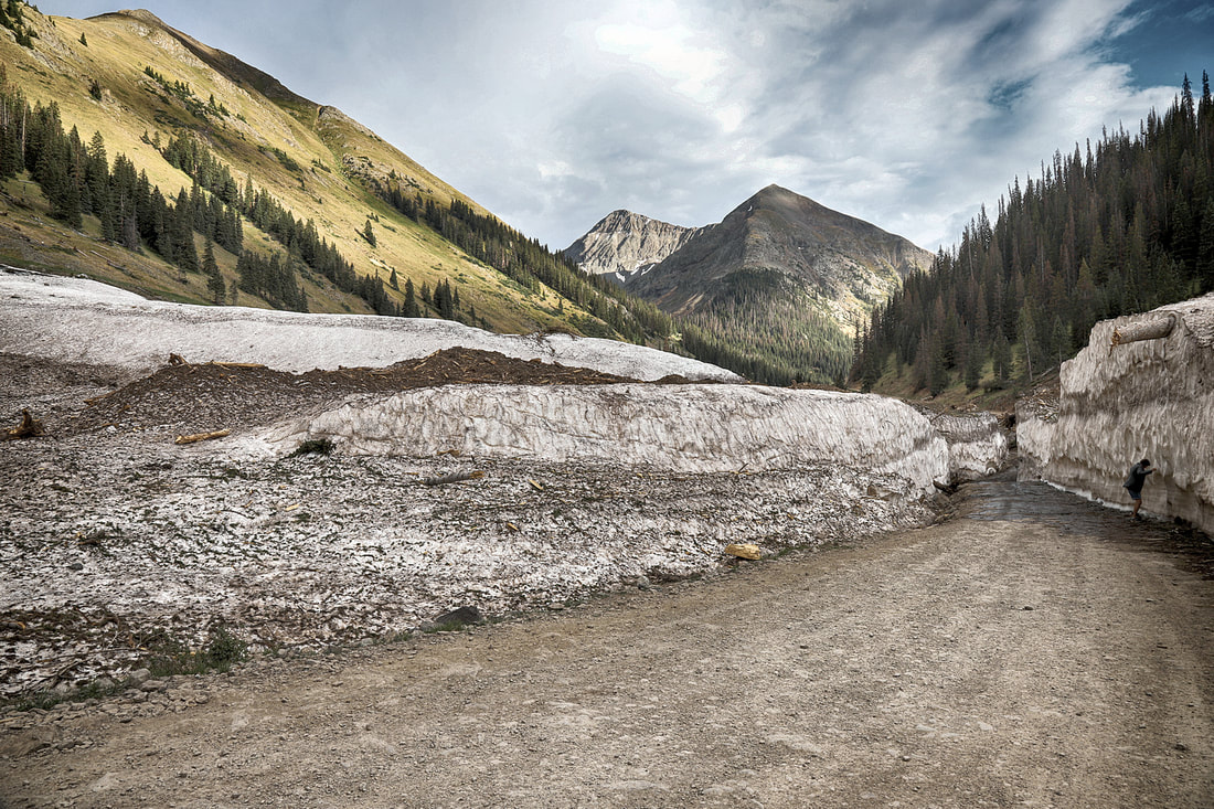
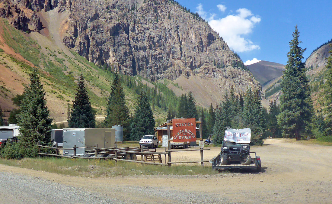
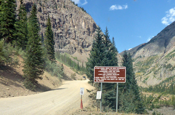
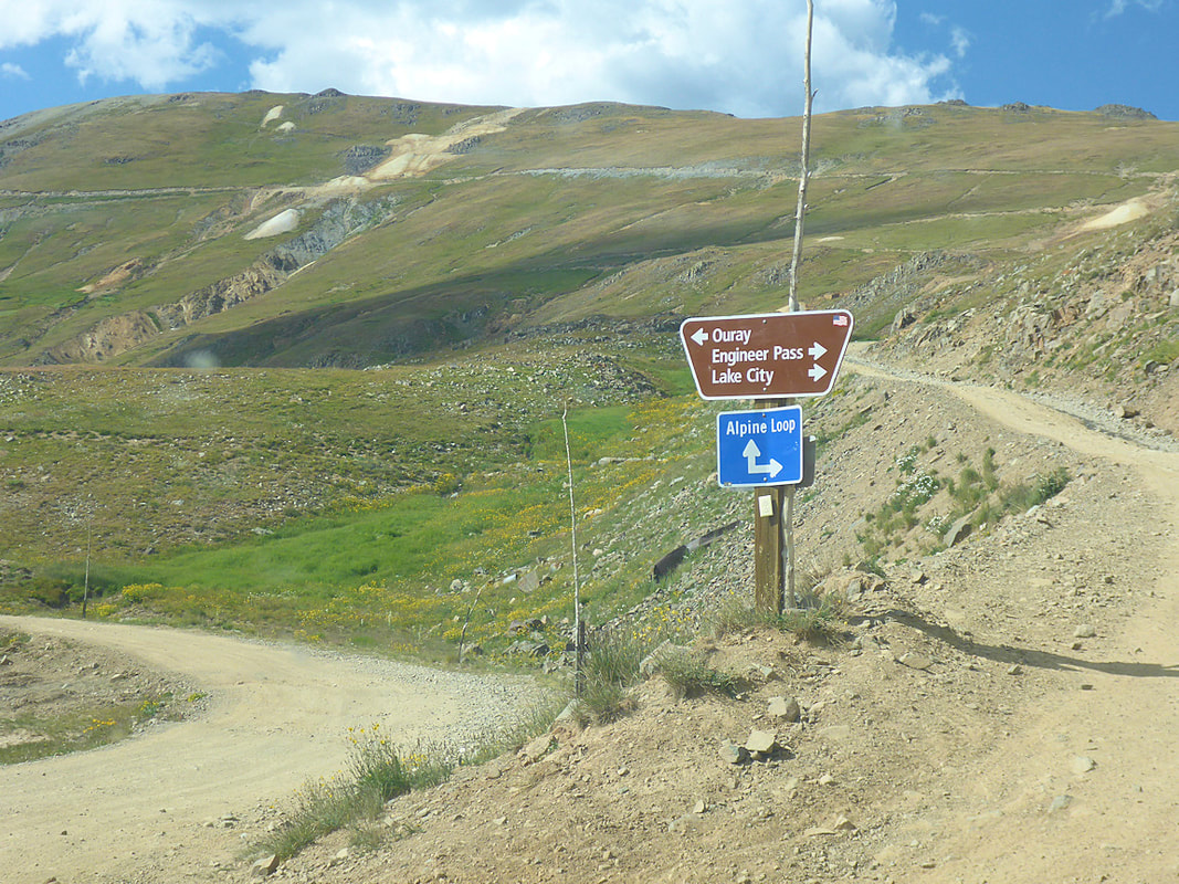
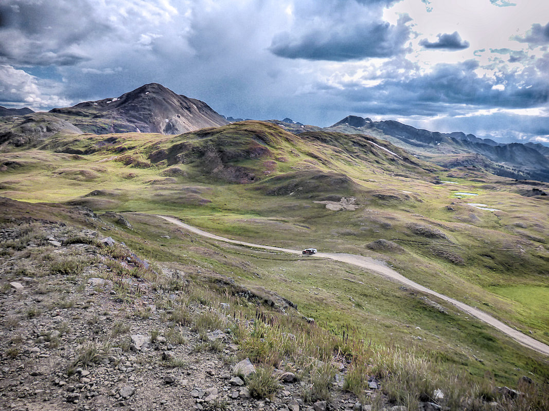
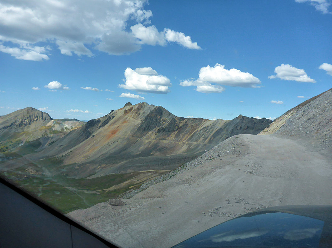
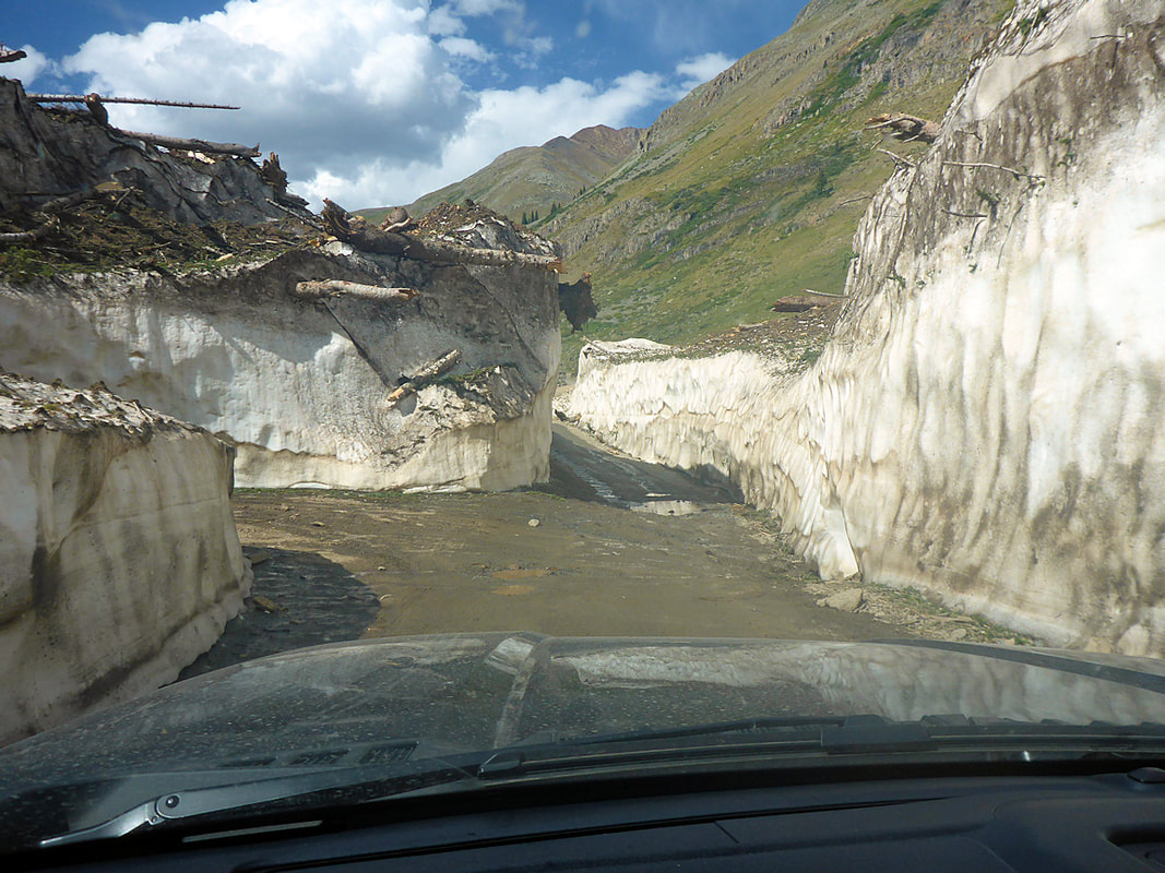
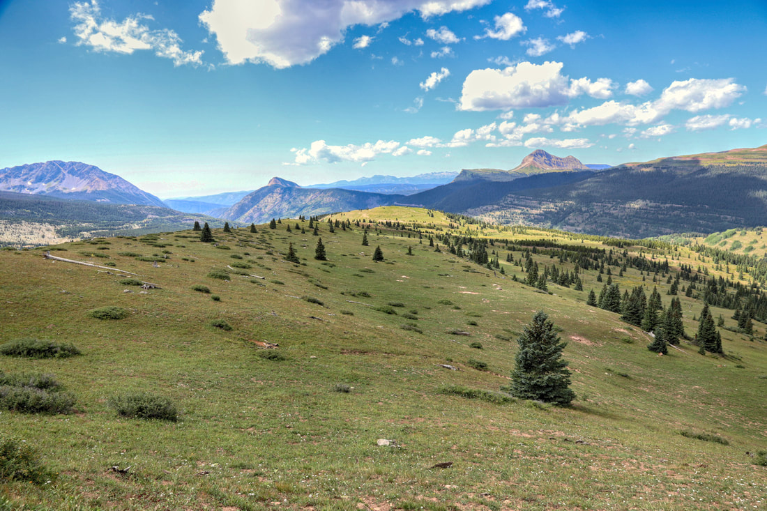
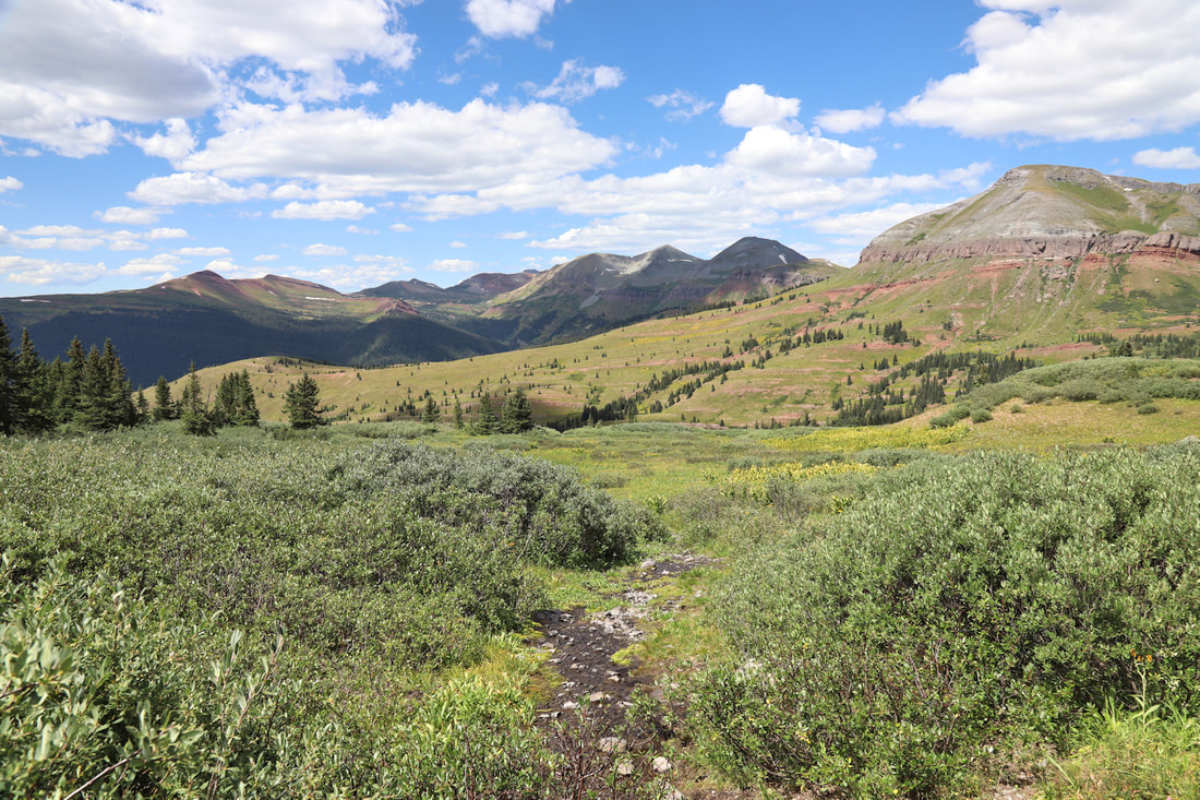
ENGINEER PASS
Silverton, CO This area has many off road trails for high clearance and 4x4 vehicles. Many require special equipment and tires and difficulty should be known before driving. The Engineer Pass is reached a couple ways from Silverton and Lake City. We chose the Silverton because we told it was less difficult. It is very stressful especially on the narrow inclined parts of the road. |
|


|
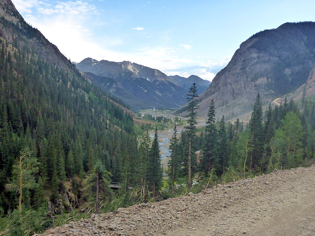
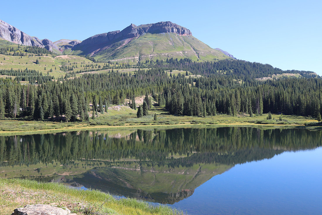
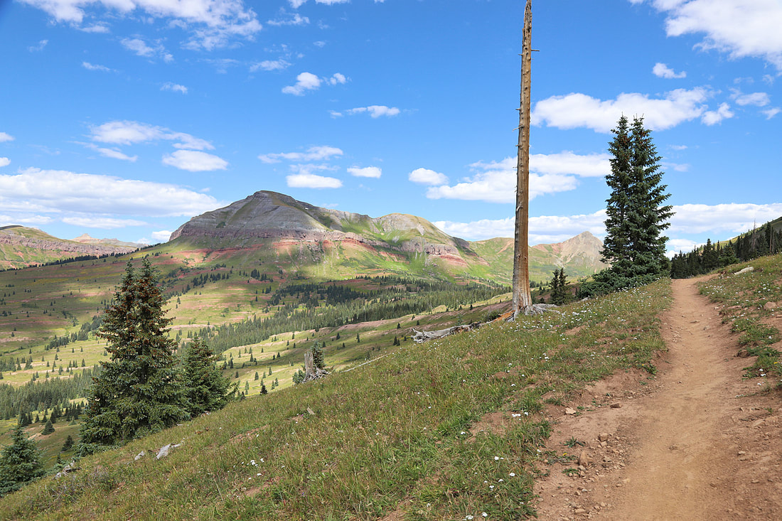
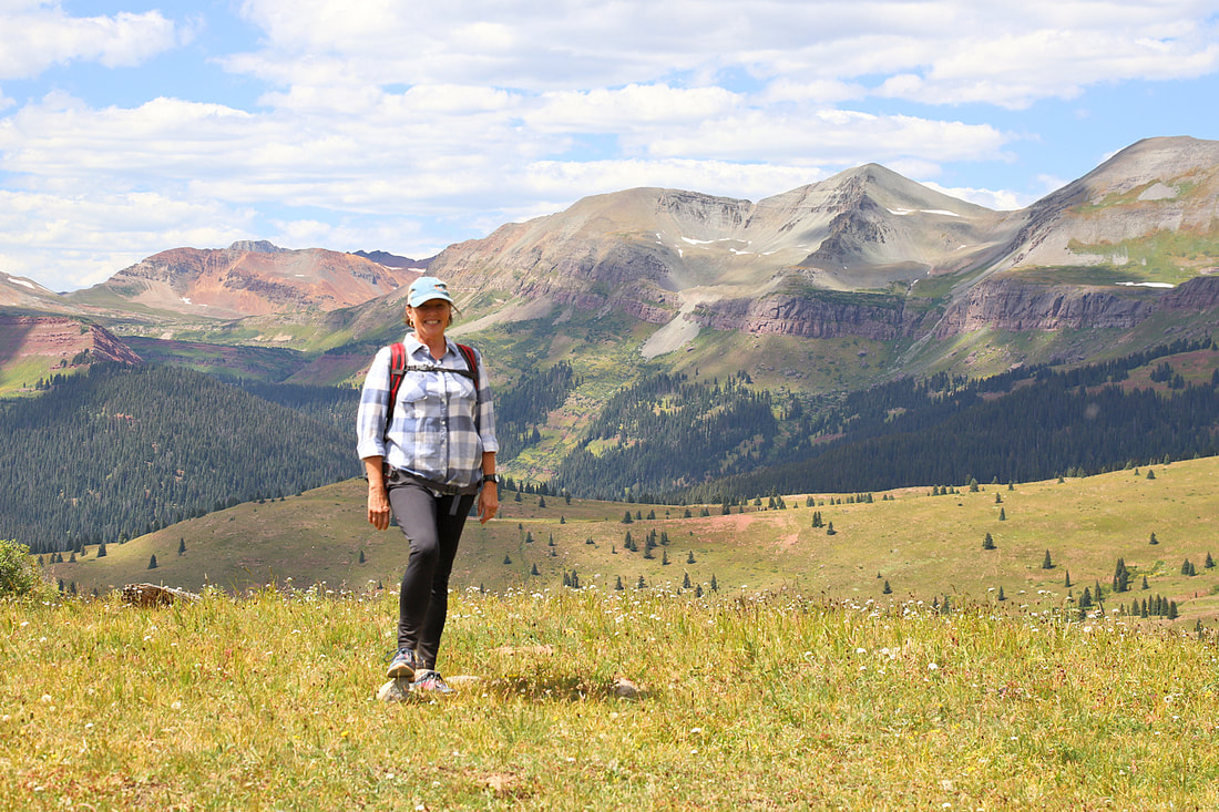
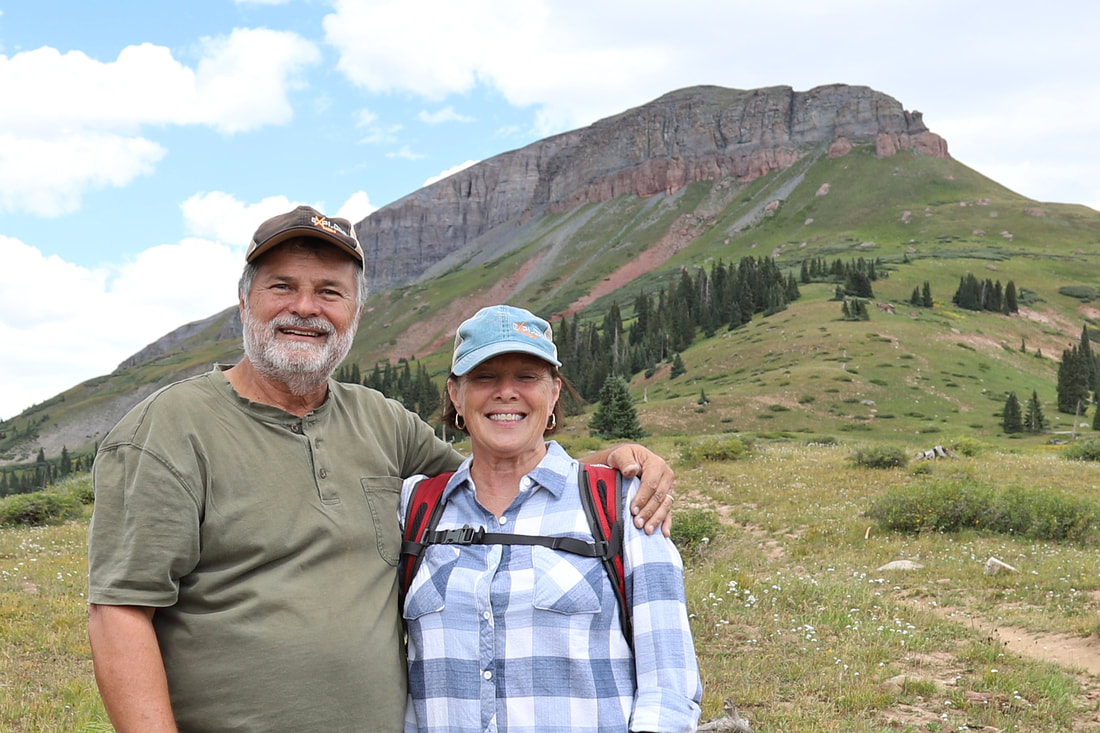
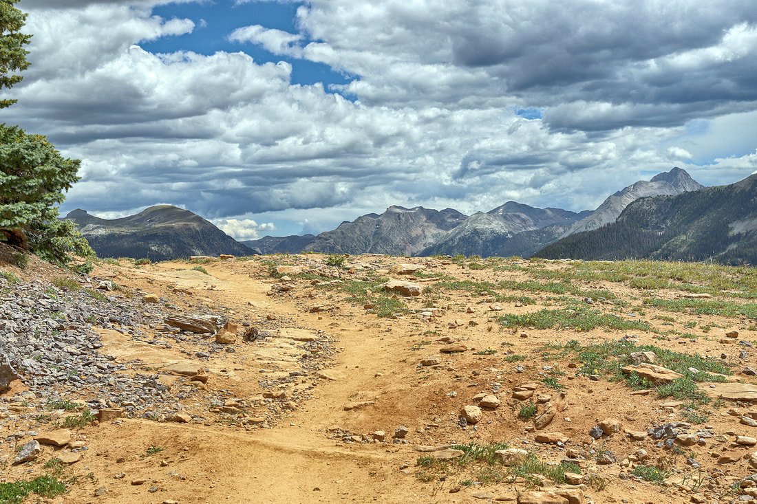
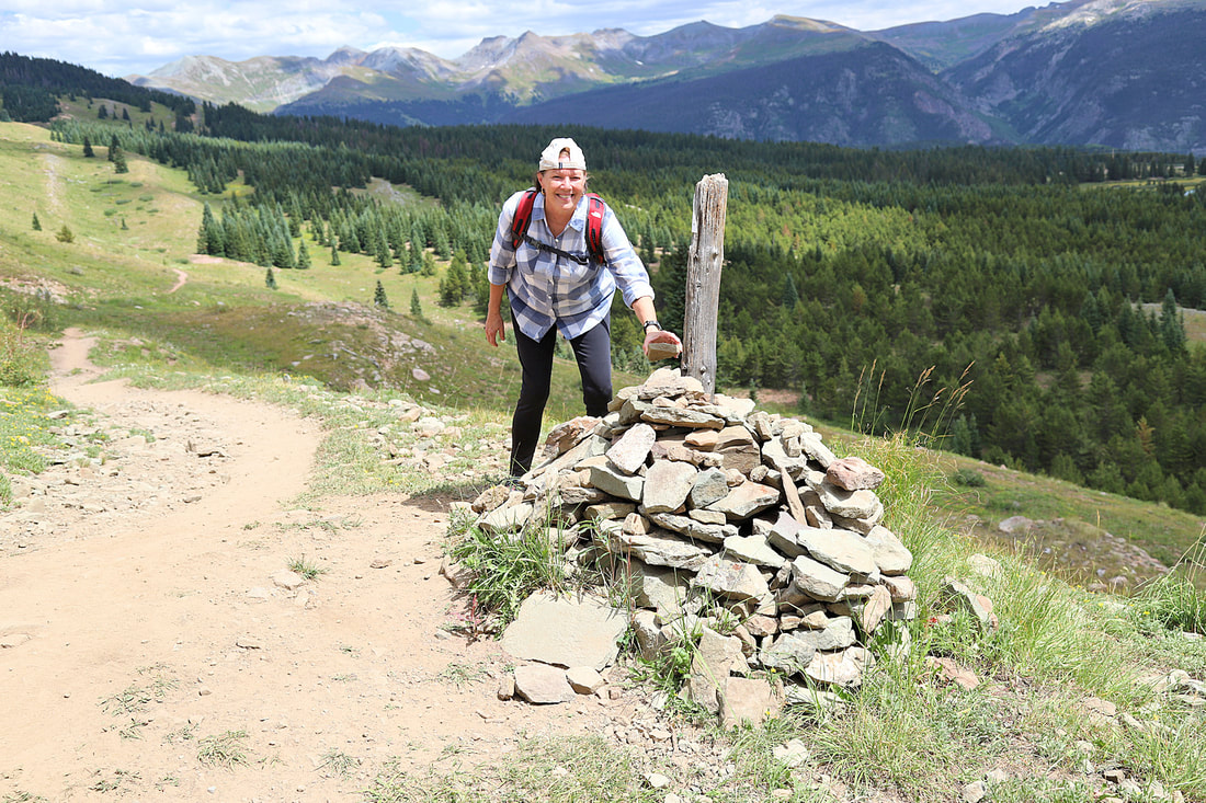
COLORADO TRAIL
Little Molas Lake We camped at Little Molas Lake Campground which is a first come first serve campground for RV's and tent campers. The Colorado Trail has a parking lot here to jump on the trail. The lake is about 7 miles south of Silverton, CO off Hwy 550. |
|


|
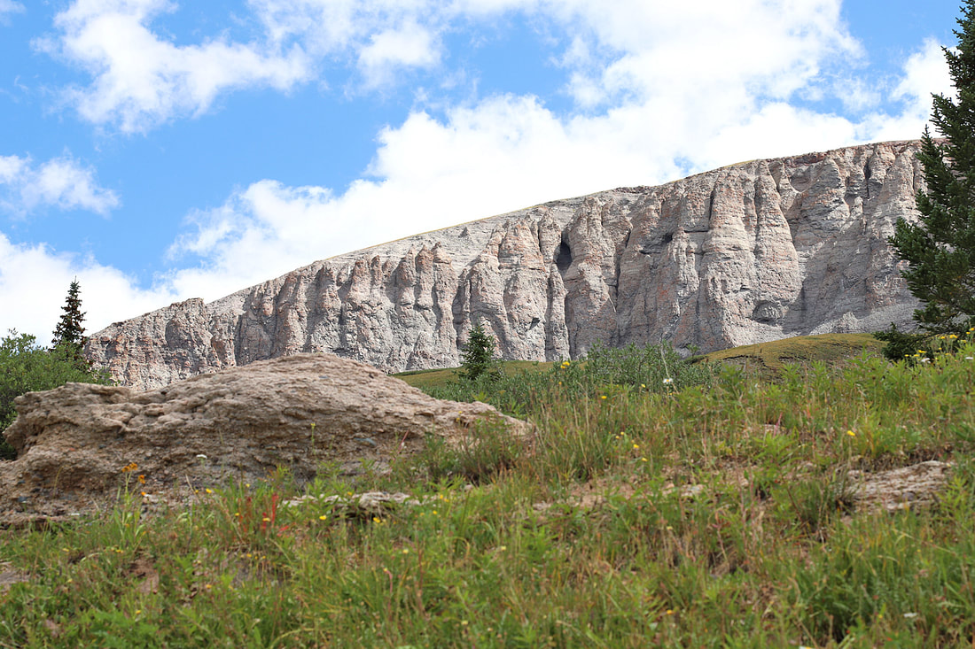
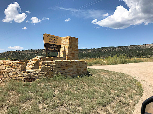
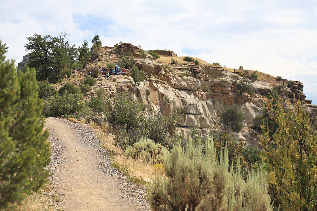
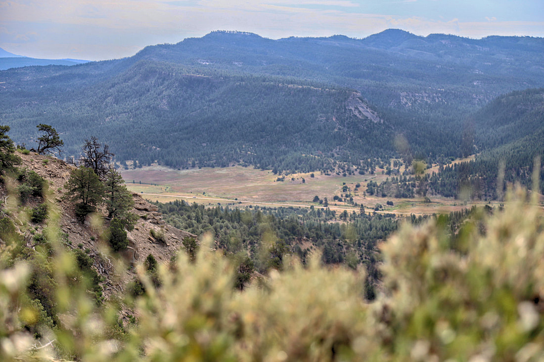
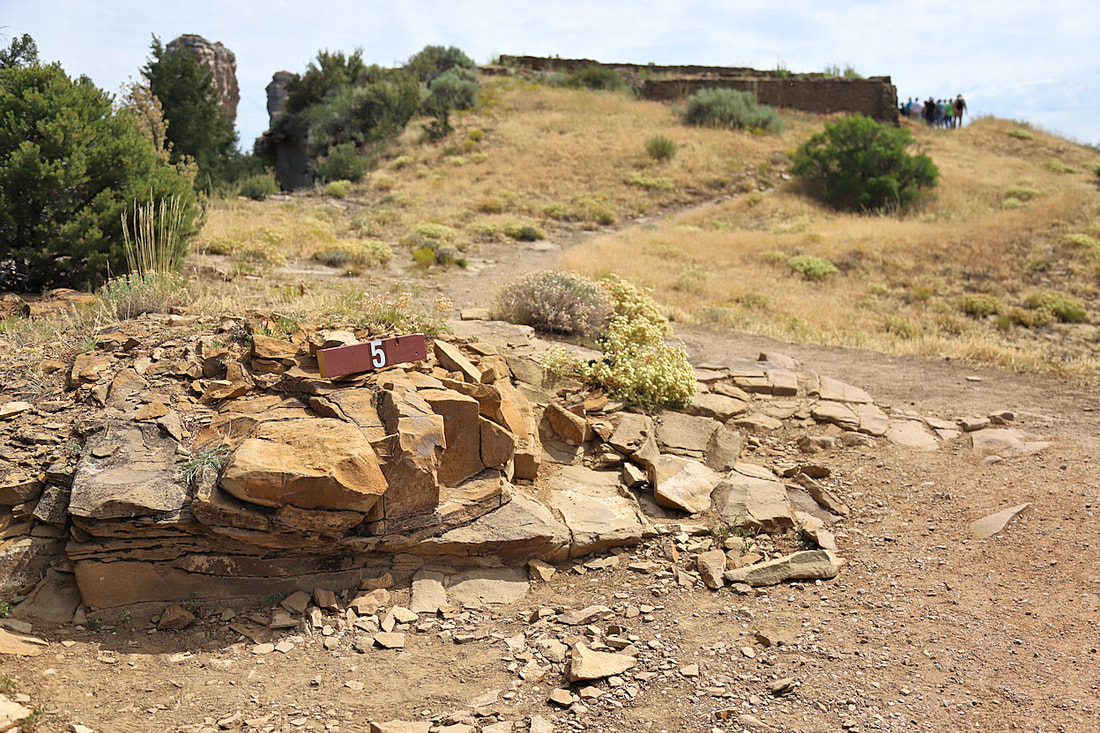
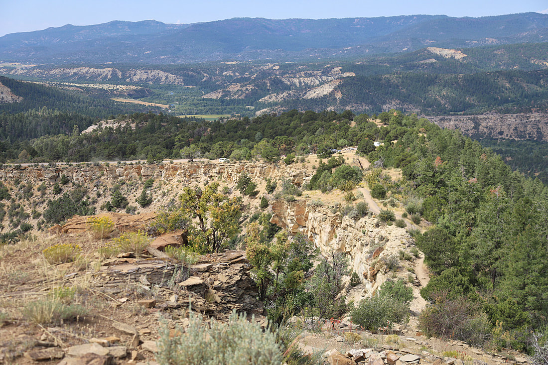
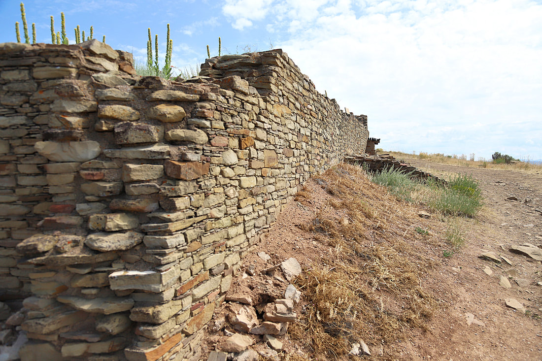
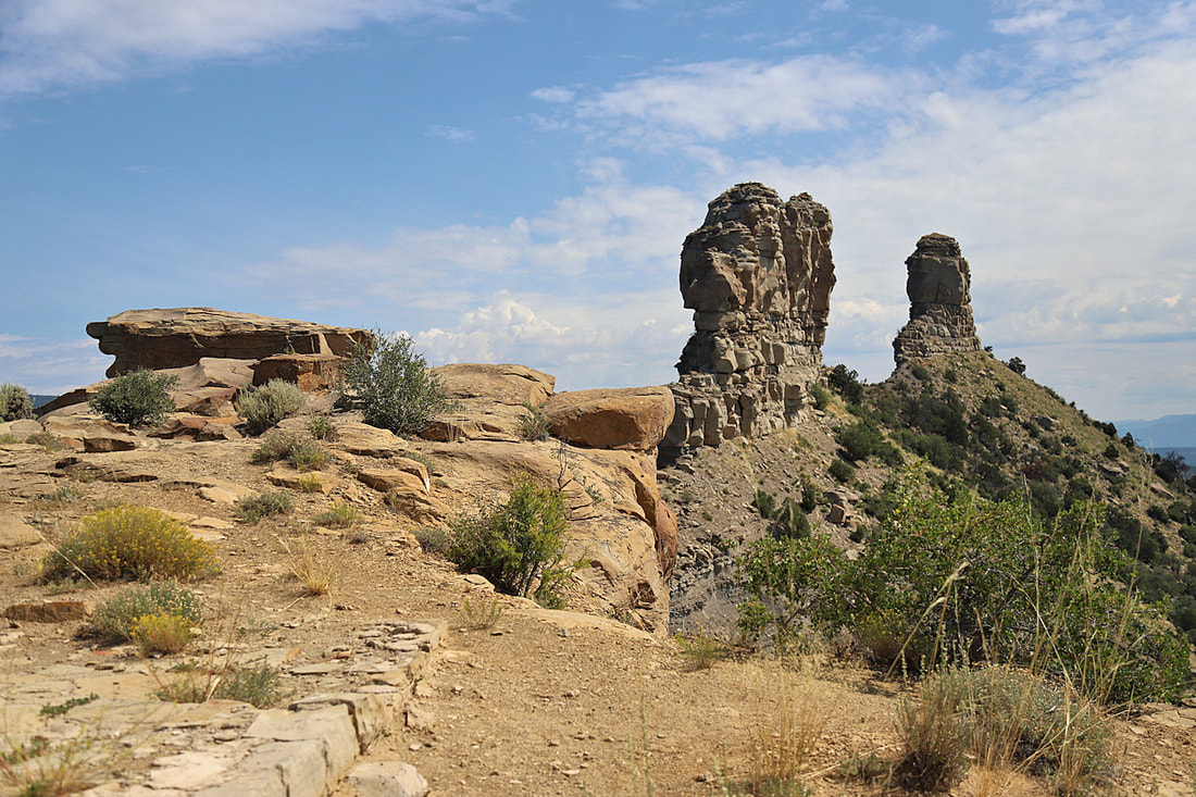
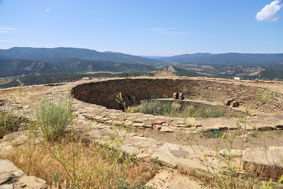
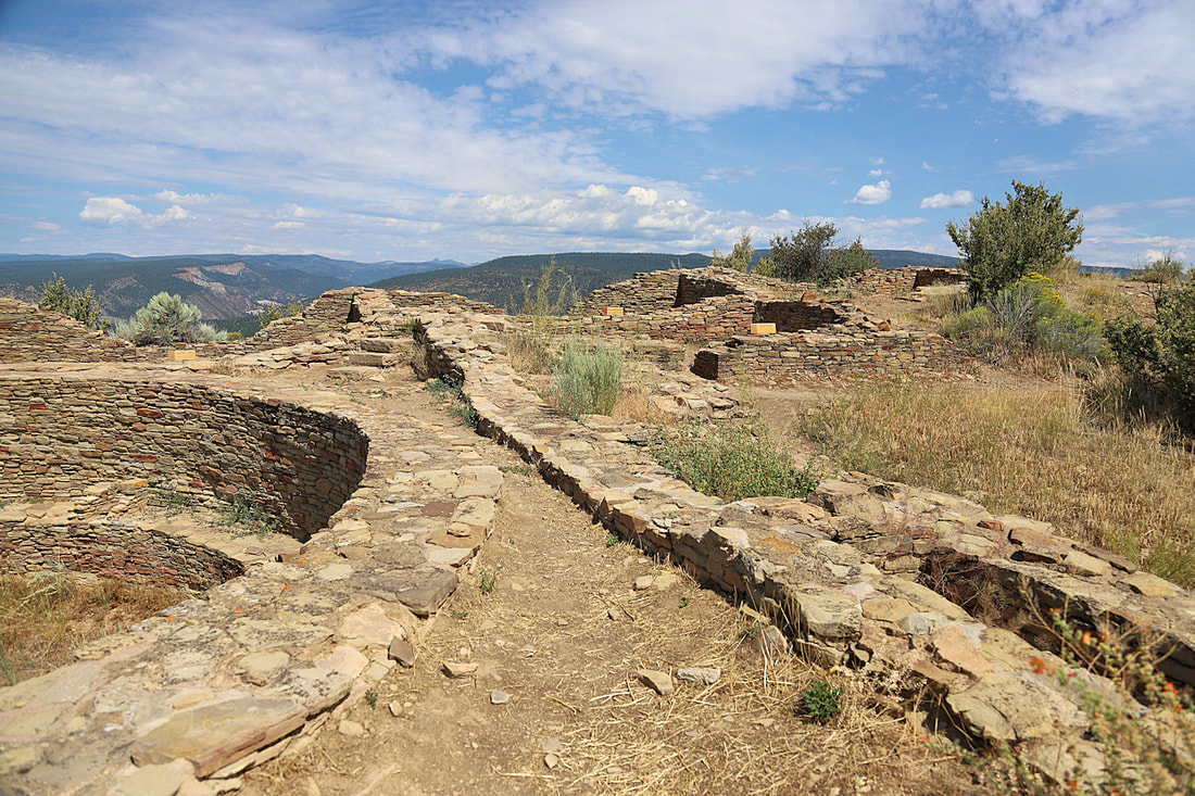
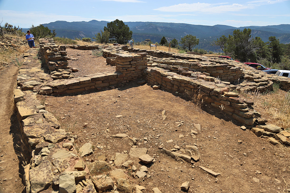
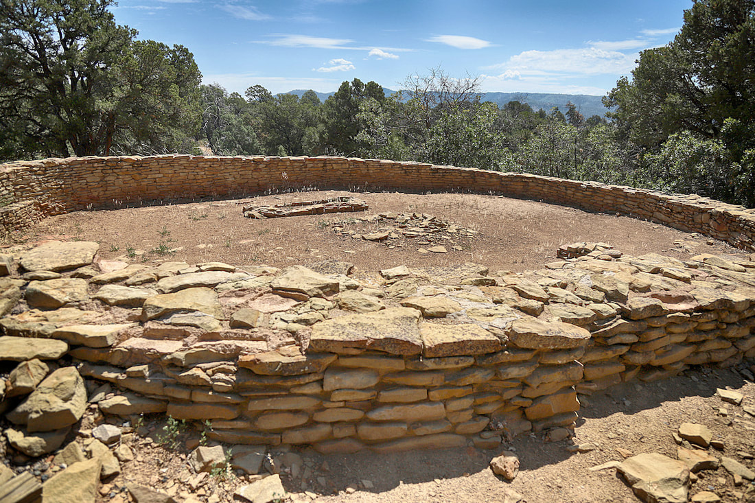
CHIMNEY ROCK NATIONAL MONUMENT
East of Pagosa Springs, CO We drove here from our campsite at Vallecito Lake. It was a short hike to the top and very interesting to learn about the Pueblo-Chaco people that lived here. Map |
|


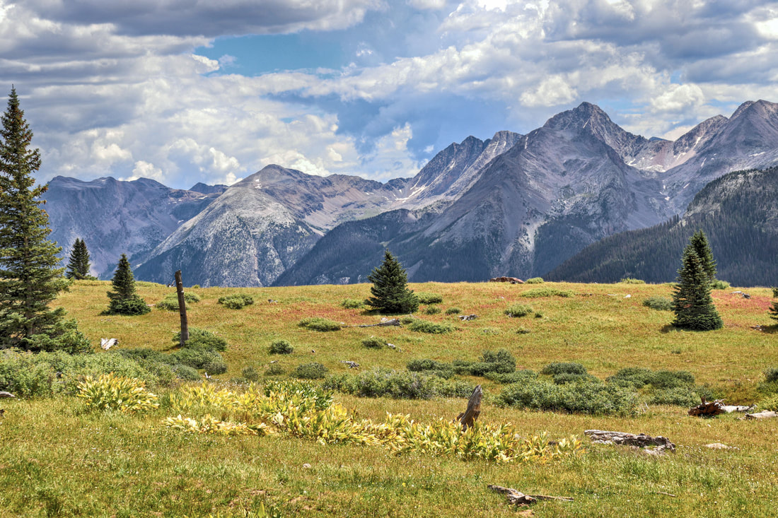
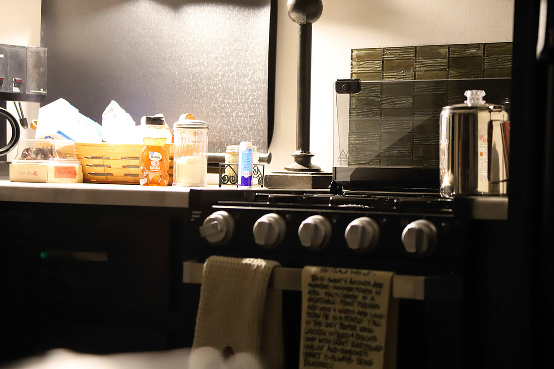
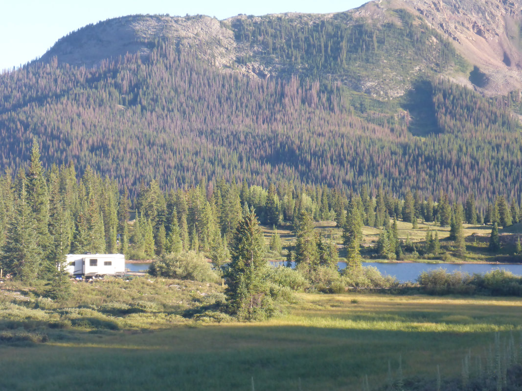
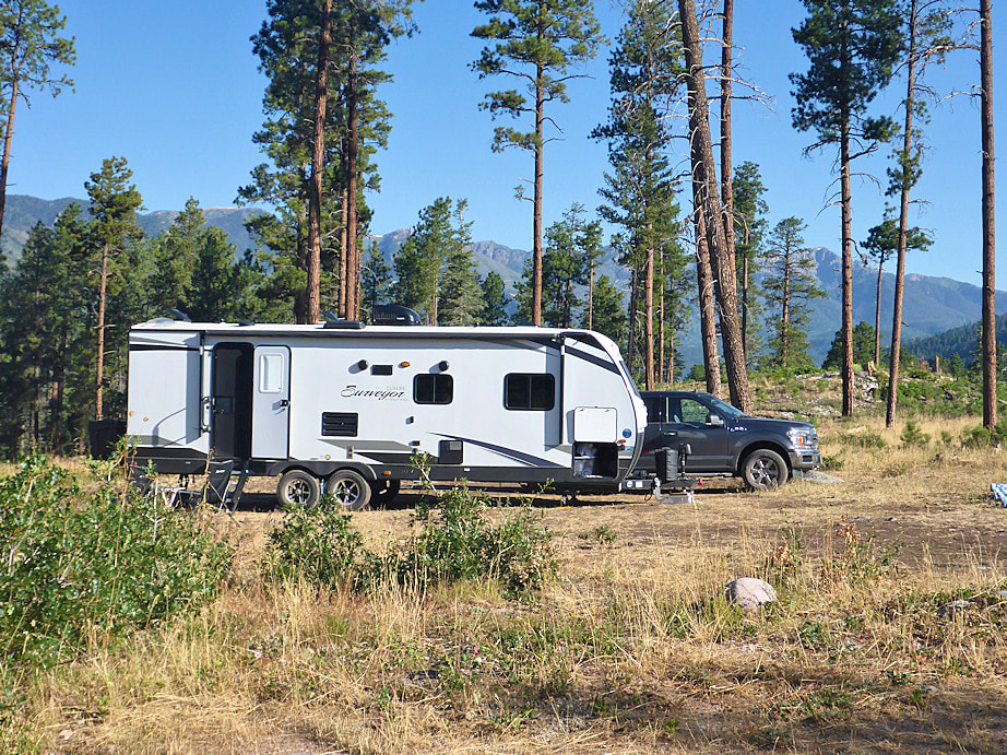
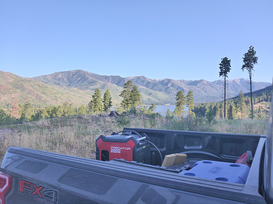
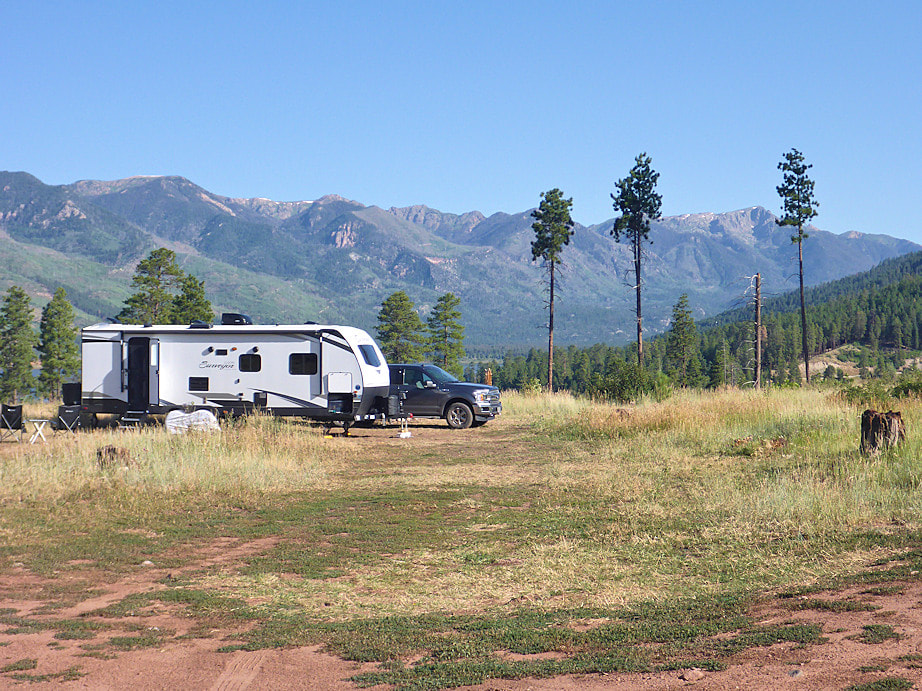
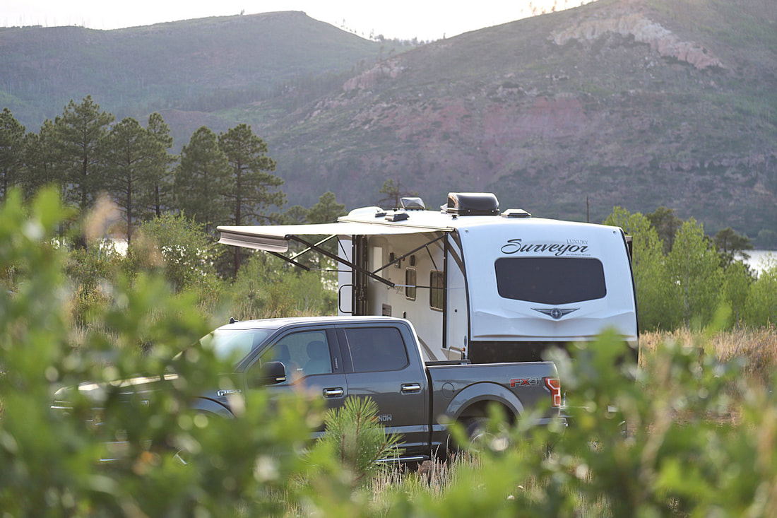
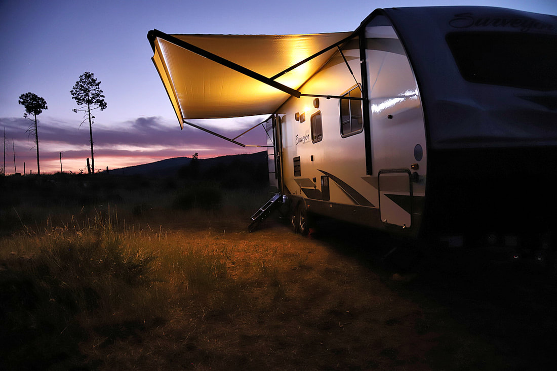
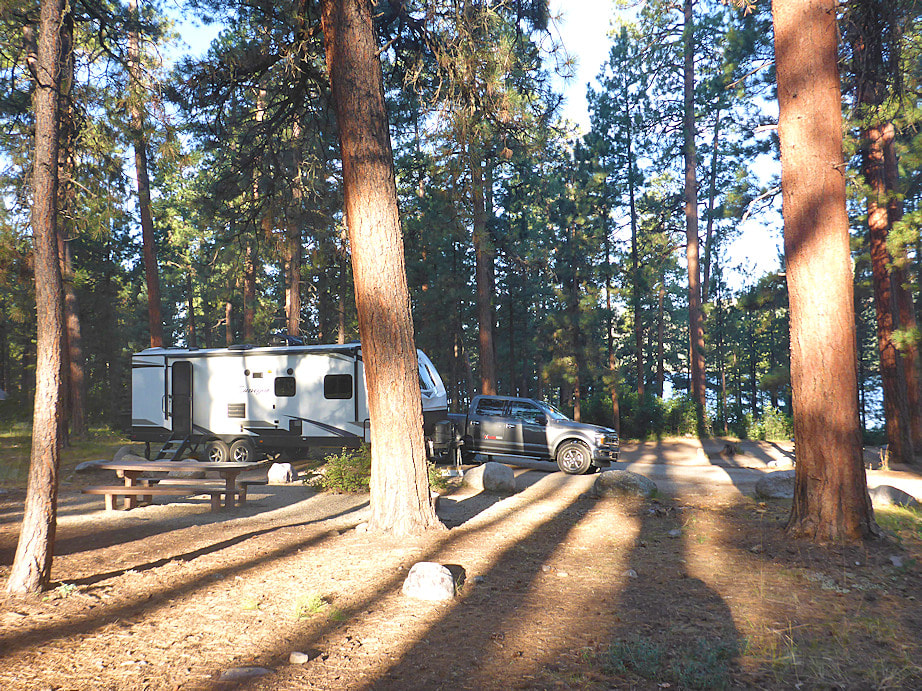
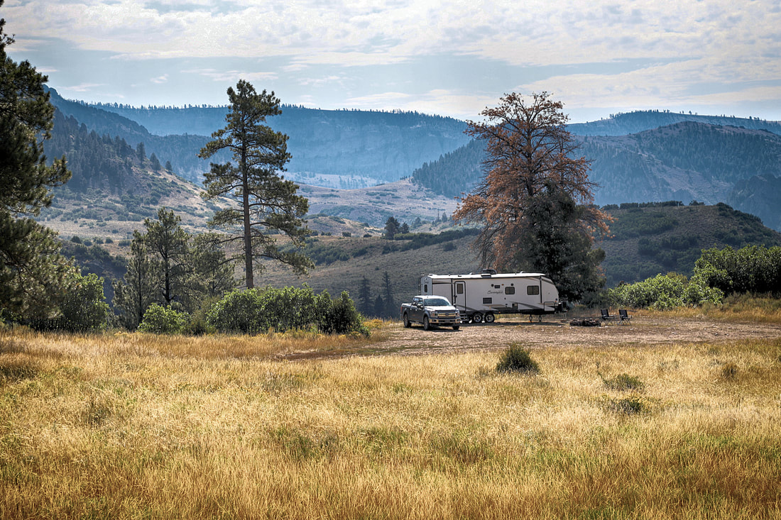
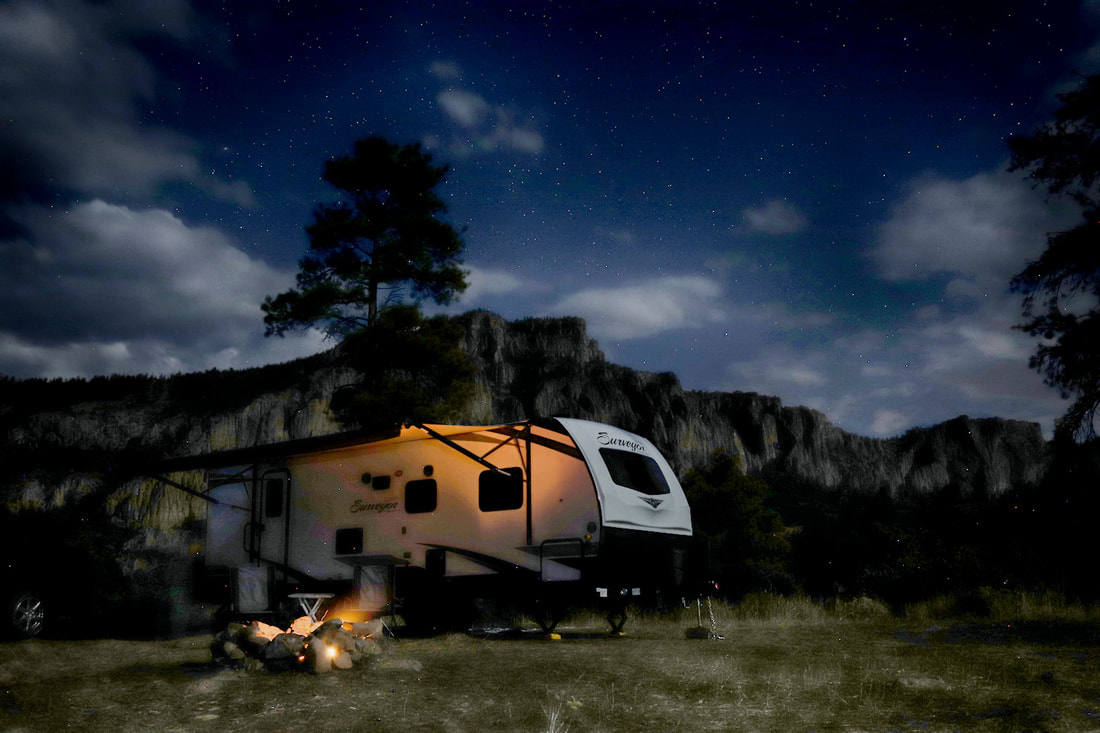
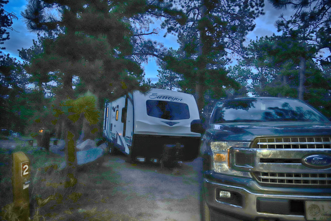
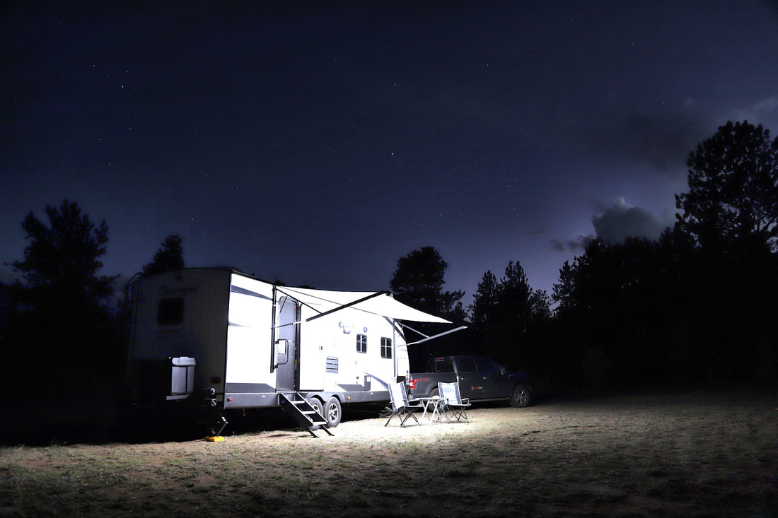
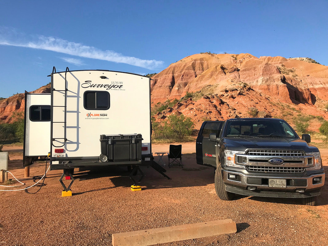
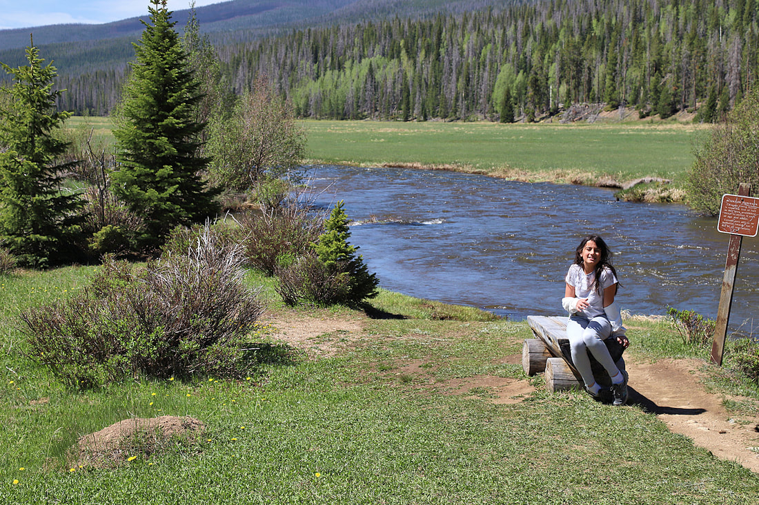
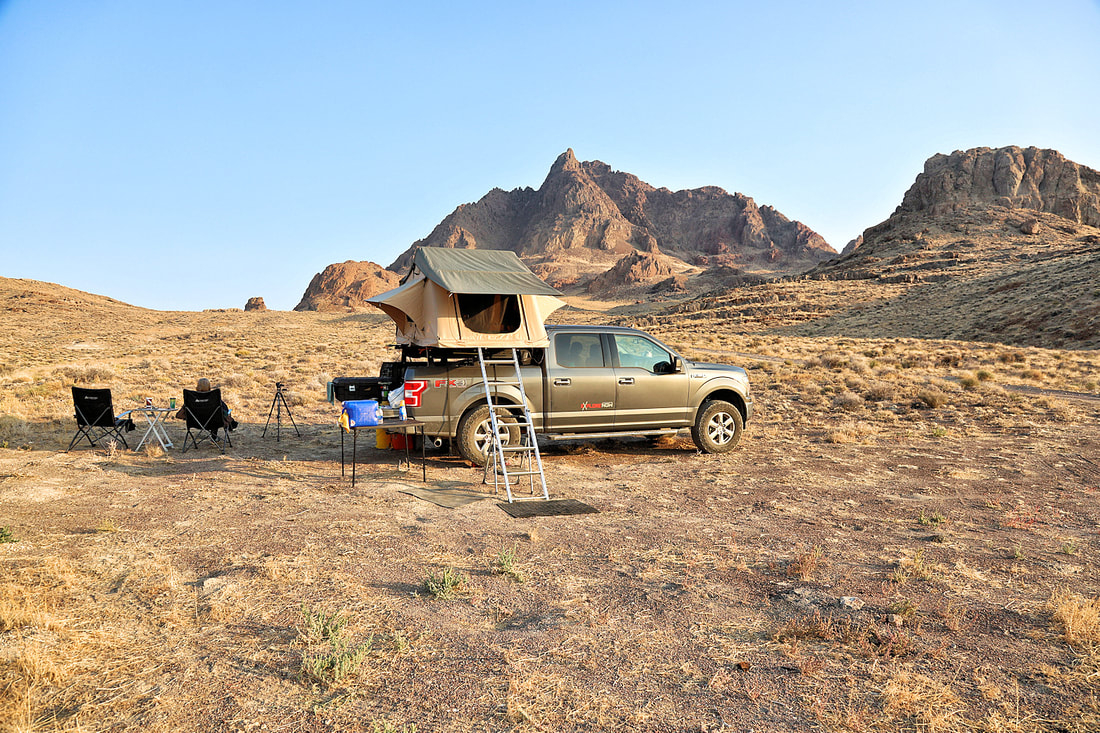
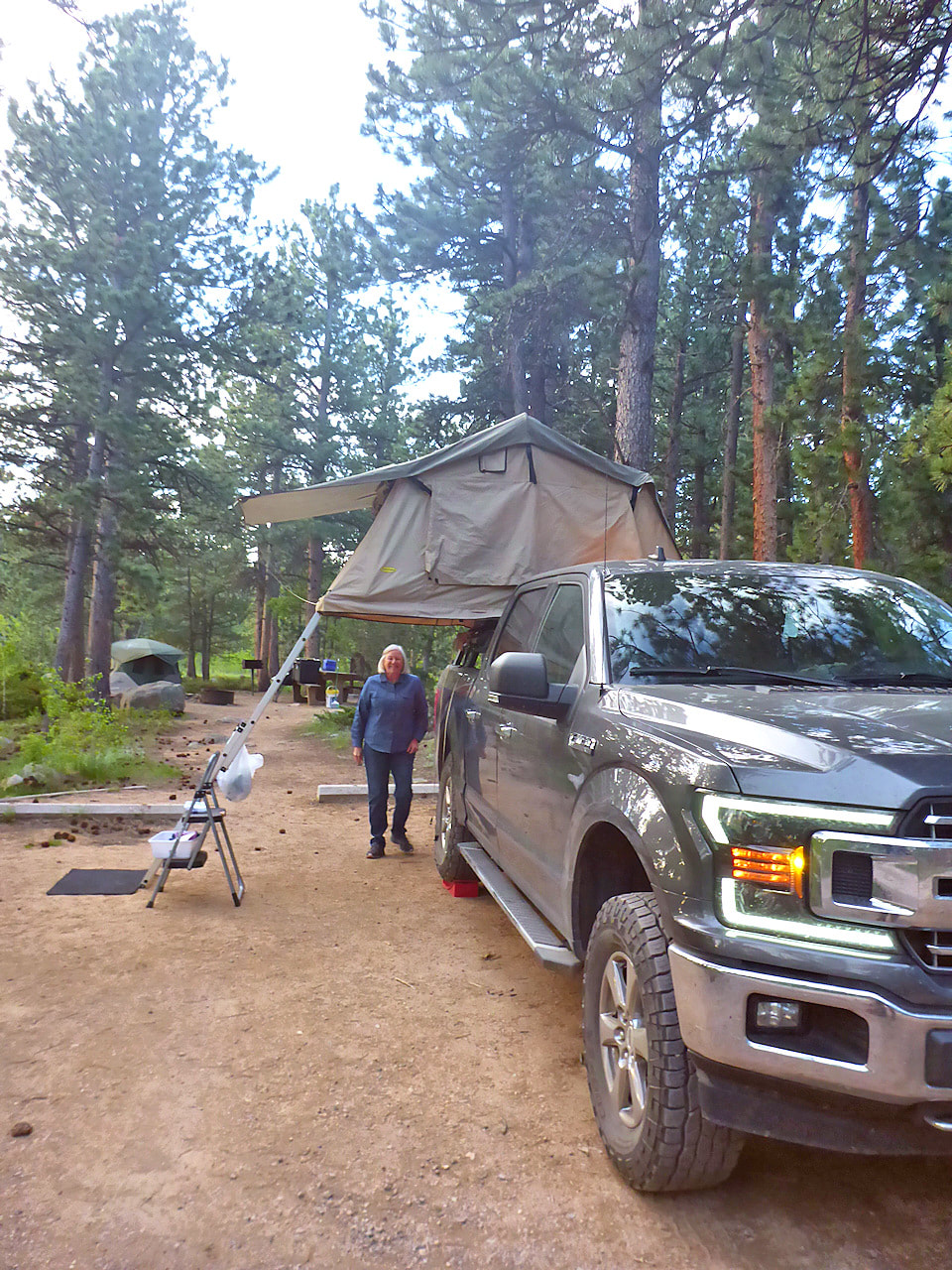
CAMPSITES IN COLORADO


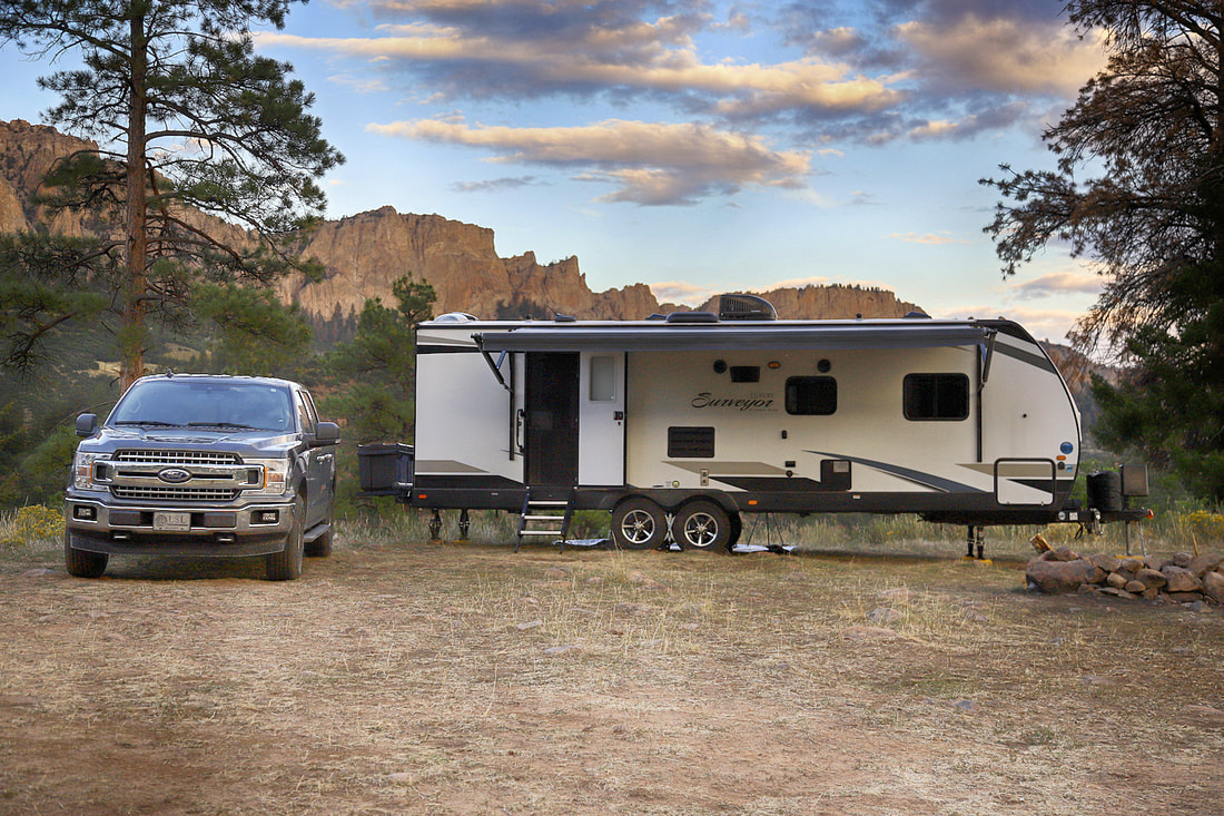


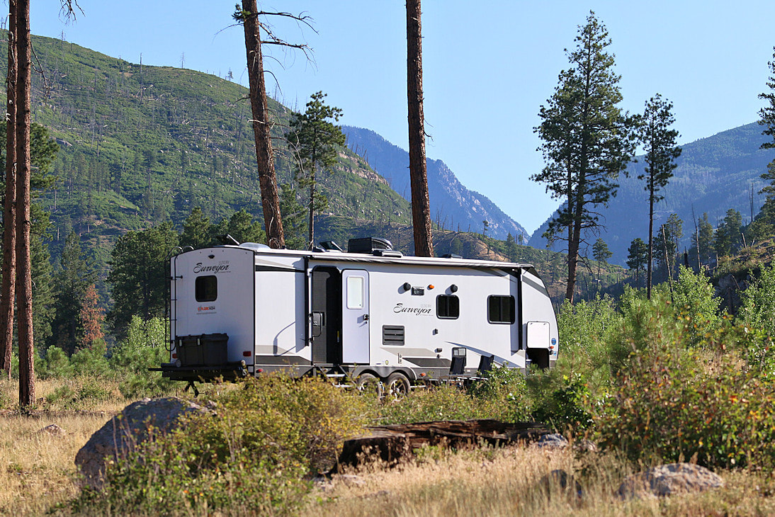


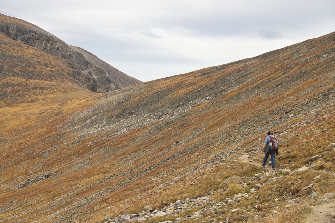
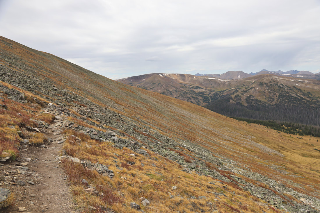
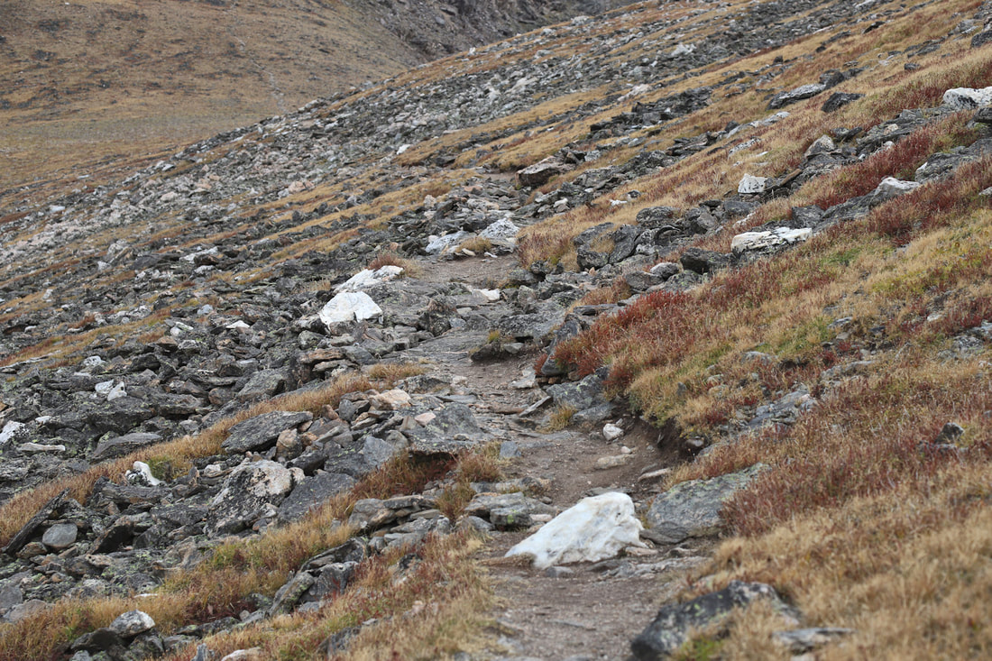
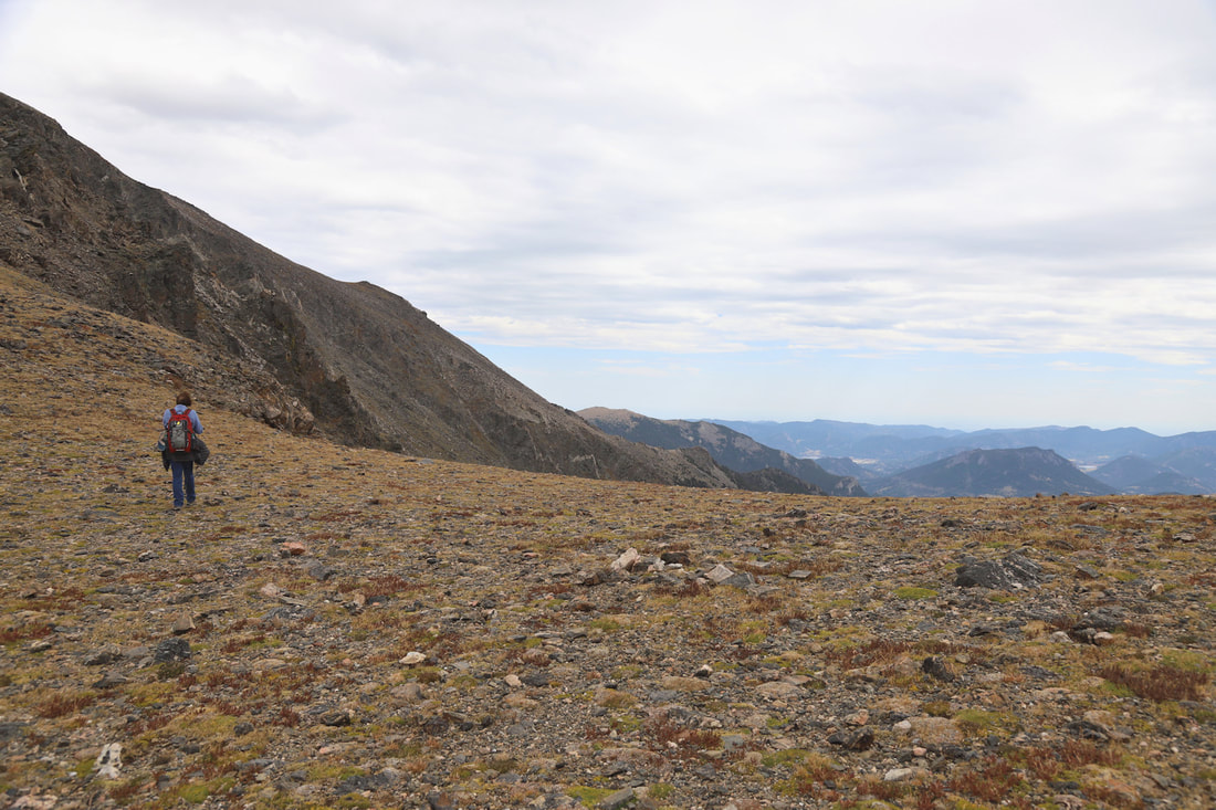
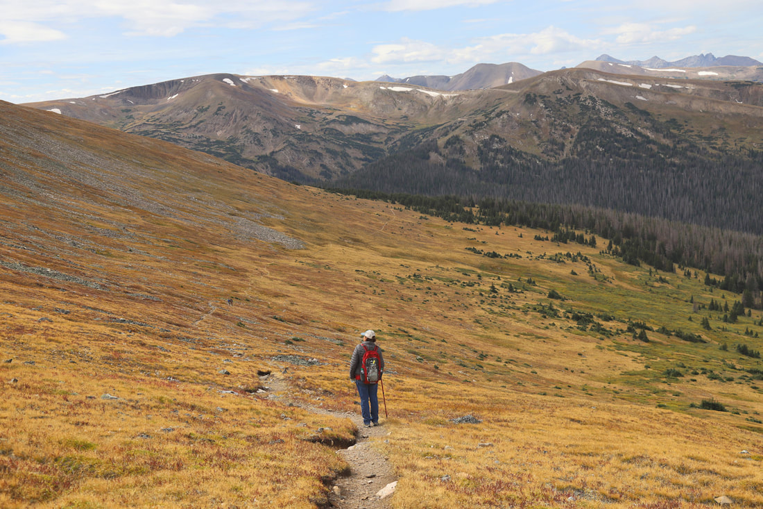
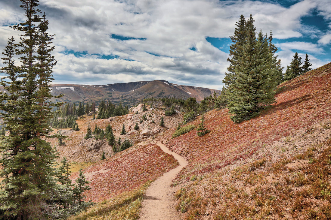
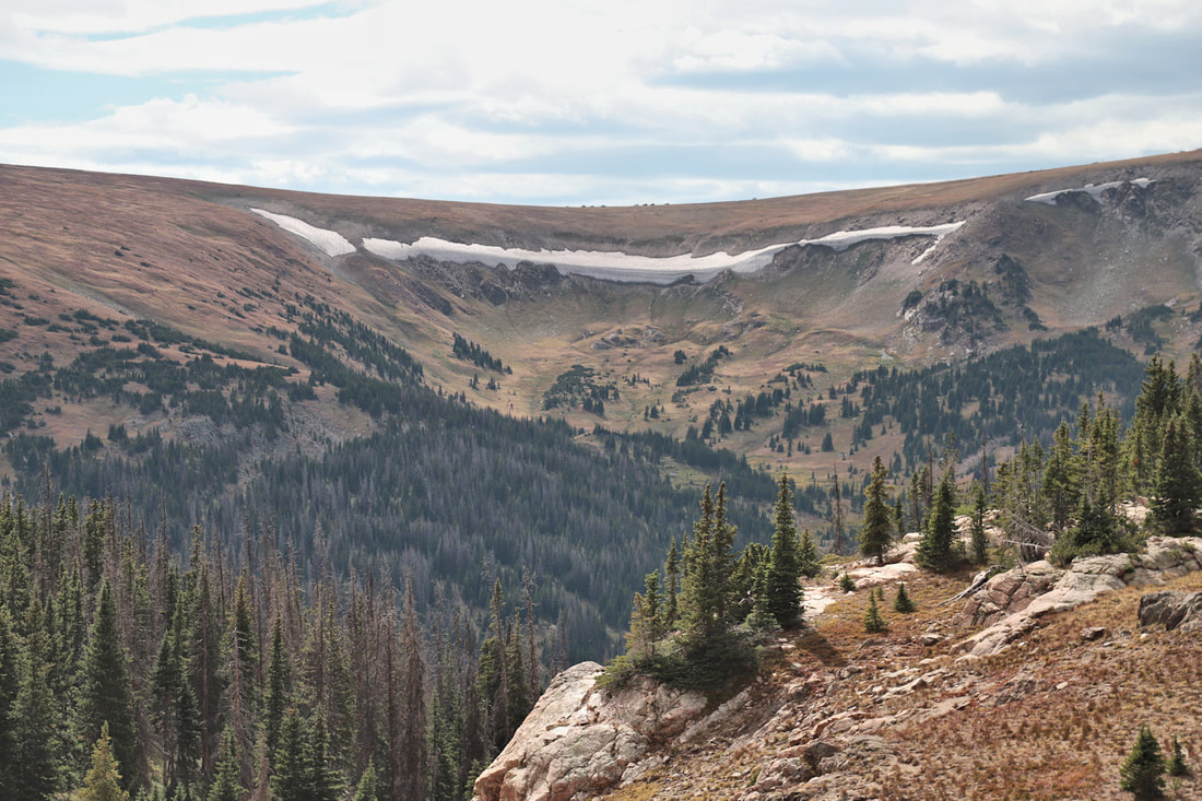
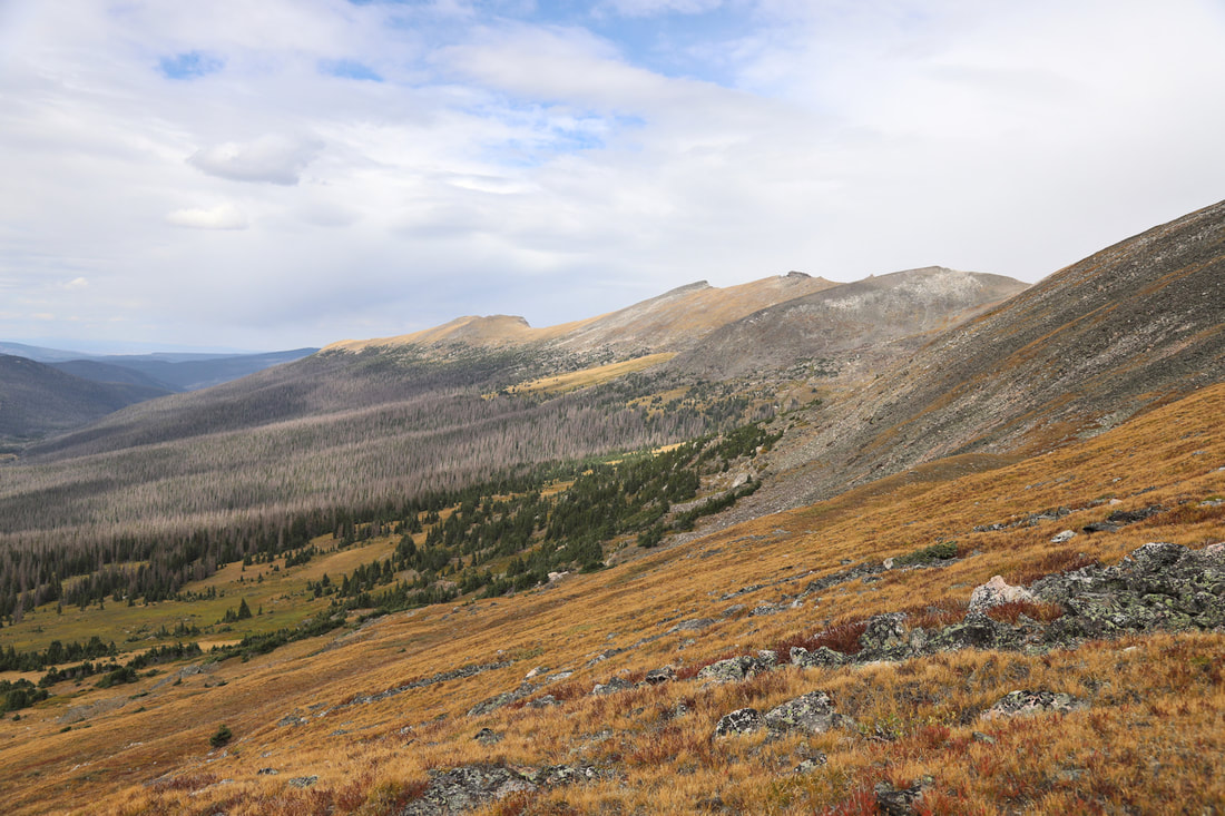
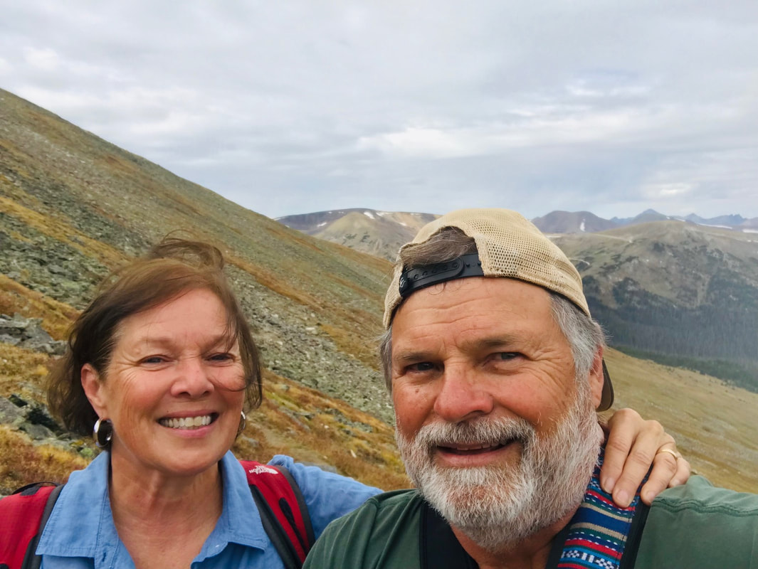
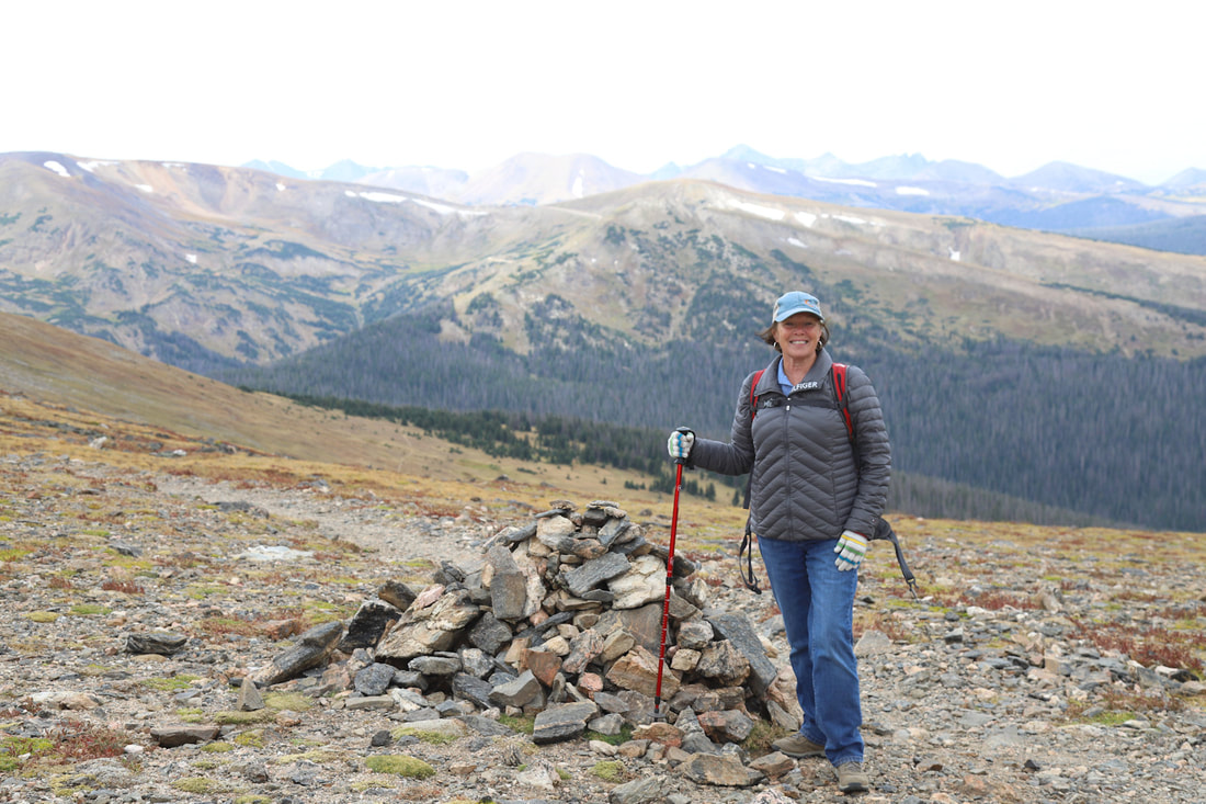
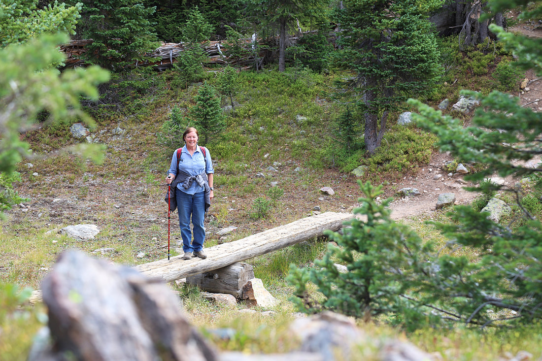
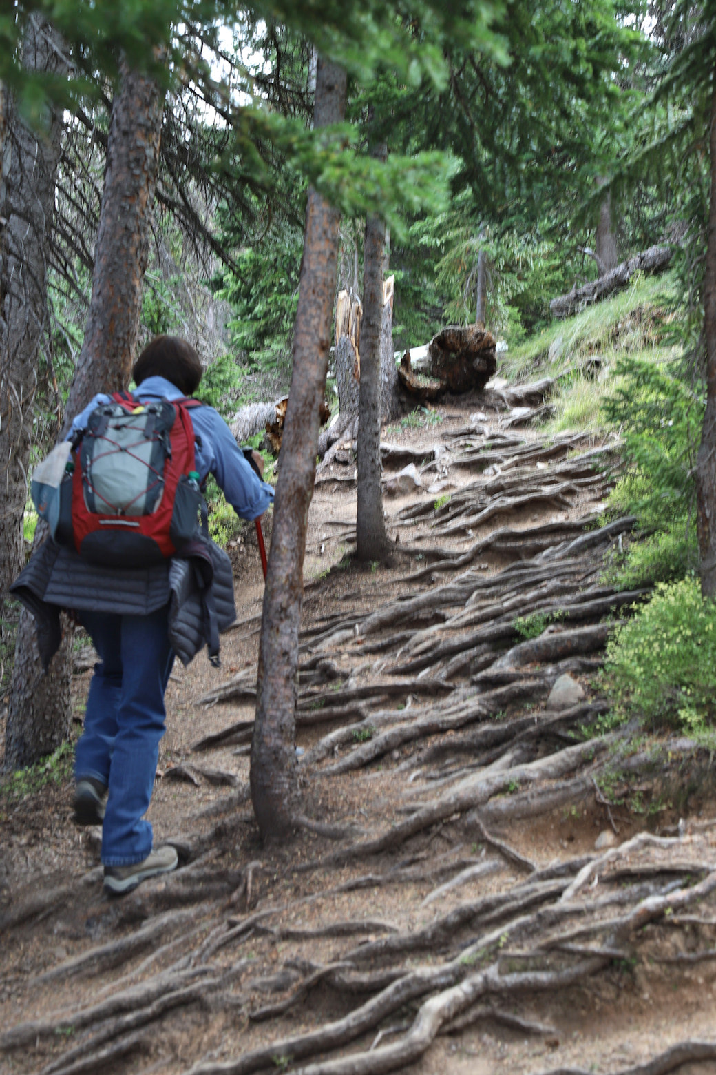
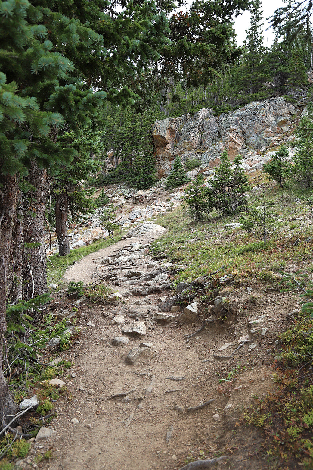
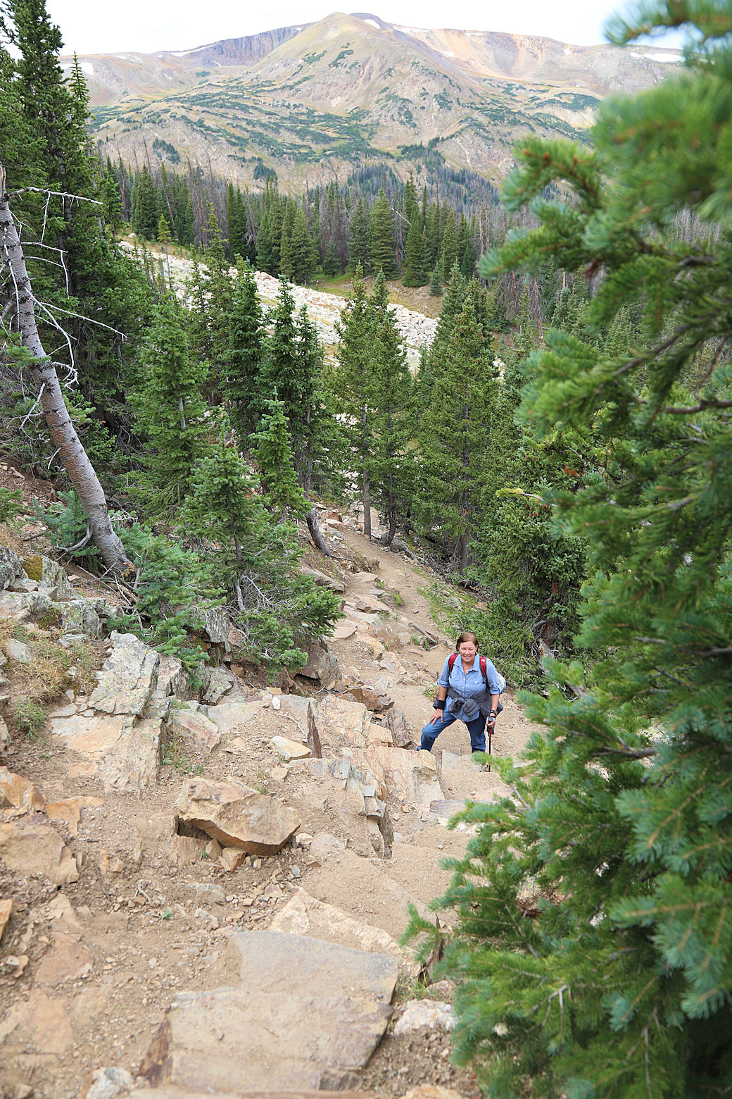
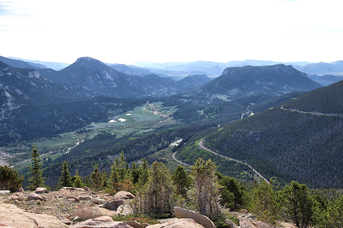
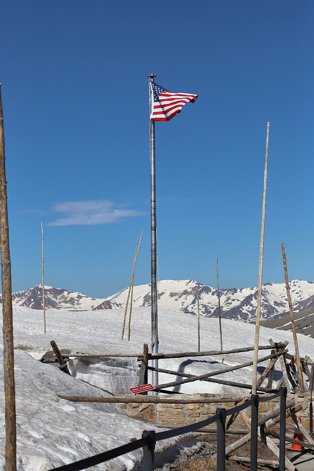
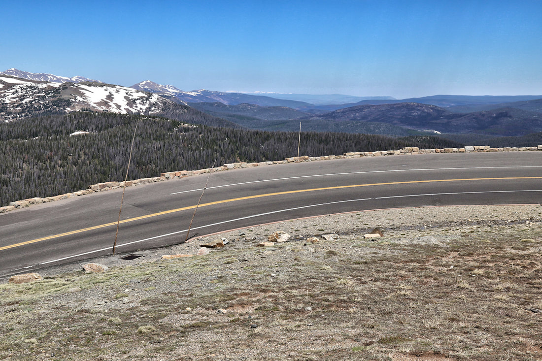
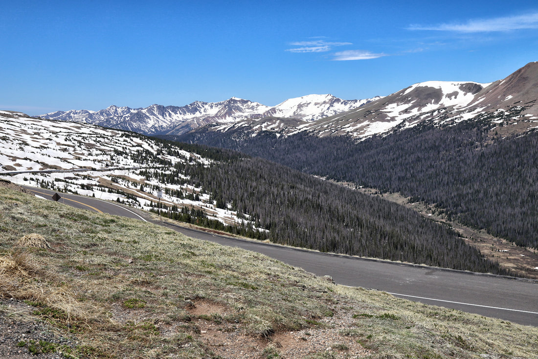
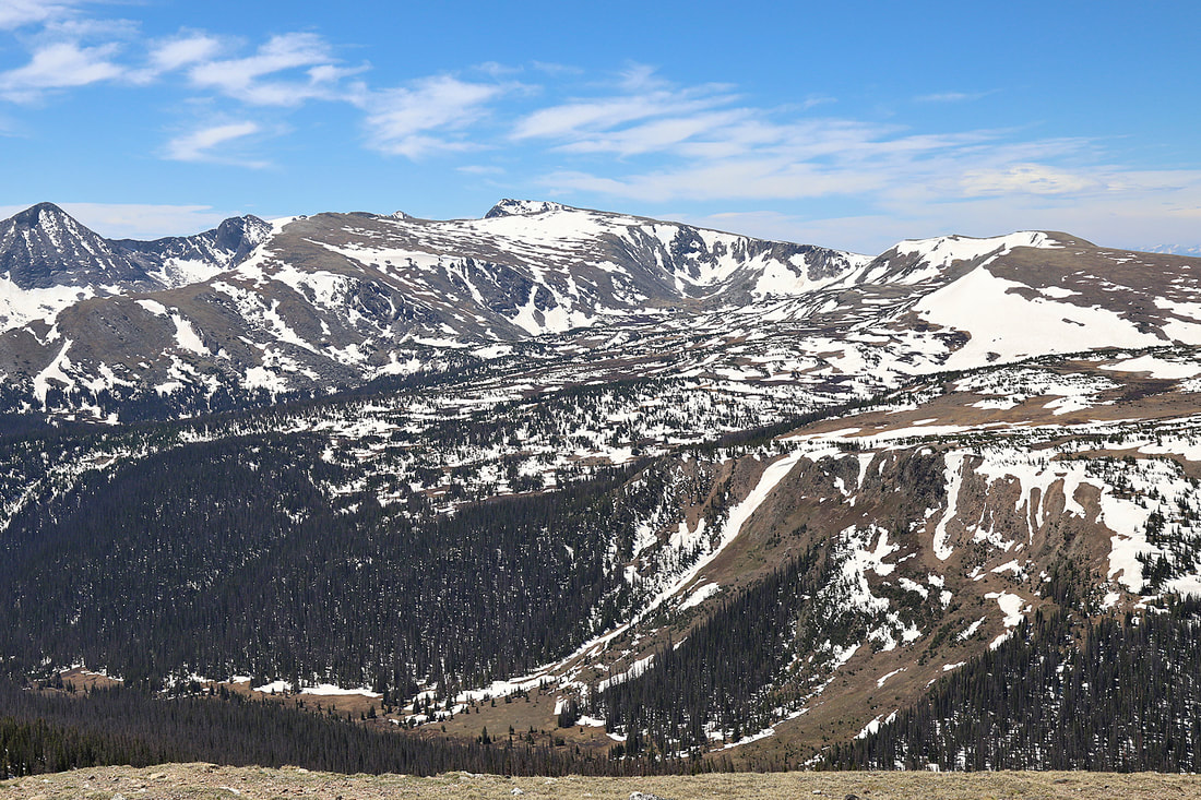
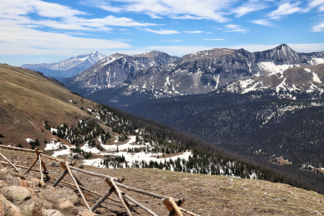
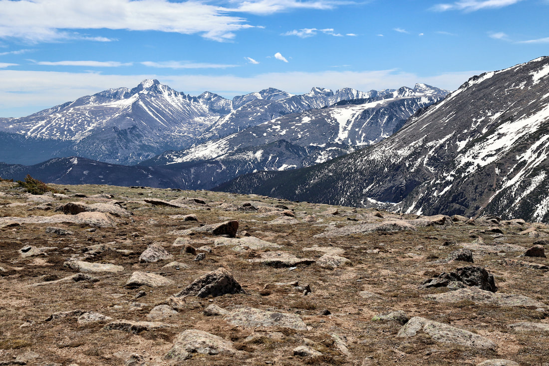
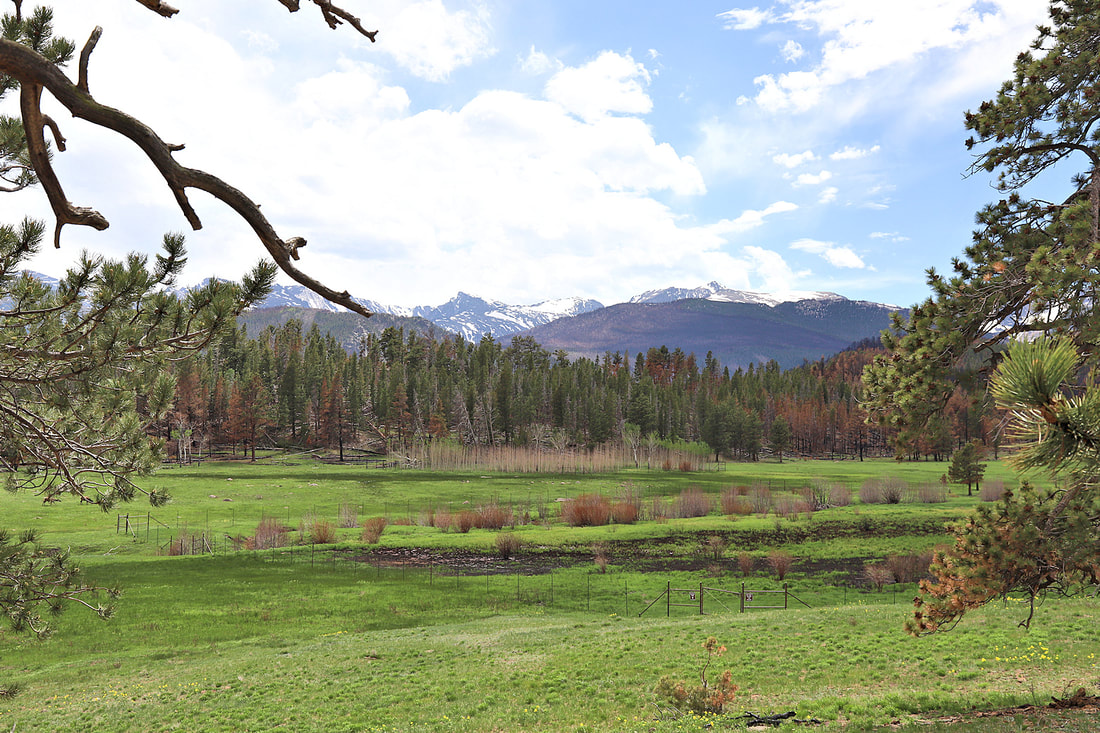
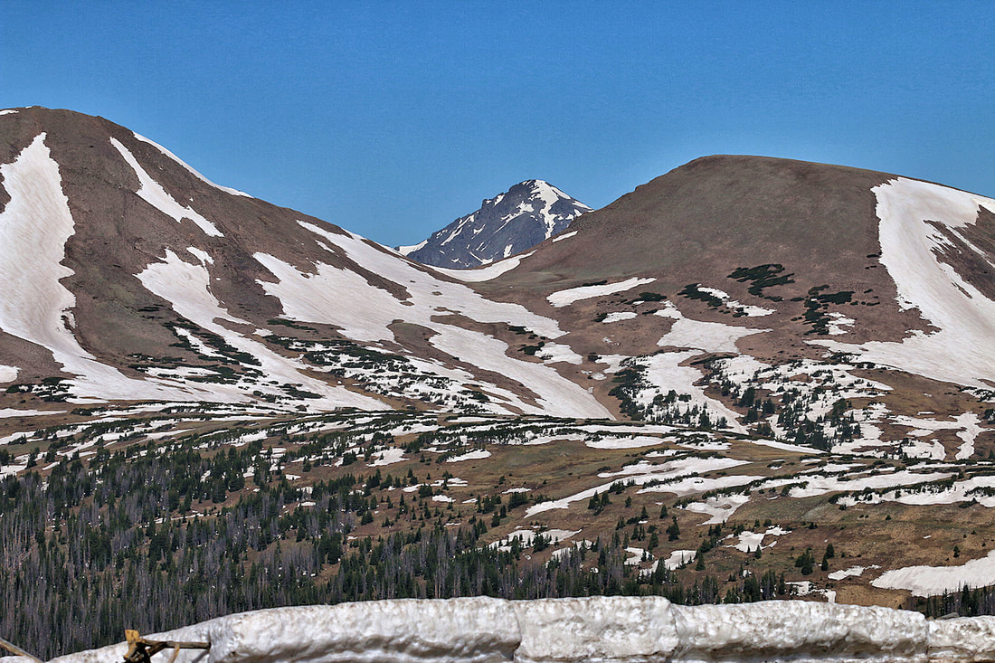
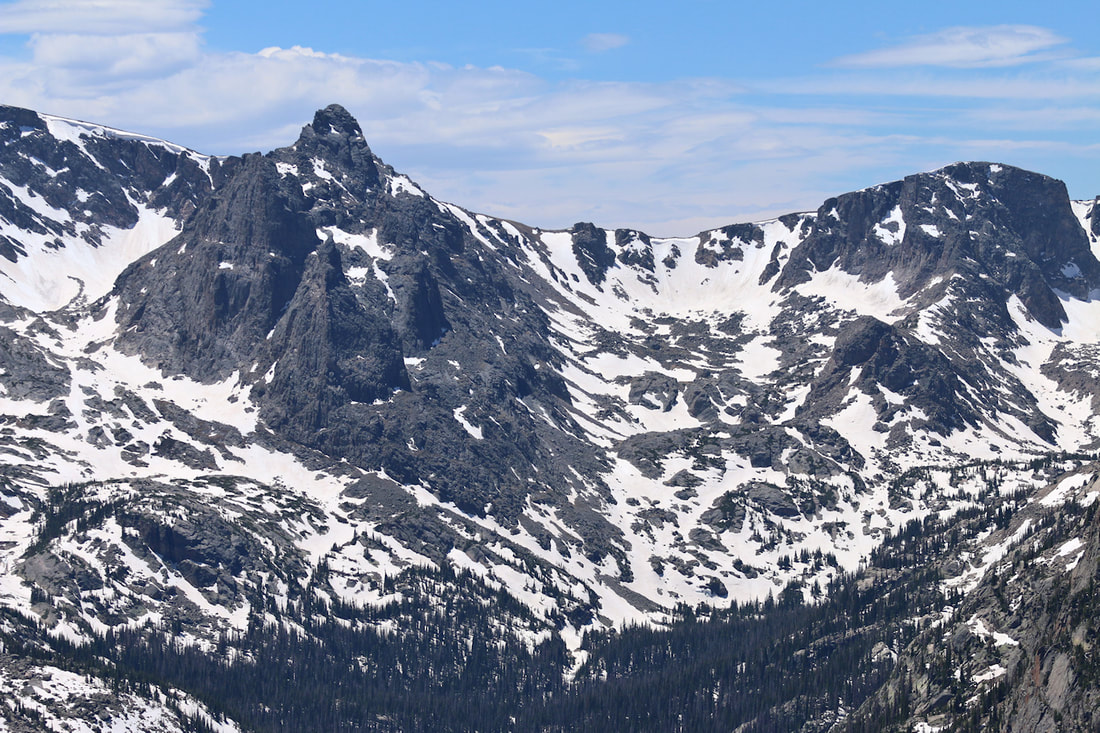
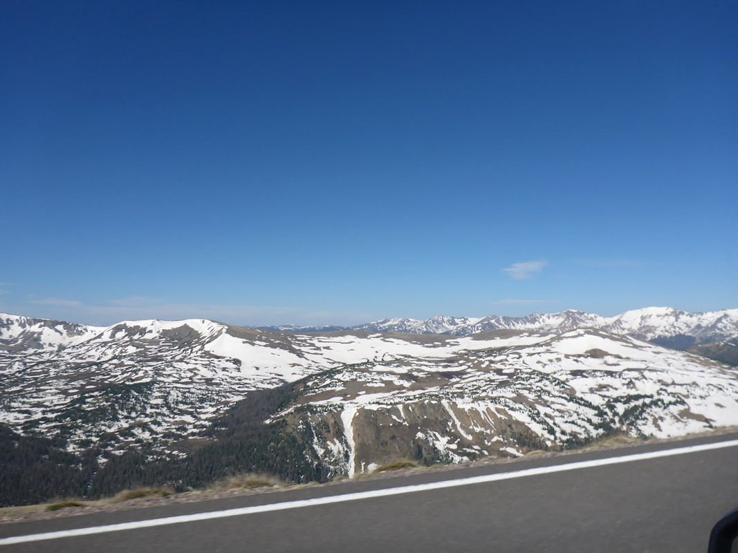
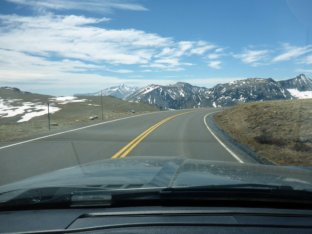
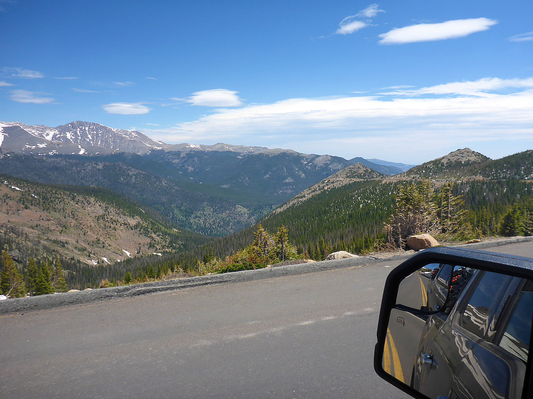
Chapin Pass is by far the best hike I have made to this date. It began with us climbing the Alpine Ridge Trail on the Old Fall River Road the day before and we noticed a trail on the mountain across from us. We thought it looked like a fantastic hike and we asked a local ranger how to get on the trail. Turns out the trail starts from the Old Fall River Road and we new right where he was telling us the trail started. The trail offers fantastic views and a mixture of mountain landscapes that made it an amazing hike. We made it to the pass and the weather changed with cold winds and sleet falling. We saw people on top of the mountain, but decided the wind was too strong to go further. We will summit next time if weather allows. Rocky Mountain National Park Map


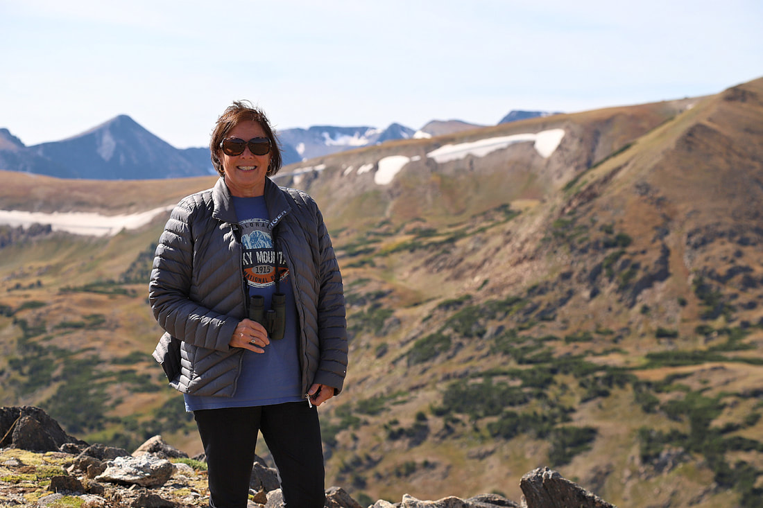
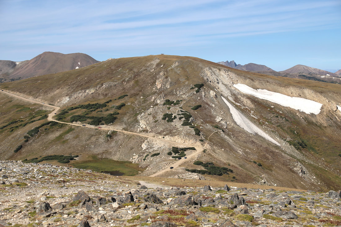
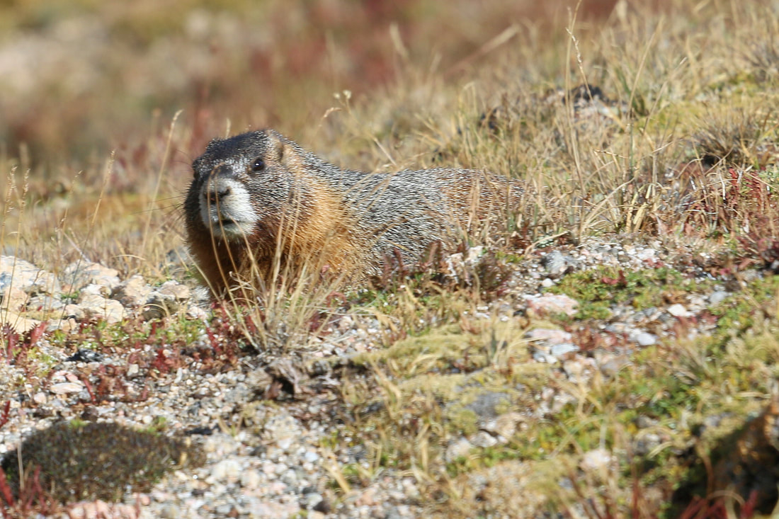
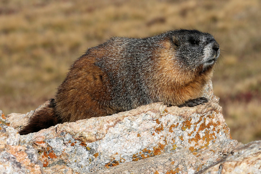
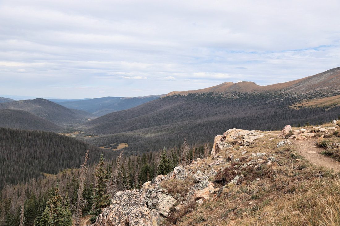

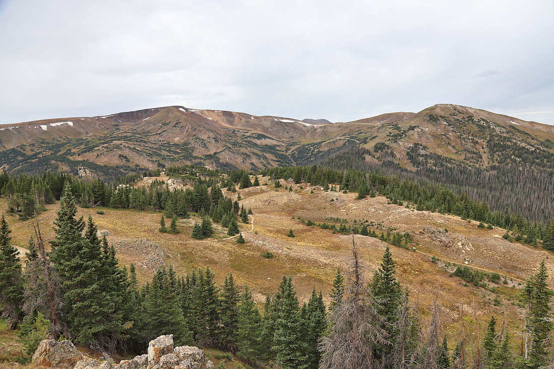
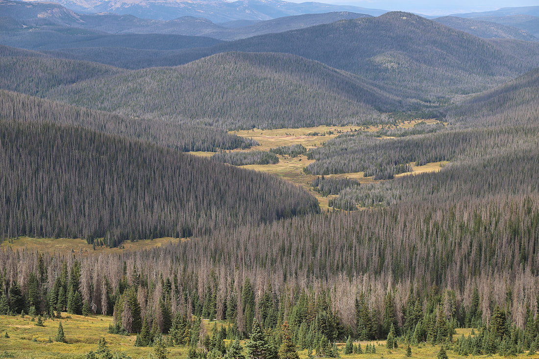


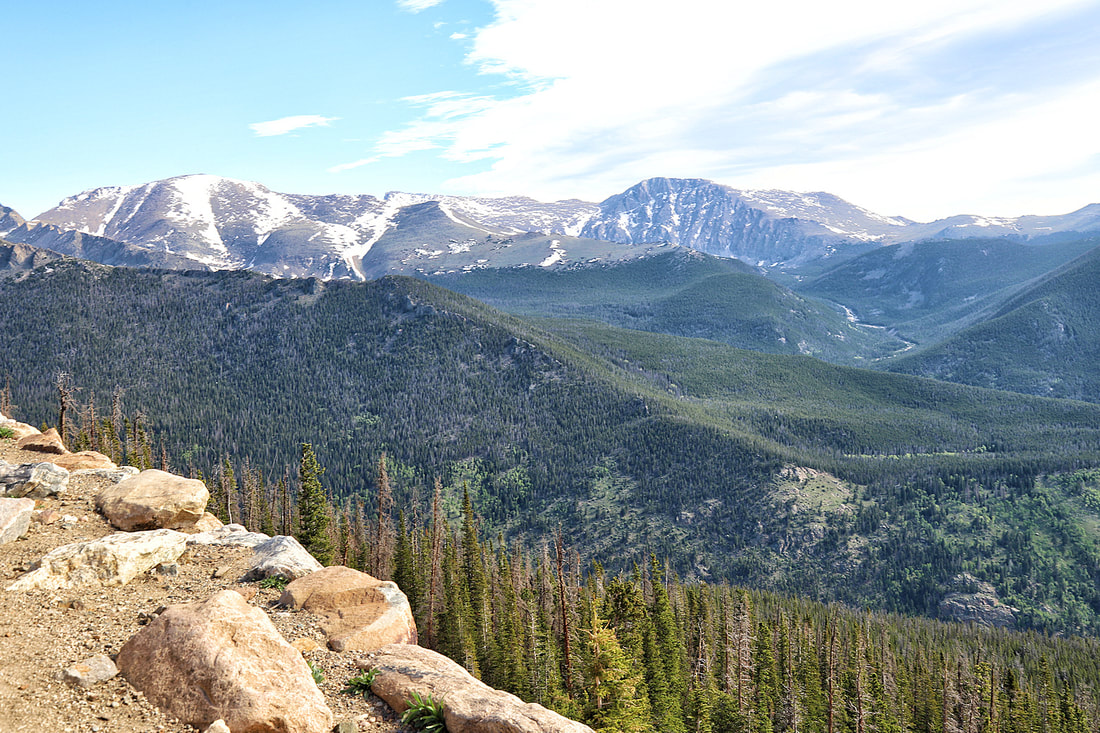
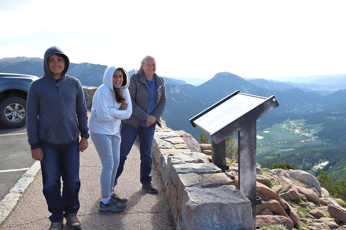
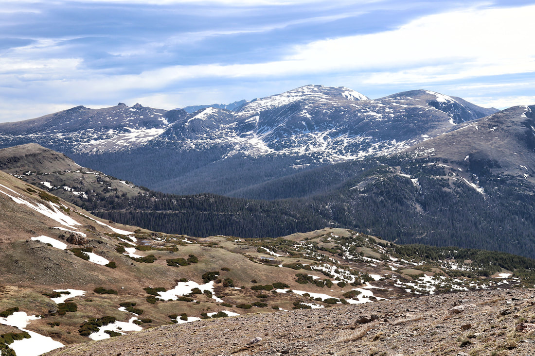
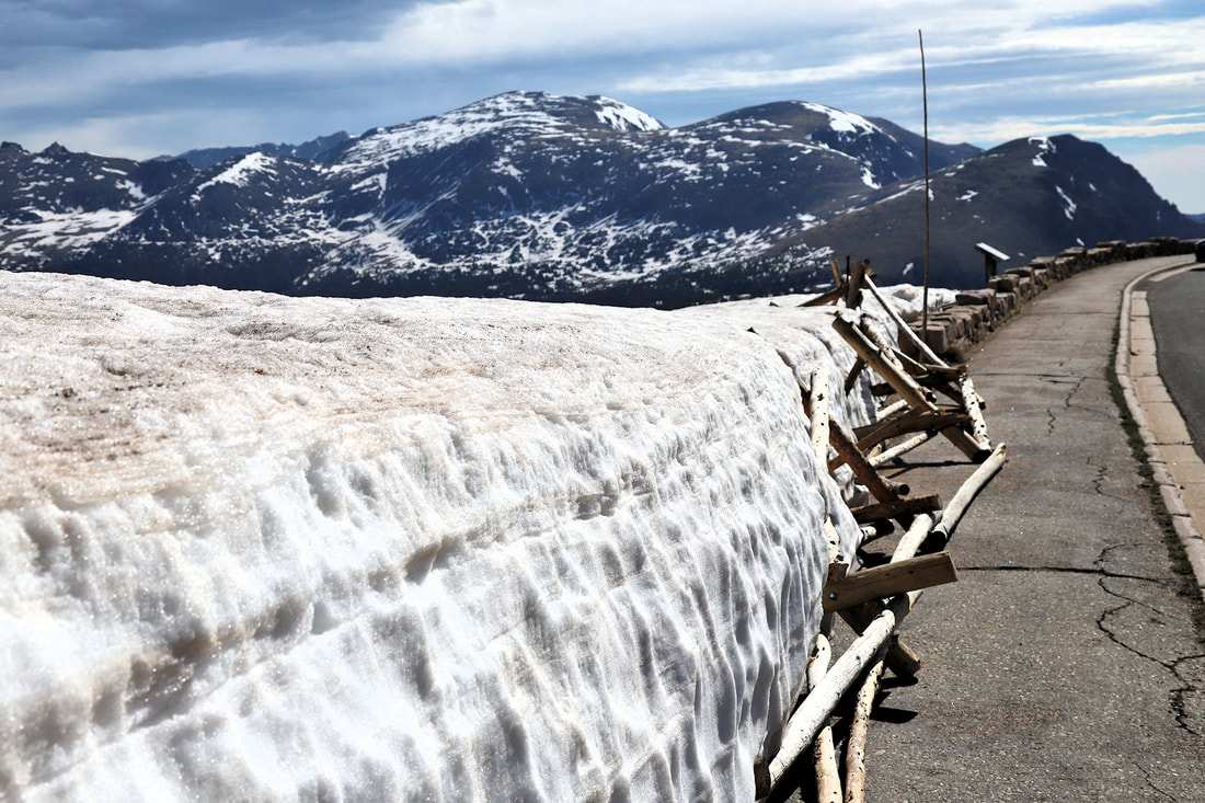
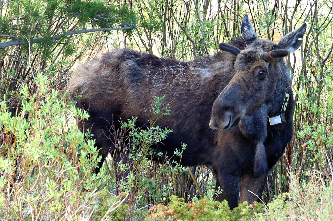
ROCKY MOUNTAIN NATIONAL PARK
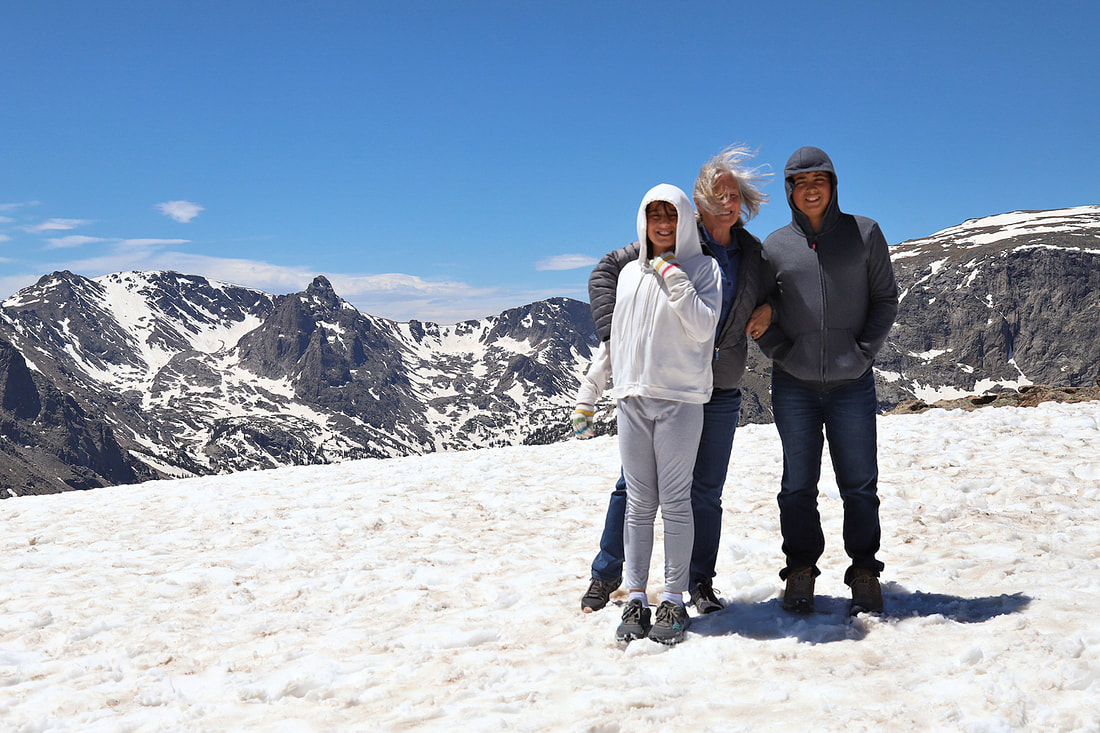
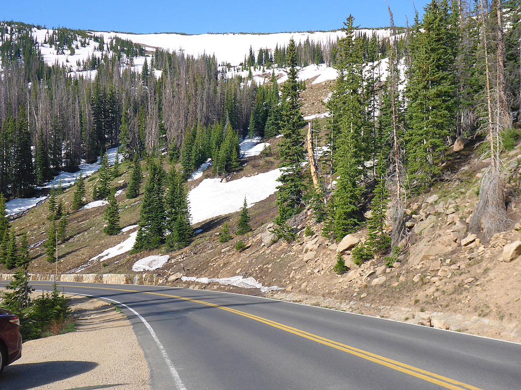
We took a trip in early June 2021 with 2 of our grandkids through South Dakota, Wyoming and Colorado. Even with RMNP establishing a reservation system, we were able to get in at certain times in the morning and after 3:00 PM in the afternoon. The drive up to Bear Lake required a reservation or you could go after 6:00 PM. There was still a lot of snow and our favorite road, the Old Fall River Road was closed due to snow. Here are some of the images from that trip!
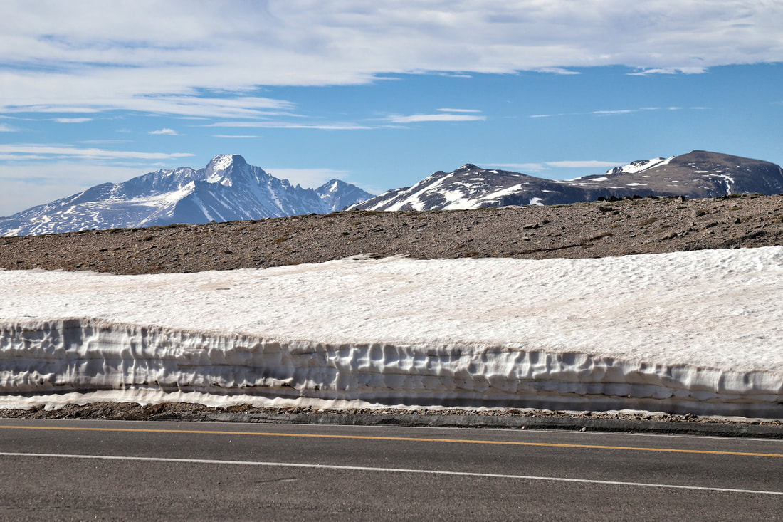


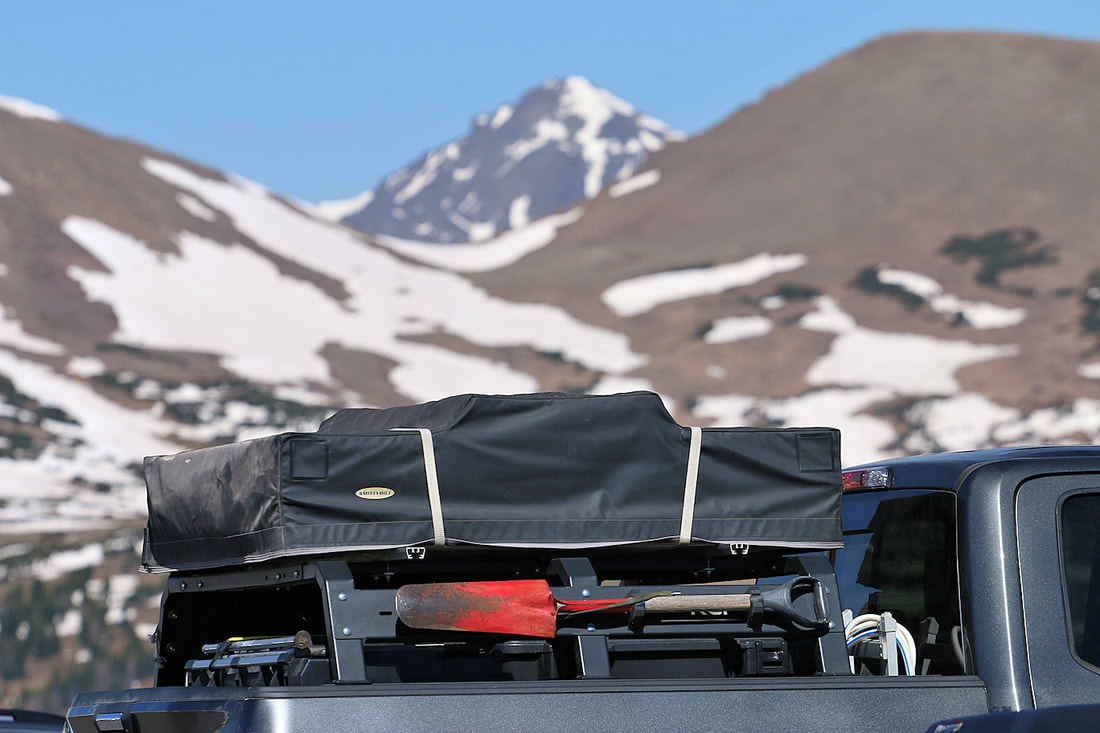


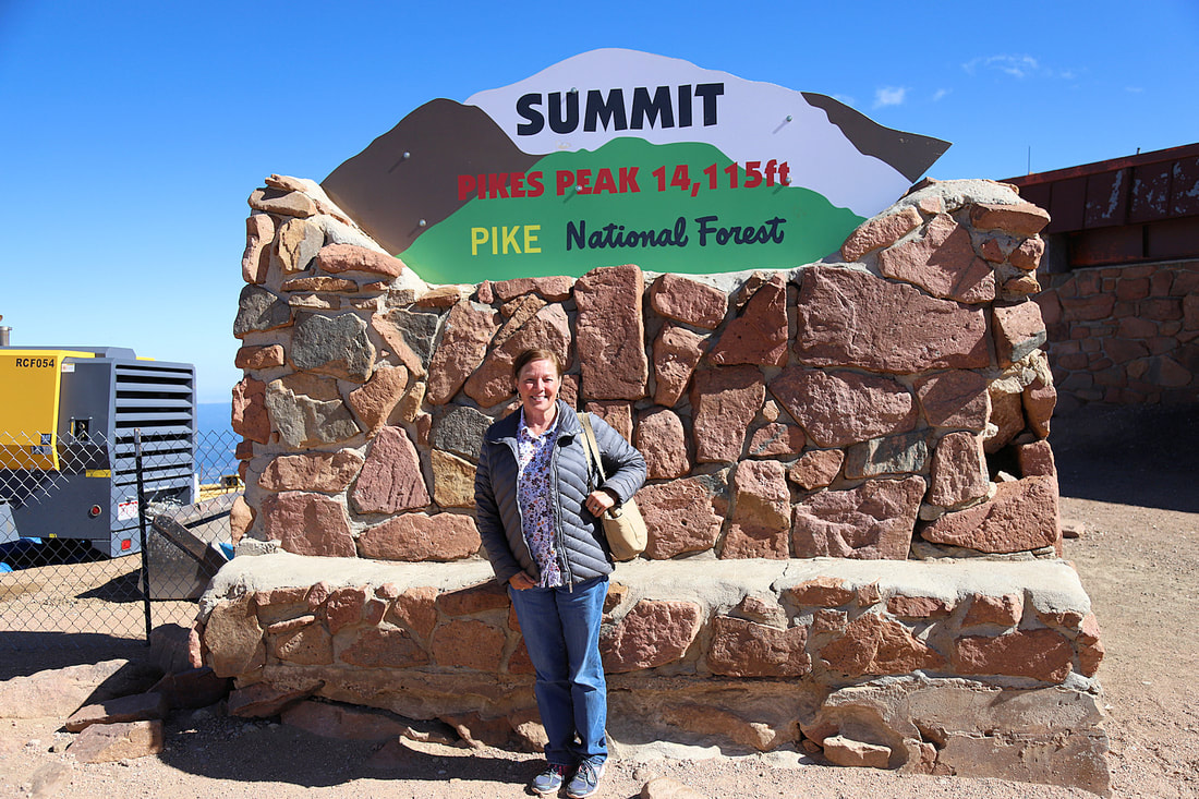
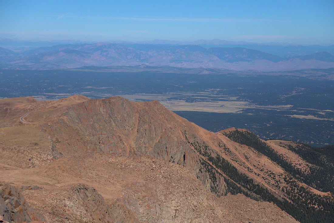
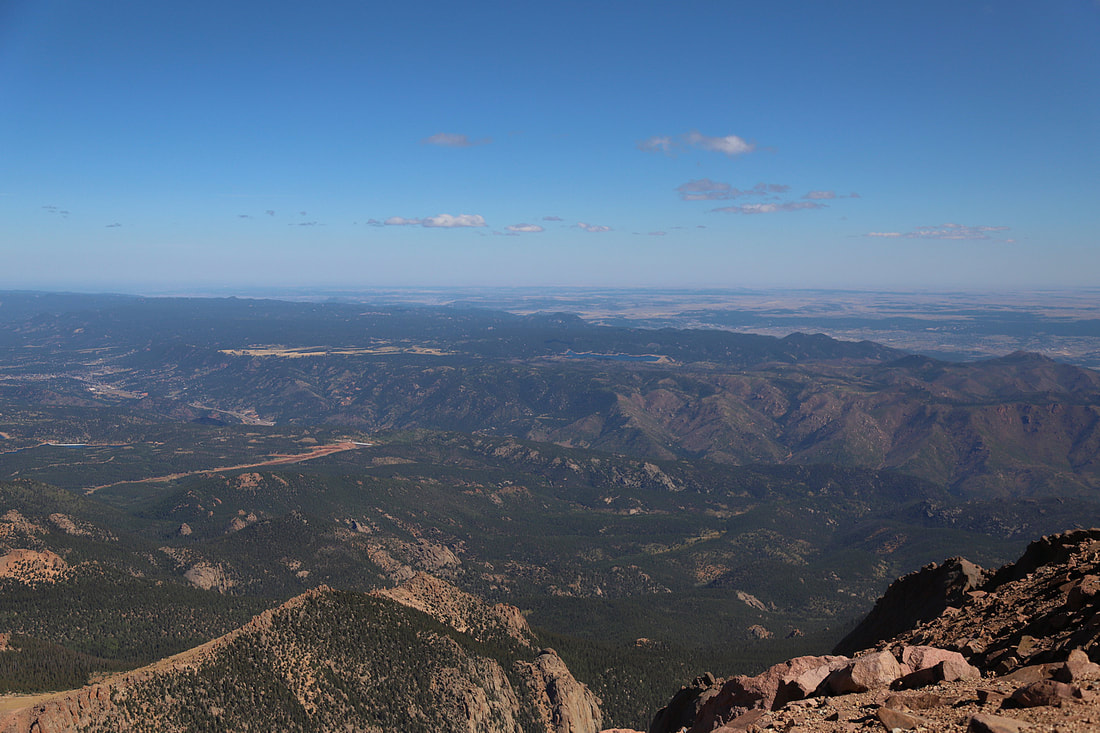
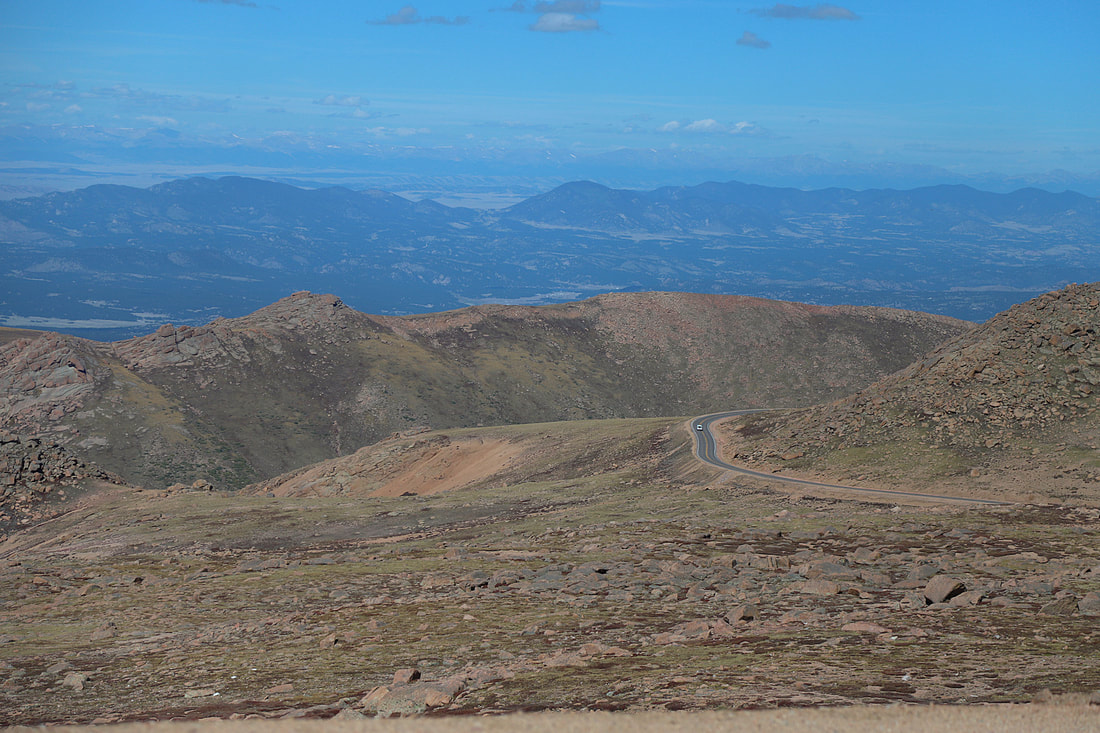
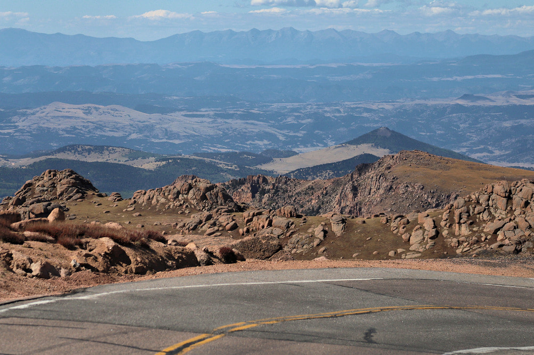
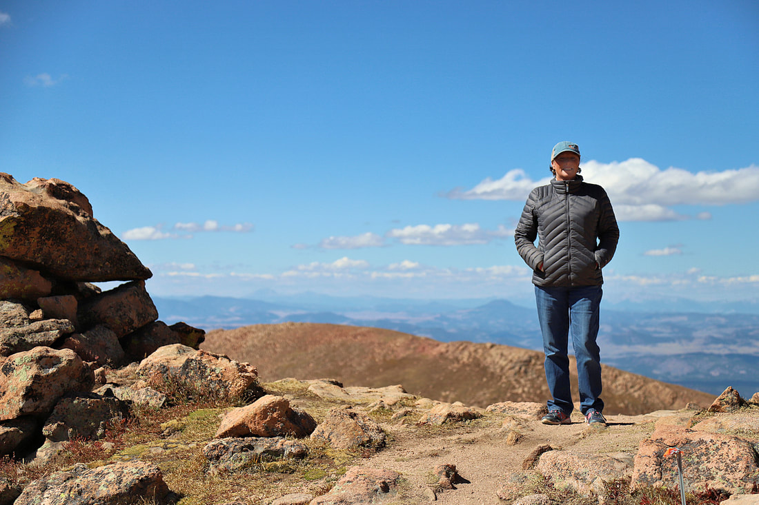
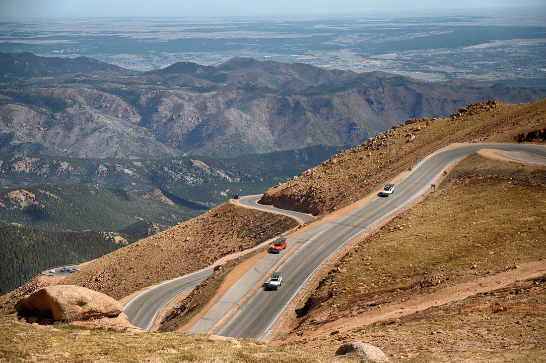
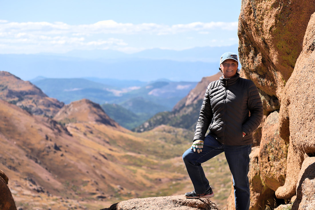
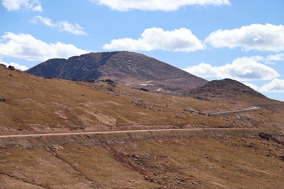
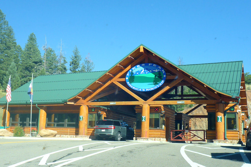
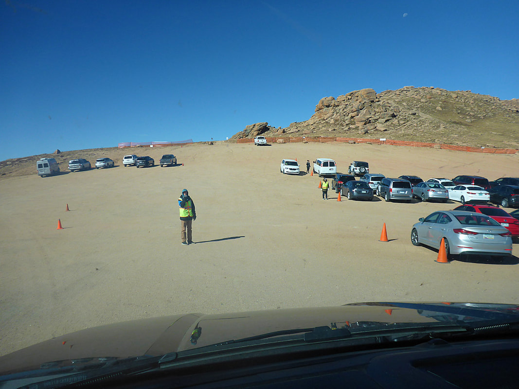
Pikes Peak in Colorado is over 14,000 ft. and 19 miles of road to the top. If you are afraid of heights then driving to the top may be a little overwhelming, but you can stop at the first park and ride lot near the top and let an experienced driver drive you while you take pictures and enjoy the views. The top is under a lot of construction for now and there is very little room for tourist vehicles. A new building is scheduled to open on top in 2021. Map


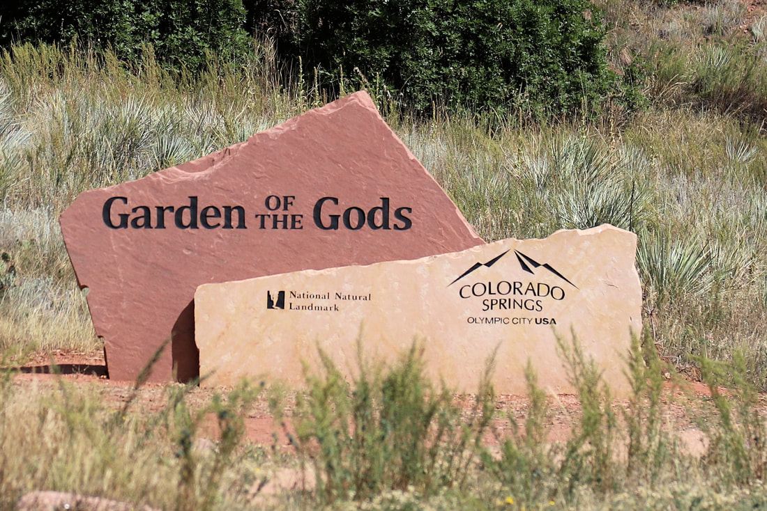
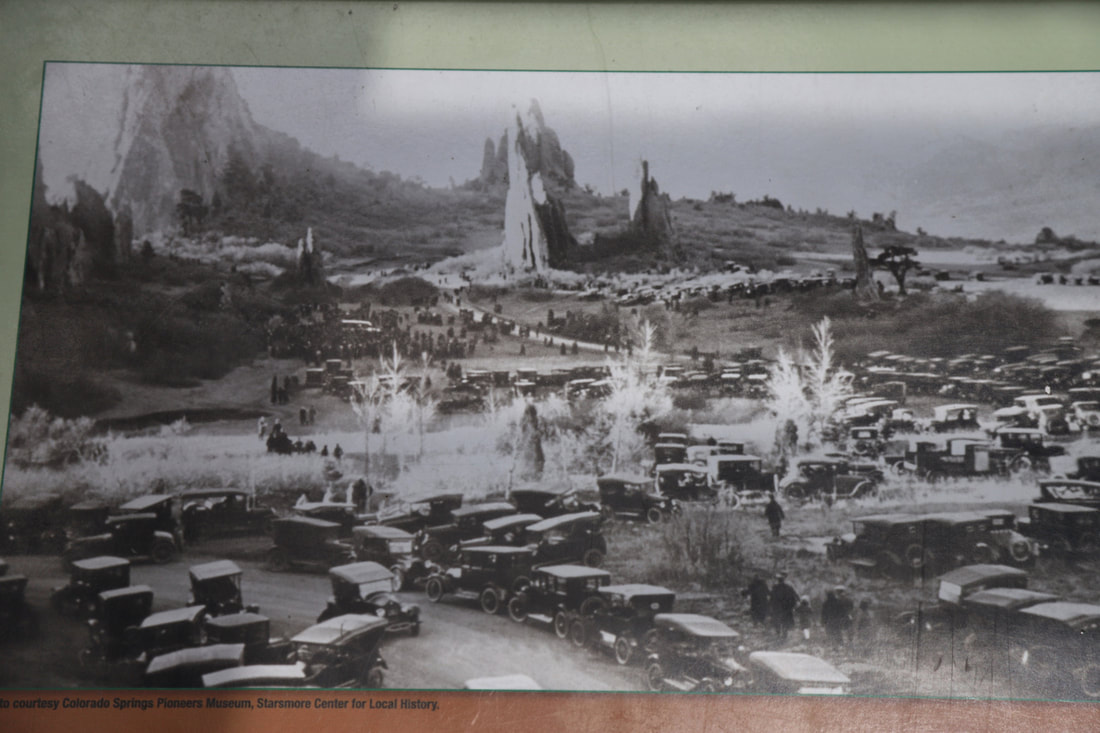
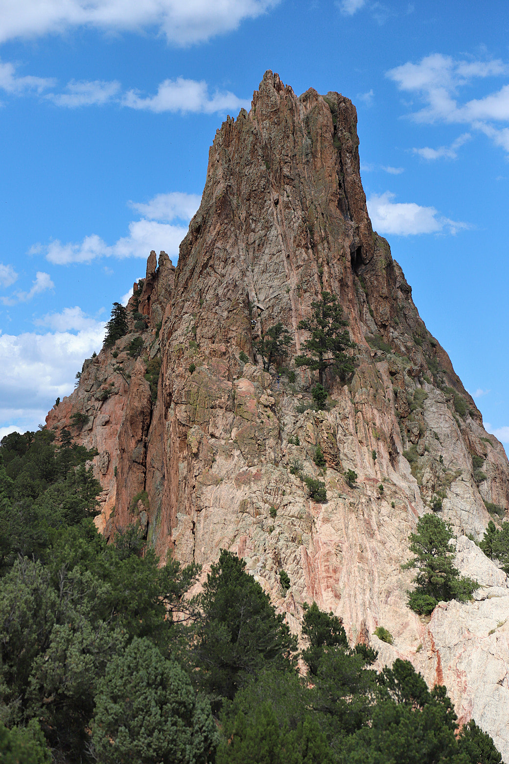
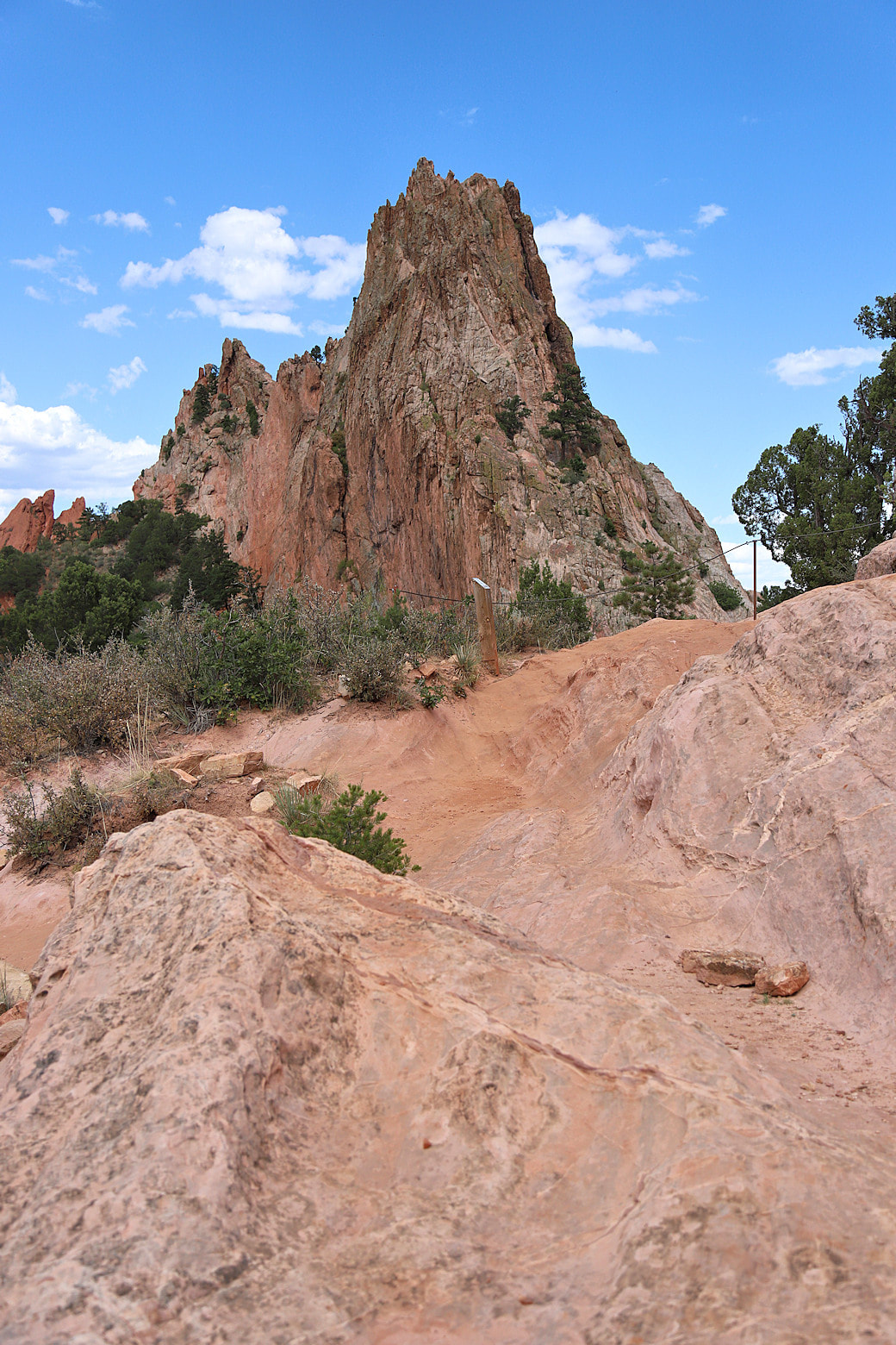
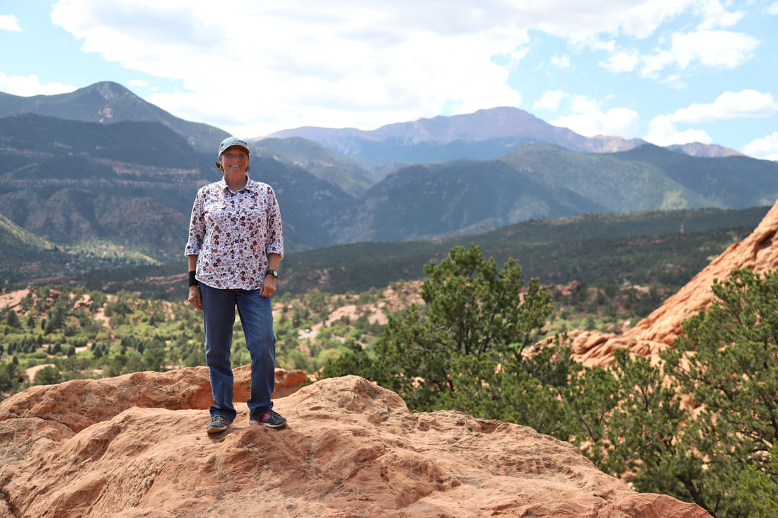
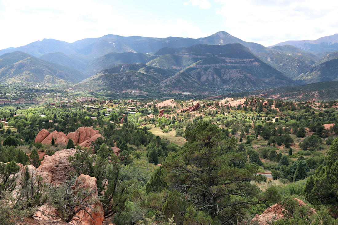
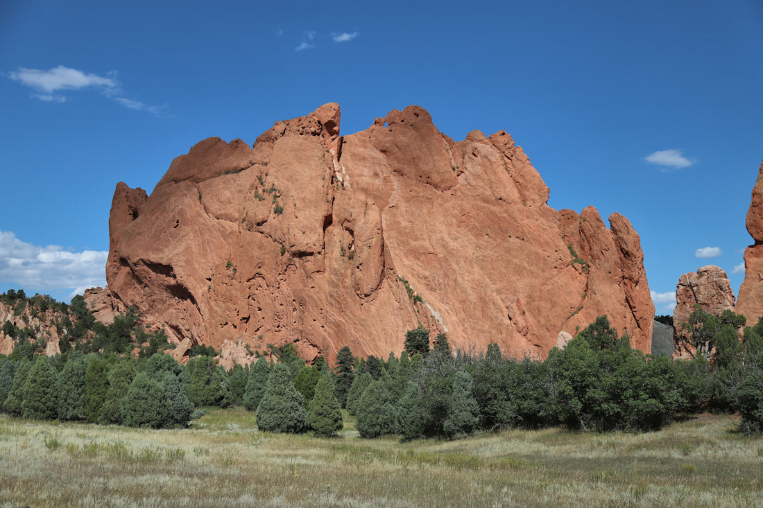
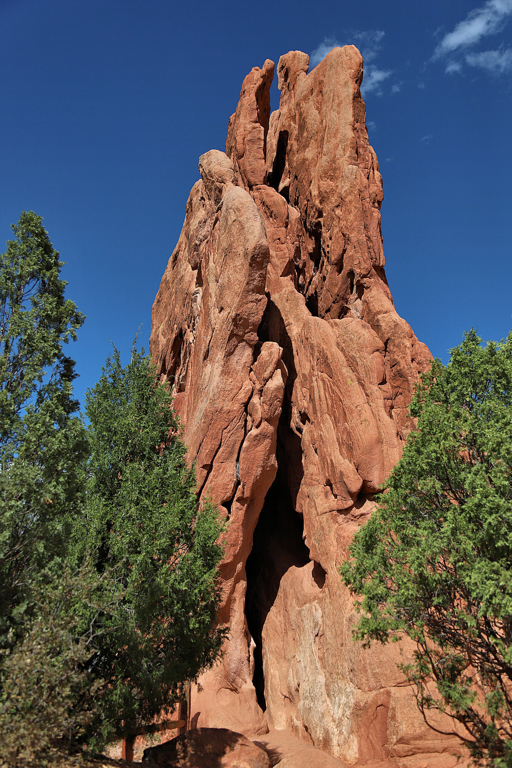
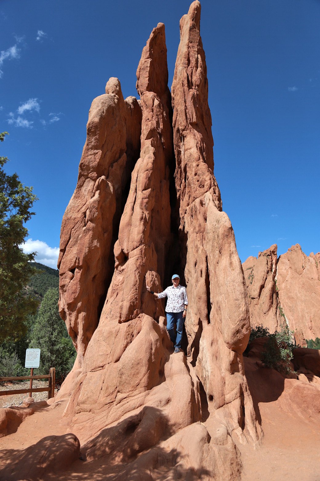
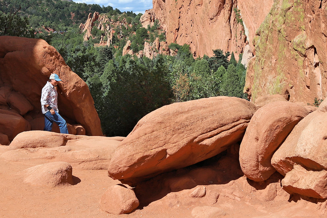
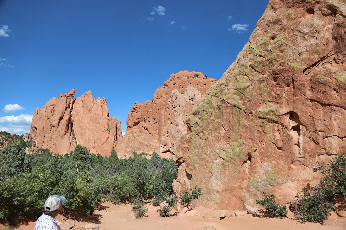
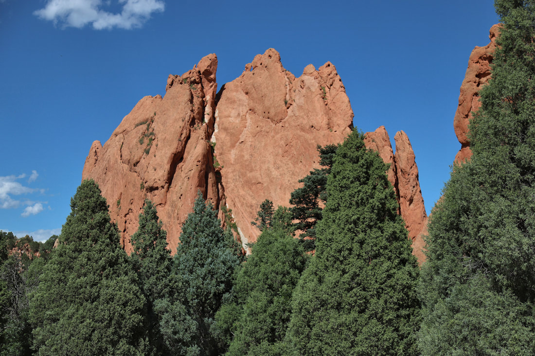
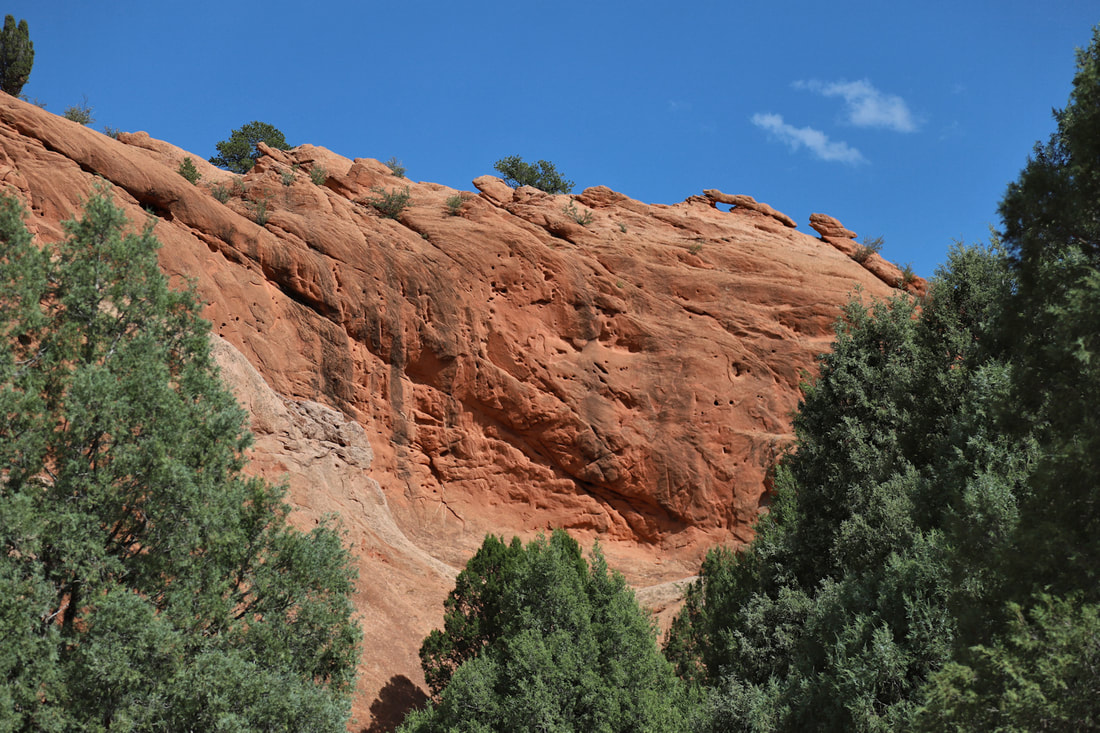
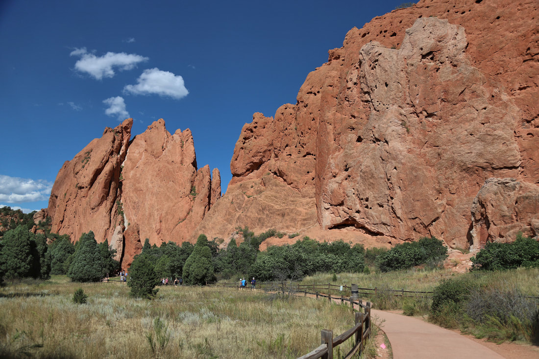
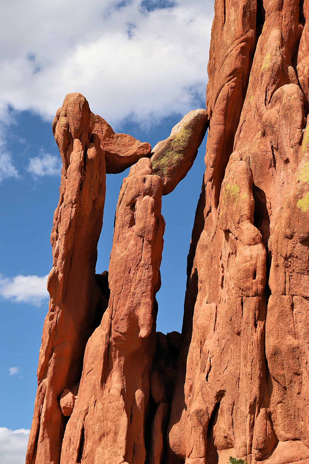
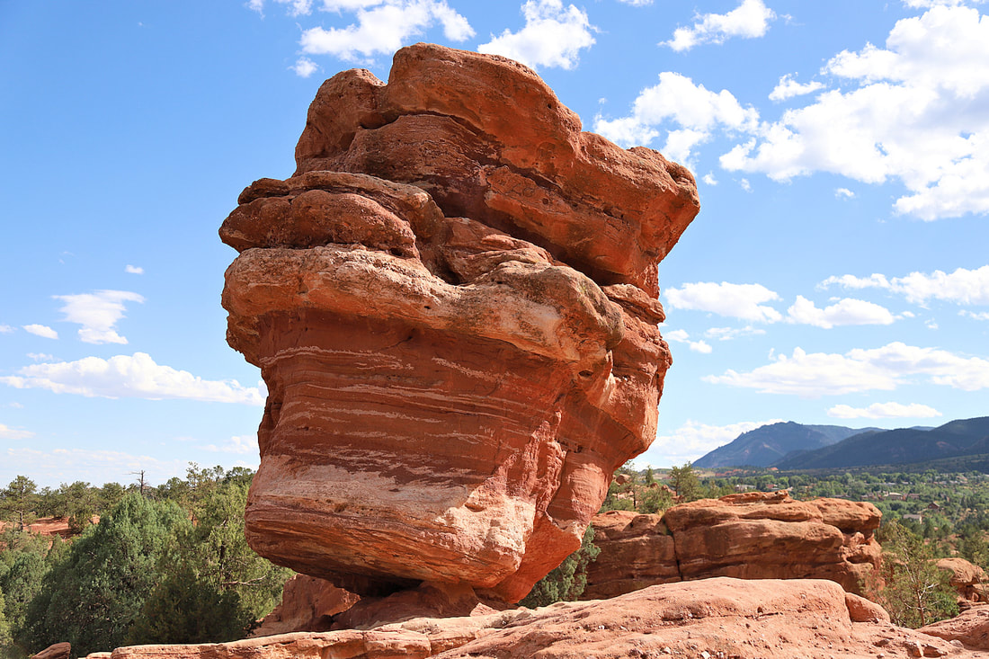
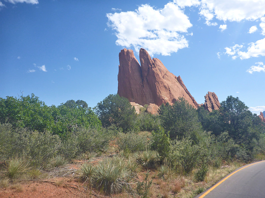
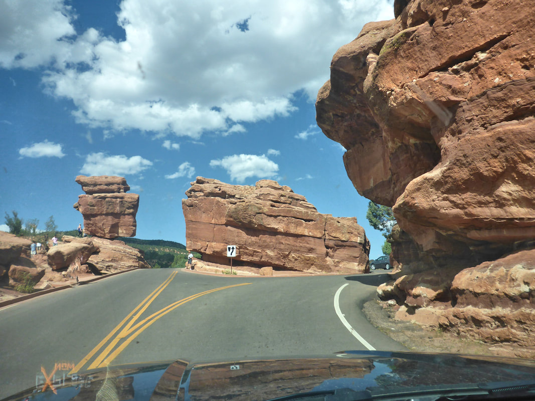
GARDEN OF THE GODS near Pikes Peak is a great place for short hikes through towering sandstone formations and a scenic drive that is worth the time to explore. Map


More images of Colorado in our Gallery (click here)
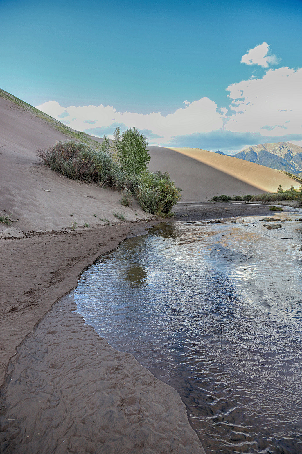
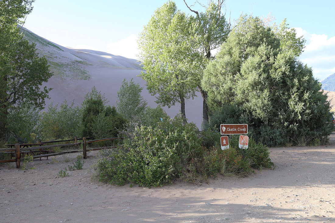
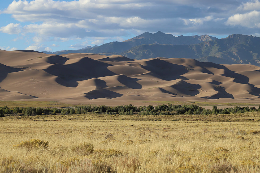
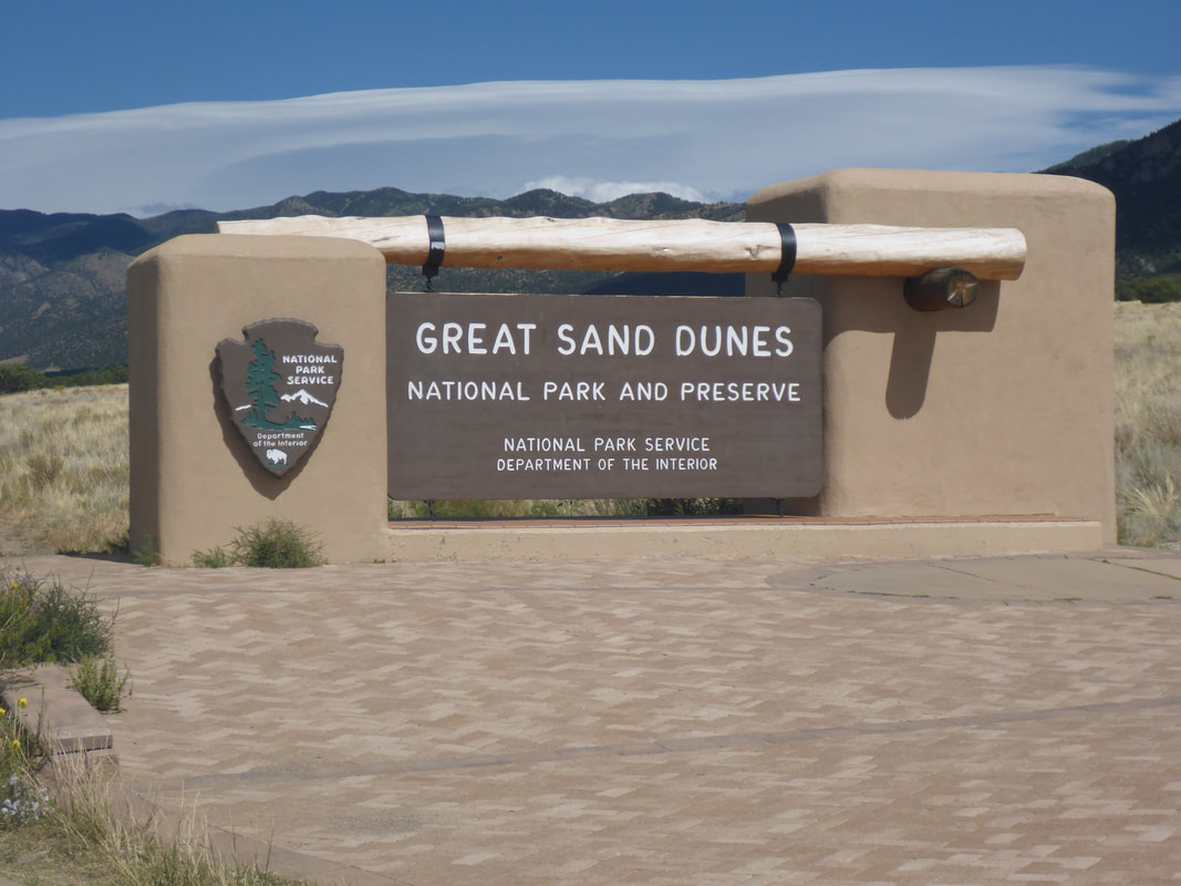
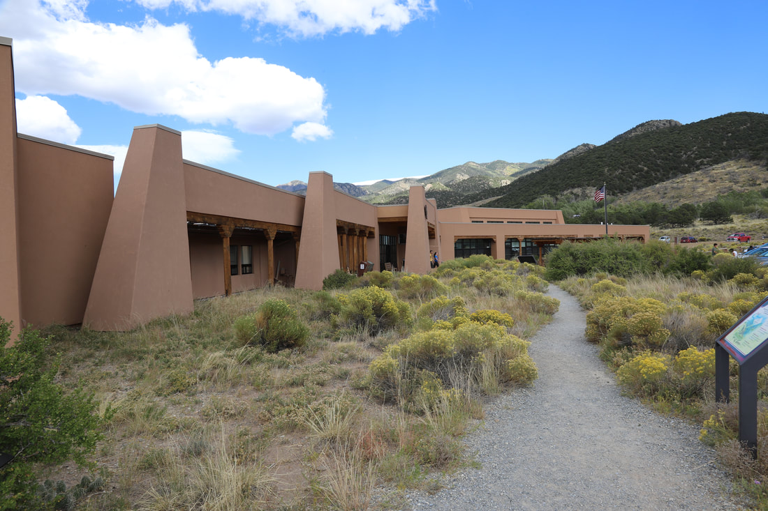
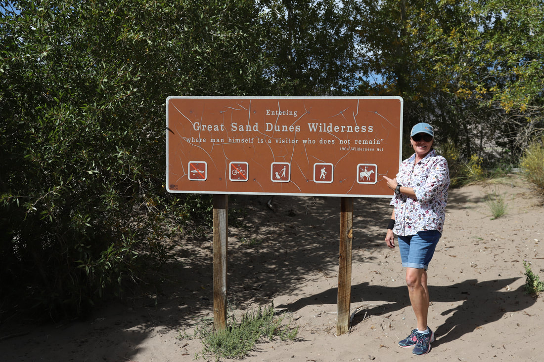
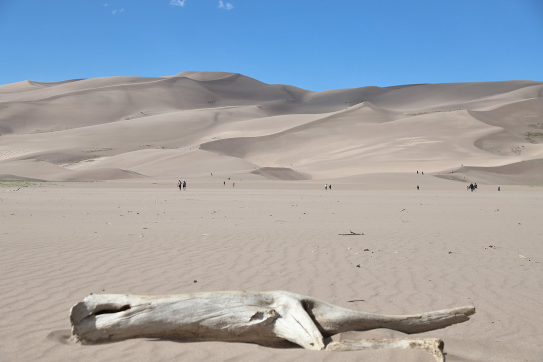
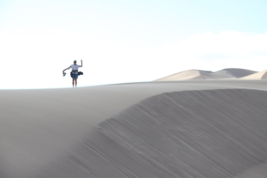
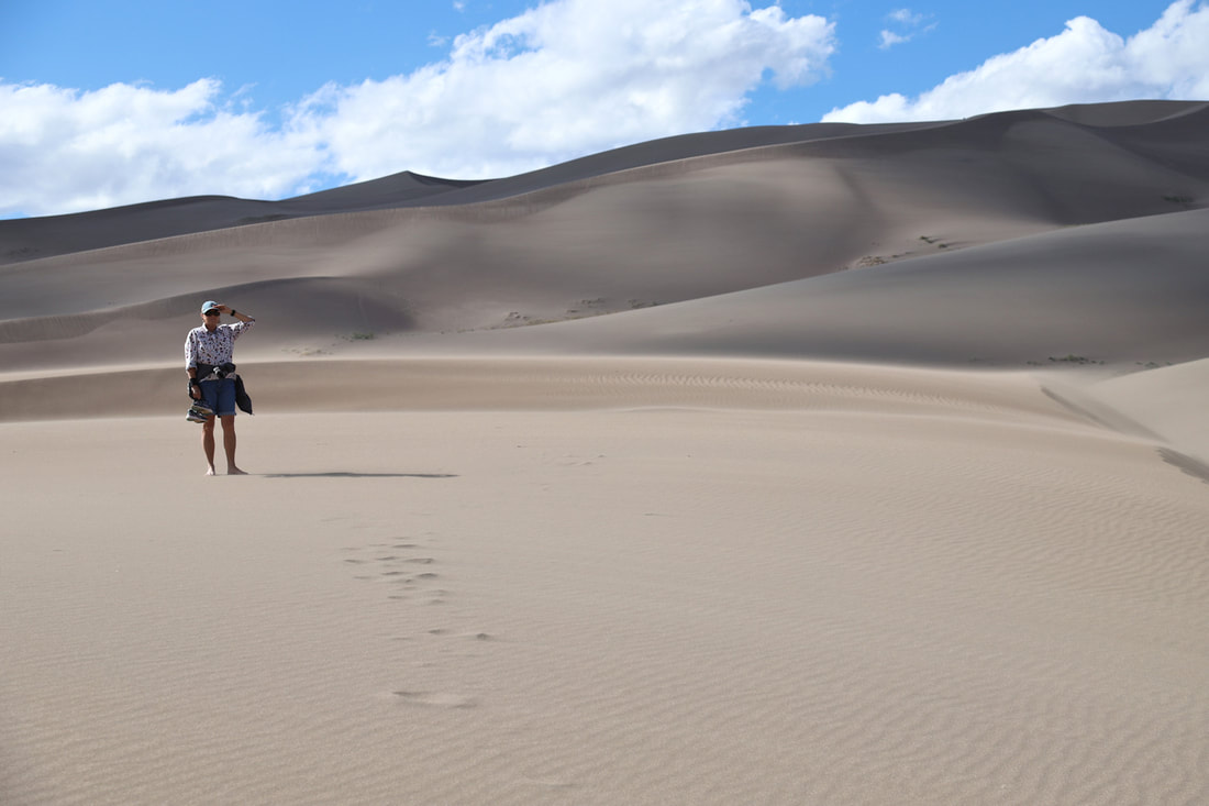
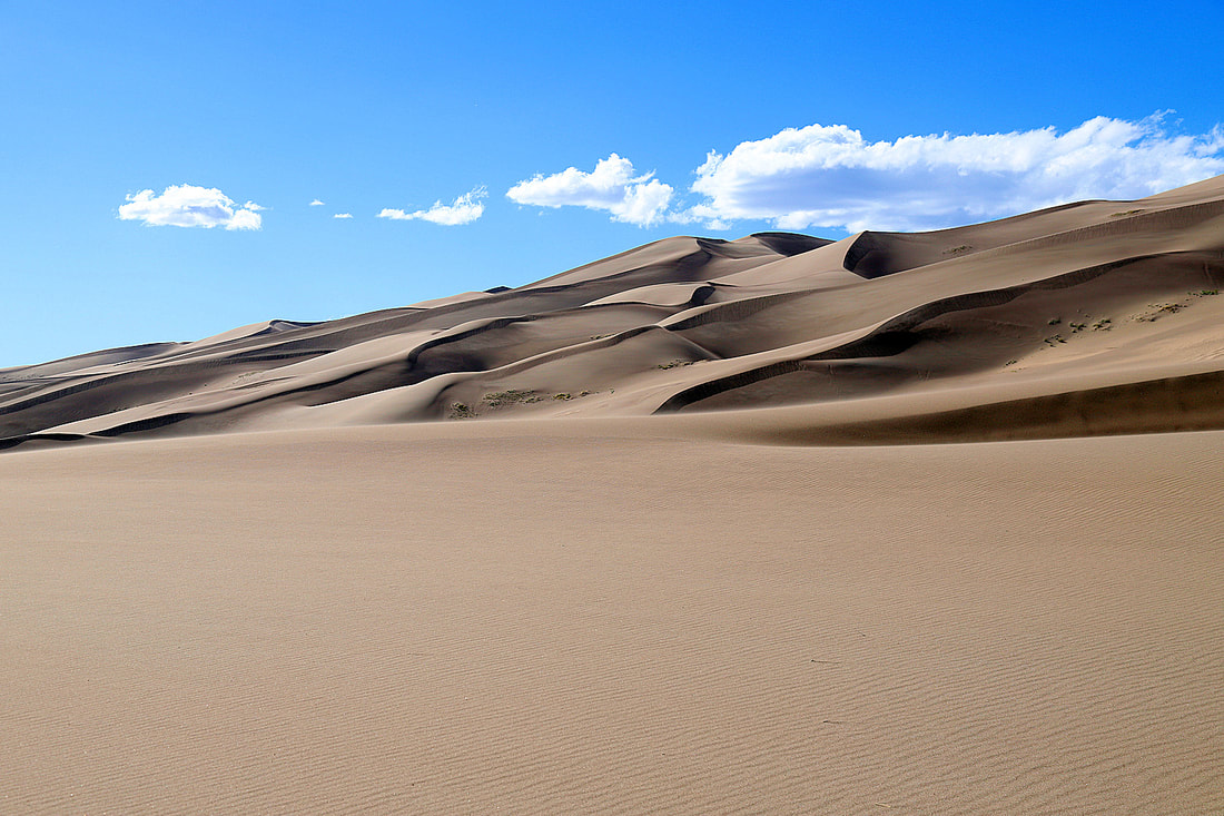
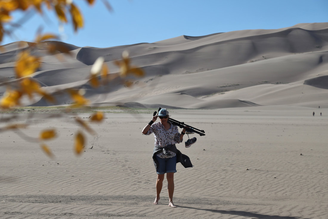
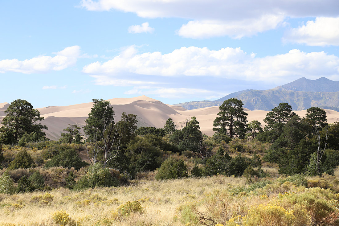
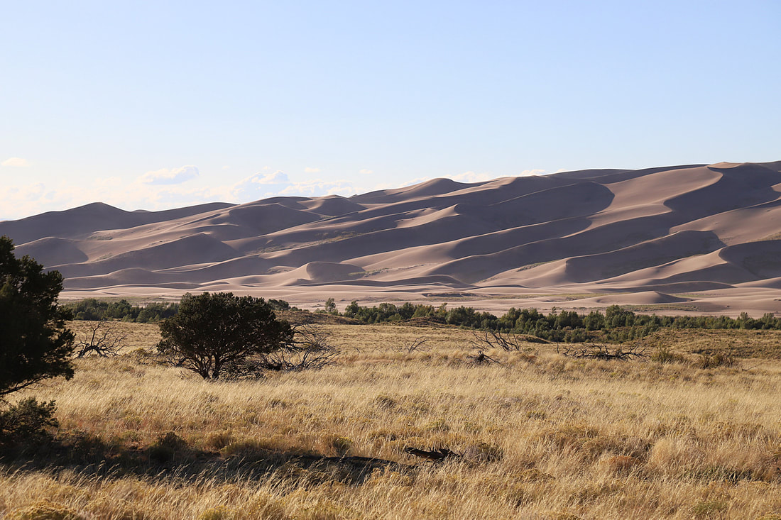
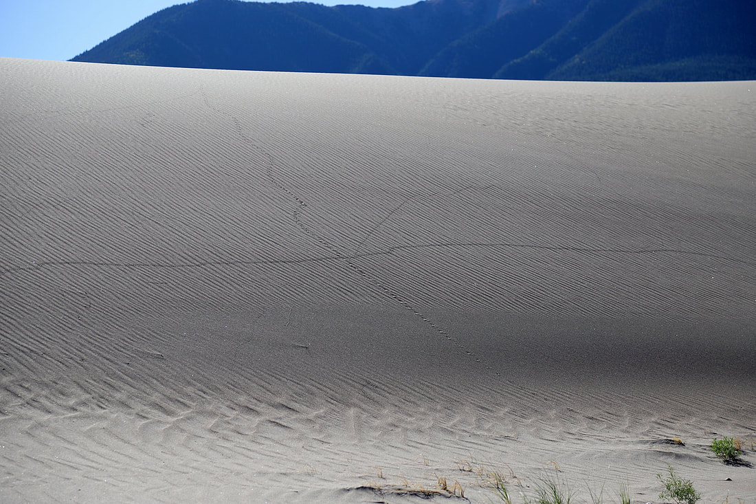
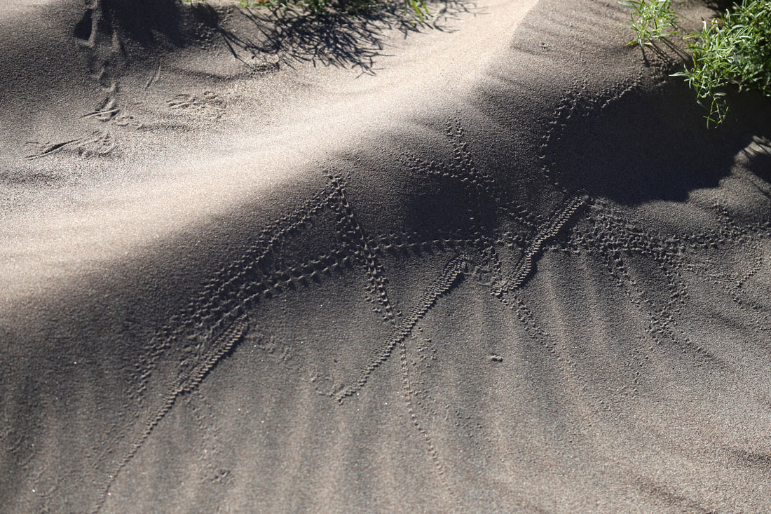
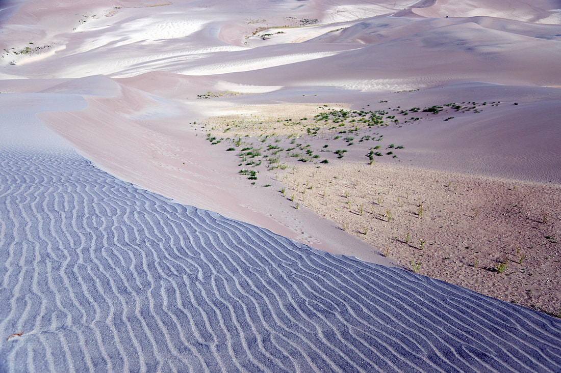
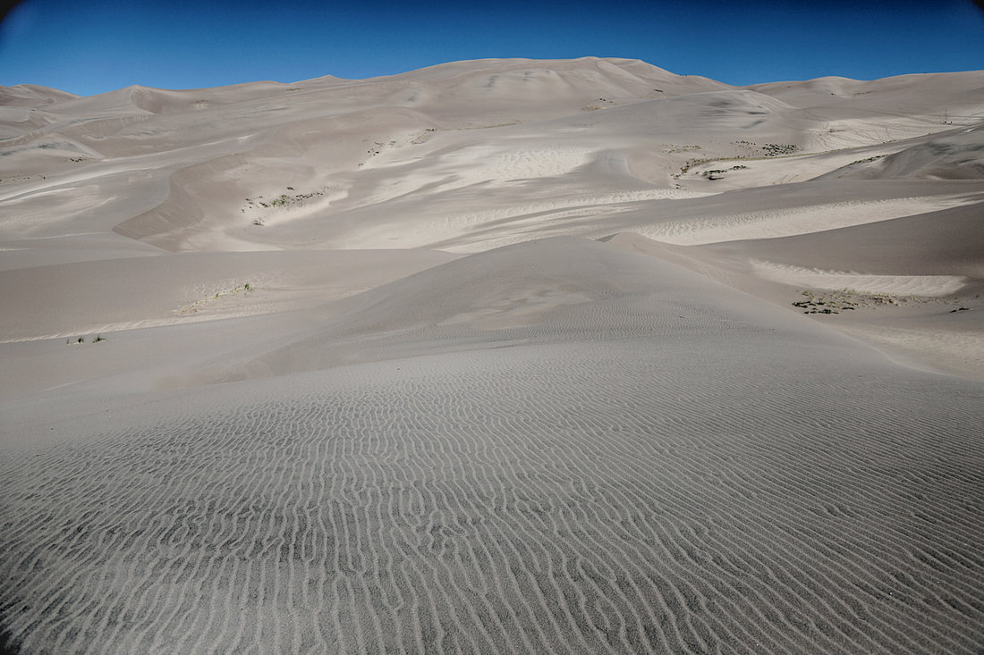
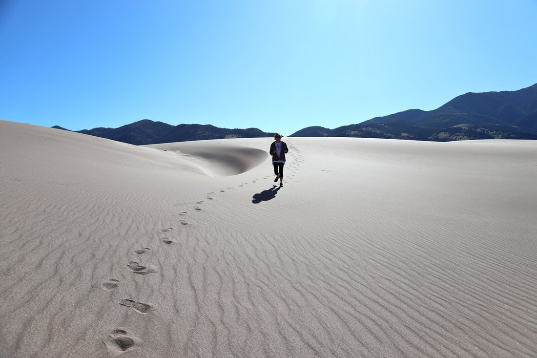
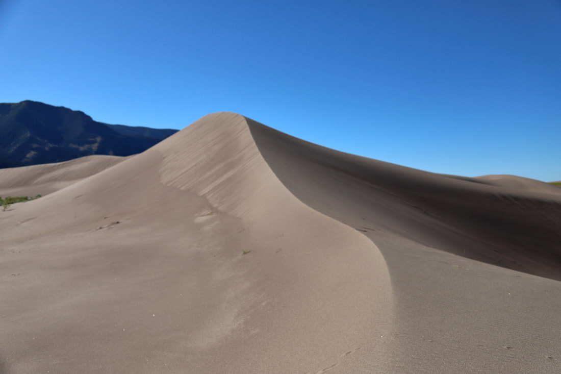
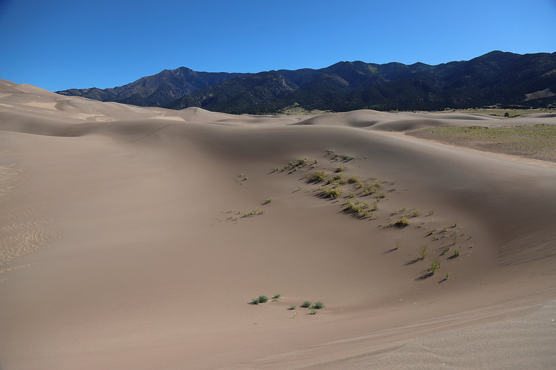
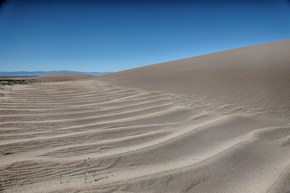
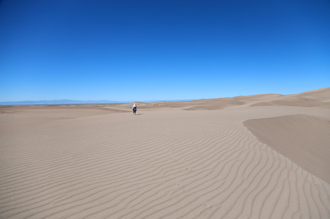
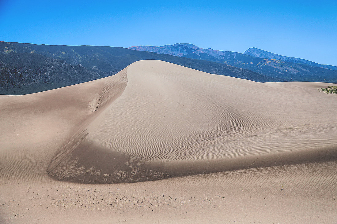
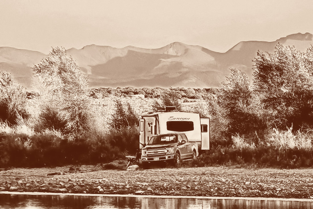
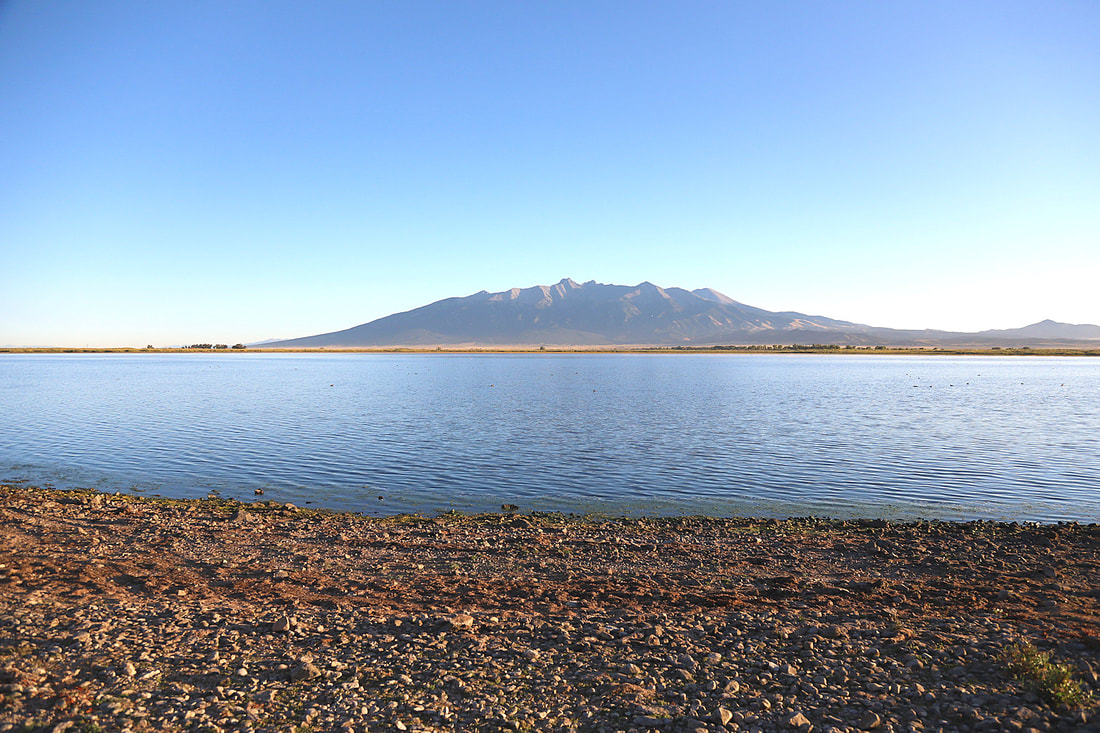
GREAT SAND DUNES NATIONAL PARK was an awesome experience and our adventures there aren't complete. We took two days to explore the area, but we have to go back so that we can drive the primitive trail through the mountains and I want to try some night photography. Map